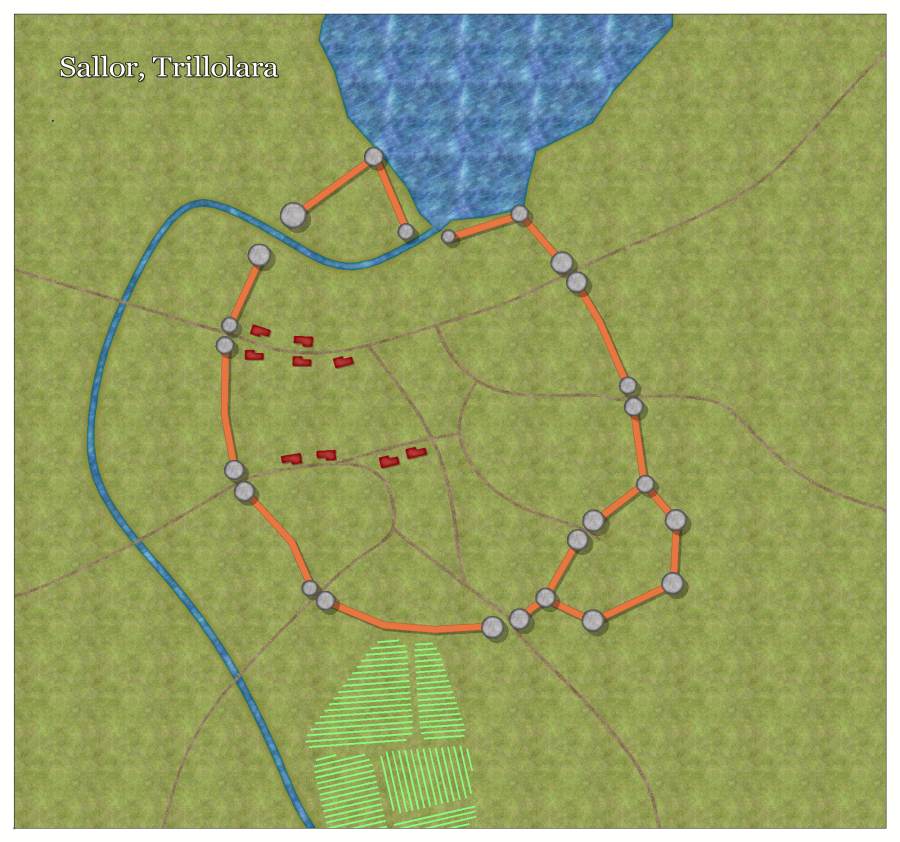
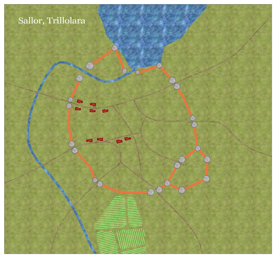
more mapping, Sallor capital of Trillolara, Crestar
 JimP
🖼️ 280 images Departed Legend - Rest in Peace
Yes, this is three projects now.
I'm gaming too much in an MMO. I need to make maps.
This started as Watabou and went to Ferraris; however, I am thinking about adding in Fantasy buildings. Maybe some other symbols as well.
I want Mighty Castle Symbols [tm] for this map.
Basically a preliminary map. After I got this far, I looked at my original maps of this city... this one is on the wrong coast of the bay. Ah, I can change it.
One map with effects, and one without.
Yes, I'll have to trim the white rectangle off of it later.


Comments
Map pixels are 3000 x 2800.
For the castle, and probably some other buildings, I'll be using the fantasy buildings. 'Regular' buildings will be using the Ferraris symbols.
Simple red buildings, for the poor.
Fancier the building, the richer the inhabitants.
Tax collectors near the gates.
edit: It looks better at 2000 pixels.
W = wizard.
T = tax man
small red buildings to the left and up from Farmer's Gate are day laborours. Mostly farm hands, but some work in the city.
Merchant Homes, size of the building shows wealth.
G = Grabel's Inn and Stables.
This city also has other things like the Dwarf King's Home in Exile. And a pier/wharf/storage building area. So I might redo this and expand it.
I wonder if any of the characters have notice the path of trees betwen Traveler's gate and Adventurer's Gate that is pointing at the wall ?
Probably increase the scale show it measures 200 feet, not 100' like it does currently.
Map is still incomplete.
And that Wizard's building... maybe has a warning system for anyone not a farmer going by there.
Unless someone can point out I missed something. I may add some ships later.
It is quite an open city. Any reasons why the inhabitants haven't taken greater advantage of the protected areas behind the walls?
Maybe they think the river protects them ?
Here is a basic map of the nation, Trillolara.
I'll also attach the previous map. The older map is a smaller city.
I'll put my usual scaling squares on the new map when I post it to my site.
( New keyboard soooonnnn ! )
This is one of the maps I have fixed up. I am slowly, incredibly slowly, updating my Crestar maps as I have the spare time to change/update them.
I am slow in making maps. I play Everquest II instead of mapping. And I have only done a few of the hundreds I need to fix.
Looking at my Crestar site, you might noticed all I did to many of the dungeons is convert them from CC2 to CC3, and change some of the fills on floors and walls. Maybe updating the symbols.
Lots of maps to go.
Here is Sraa Keep, old and new entrance/surface maps.
Yes, I used area fill with trees at the top, two forest areas separated by a path.
The black lines mark the start/end of various things in the design. Some damage, musical notes, etc. happen as the characters walk down the path. The 'rock shaped like a human head' was the first such item I put in my campaign, a Limited Wish.
Sallor, Trillolara
Very tired, candy, etc. so I'm off to sleep, perchance to dream.