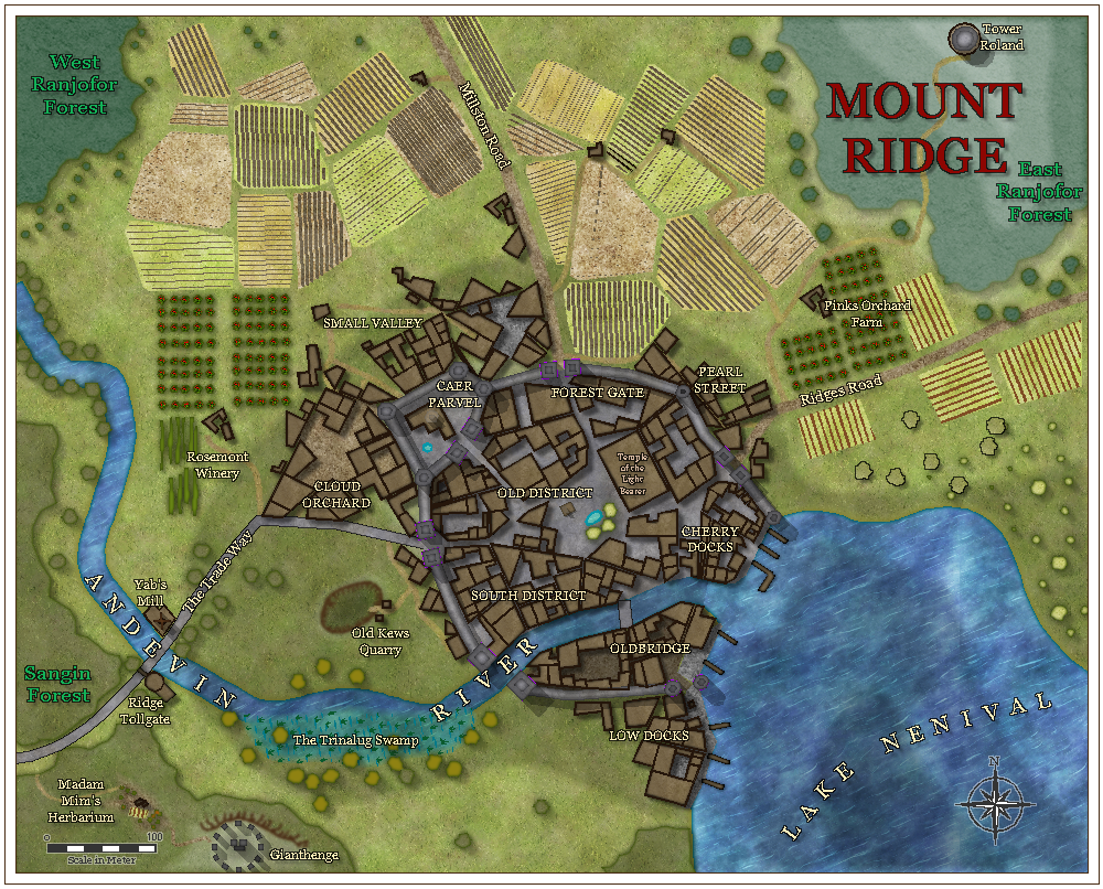
?Community Atlas - Mount Ridge - Watabou with new drawtools added for my use in future
Here is another Watabou City Annual Rendition. I have added about 15 new drawtools - they are so good to use, and to use 'Change like Draw tool'. I hadn't really looked at either (except making the odd drawtool) and hand in hand, they work beautifully to create great cities. The ones I created were for dark forests, pine trees and variable colour trees, vines, orchard trees, docks, among others, under Watabou City Annual QW. I am really quite pleased with myself.
Only 3 names that are personal - see if you can get them.
Minus the time in doing drawing tools, this took me ~90 mins - for a city!
Only 3 names that are personal - see if you can get them.
Minus the time in doing drawing tools, this took me ~90 mins - for a city!


Comments
I think, though, that the drawtools are separate from the FCW and don't come with the map - unless I'm wrong about that?
I know this is meant to show off the city, but I find my eye drawn to your farm fields. I love how they’re bordered with hedgerows. Really shows off the boundaries well!
I have found a location - Foxrun in the dream Lake region of Alarius. I have submitted it to Monsen, with appropriate name changes and compass direction altered
Kew.... ummmm… Kew....
No. That one's not doing anything to the bells in my head right now. It's a bit full of different shades of brown and grey right now, which might be why I can't see any links there. (I'm painting mountains)
My other nickname at school was Scribble. For obvious reasons, I think. I never cared what I looked like, and you couldn't get me away from the art rooms for anything. So the end result was a scruffy kid usually sporting at least a couple of painty splodges.
In lilac time, in lilac time.
To visit Kew in lilac time,
It isn't far from London.
She was disappointed to discover when she was stationed in London during WWII that there were no lilacs in Kew Gardens. 8(
BTW, the map came across alright. I only had to change the "CA157_Trees Fruit" fill file reference from absolute to relative (
@Bitmap\...). I don't really need your custom drawing tools to view it (although I'd love to see what you did with them) since the sheet effects came across with the map. I’m creating a custom template based on this map and am considering replacing some of the regular drawtools with macro ones to avoid having to change the active sheet when using theCHANGEDTMcommand. (This would also let me use theGETSYMSCALEcommand to scale line widths for metric scale maps.)