

Export to JPG adding extra border

I'm not sure what I did (if anything), but while testing various export settings, CC3+ started adding an extra border to my map, even though I set it to restrict image to map border. Any help would be much appreciated!
Comments
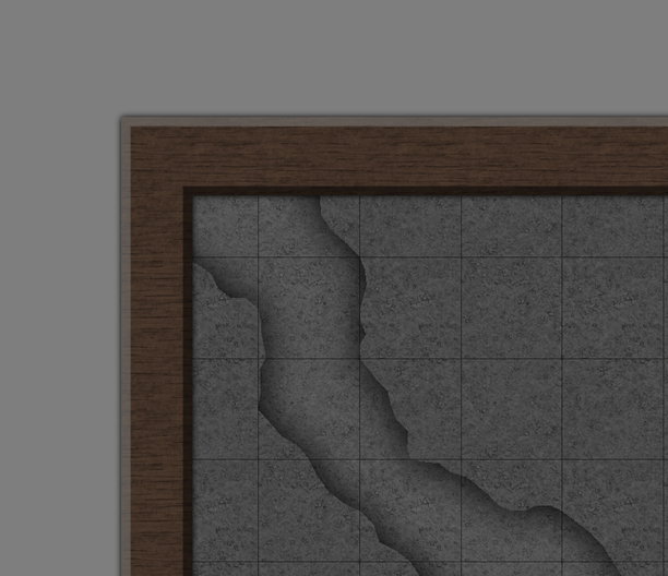
I get the same difference in colors when I have a beveled map as shown in this extract of one of my maps.
In the LAYERS dialog, try hiding all the layers except MAP BORDER (make this the active layer and then hit hide all). Doing this will quickly reveal if your map has a border or not.
Note that as far as CC3(+) is concerned, the map isn't the pretty graphical frame, but it is a set of lines/hollow rectangle on the map MAP BORDER layer. These lines are used to define the extents of your map. If these are missing, then CC3+ don't see a border, so the restric option does nothing. It is the same border that stops drawing tools from drawing outside your map area.
Personally, I often use the Rectangular Section export instead of the rectangular export, and just use the modifiers to quickly define the edge of the visual frame when exporting instead.