Beginner question about regional mountain maps - elevation
I'd like to make a regional map (15*15 miles) of a mountain range, but I really don't know how to picture the different heights, the hilly landscape with some mountains in between from an isometric perspective.
I guess it's kinda easier to do it in a top-down perspective? I was trying something with (stacking) bevel-effects, but that way I just keep mixing both perspectives. I also tried shading, but it just doesnt look right near the mountain symbols (currently Mike Schley style). Probably because I can't figure out the right scaling so everything fits (Google earth should help me with that, but I'm still not sure).
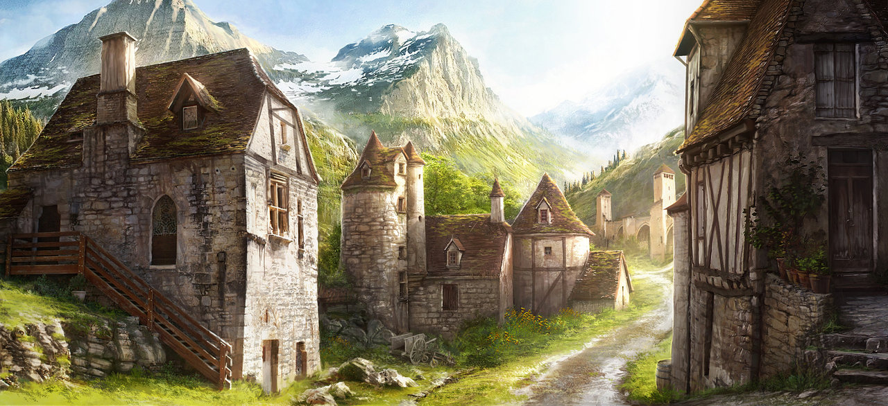
Unfortunaly I'm not at home right now, so I can't show you any of my attemps - although they are ugly anyway. :s But I attach an image so that you know what landscape I thought of.
I was searching for maps or even tutorials to help me, but I couldnt find something regarding my needs for CC3+, just something for Photoshop/GIMP, but it uses effects that are not available in CC. Tutorials would be brilliant, but even some regional hilly maps would be really helpful. I just find world maps, where mountain ranges are just a few mountains, or local maps where small hills are shown, but I cant find something for my scale.
Thanks for reading.
Best regards, tb
// English is not my mother tongue, please excuse any errors on my part :>


Comments
@LadieStorm: I'm not sure if you missunterstood me, probably my uploaded image was a bad choice, or it was just my explanation. :) The image does not show how I want my map to be, it was just for you to get a feeling of how the landscape would look like in a local map. Or did I missunterstood you? Perspectives seems to be pretty cool, but I was just talking about the "normal" CC-perspective, just not top-down, because I just don't like it that much and most symbols are not useable for top-down perspective.
That said, right now I actually think about switching to top-down, just because I constantly mix both perspectives.
@JimP: I searched for 'height' and a lot more, but the results are either for top-down view or world maps. I cant find anything about regional hilly maps and I have problems to transfer the given infos to what I need. Right now my brain is just stuck, I cant imagine solutions I didnt see before... I hope it gets better when I get used to this program, but I guess it is no surprise after just a few days, atleast I hope so. I have fun nevertheless. :D
I quickly created a map to show you what I mean, so that's neither what I want it to look like, nor anything I tried so far. I just left the landscape flat, because nothing worked the way I wanted it.
So, my problem... I guess a huge one is the right scaling. I mixed symbols (cliffs, mountains) that seems strange togehter the way I used it. And I think about the lake as the lowest point from where it's constantly going upwards til you reach the 'village on the mountain' in the north. But since the 'way' is about 20km long, it's probably bullshit anyway. Right now it probably looks like flat land between mountain ranges and not a single bit like the map actually is (on) a mountain range.
I don't want a perfect map, it's not even used as an handout (at least this map, probably other maps when I get used to CC). I just wanted to create a regional and visually plan where things are/happen.
So the picture above in my first post is the way I want this landscape to look like locally. Attached is a part of the mountain range on the world map and my "first map" (scale 20*40 km).
I hope anything that I write is understandable. I'm pretty confused and I guess that's what my text sounds like.
Best regards, tb
https://img3.picload.org/image/drdiggca/tbmr.jpg
I don't think your maps are the slightest bit ugly!
They're really well put together, and I really like the first one. That's very pretty
I am assuming that you are more concerned with the second one? That's only a guess.
What is it that you don't like about your maps? Is it the symbols, or the way the land is shown? Something else?