

FT3 to City Designer 3

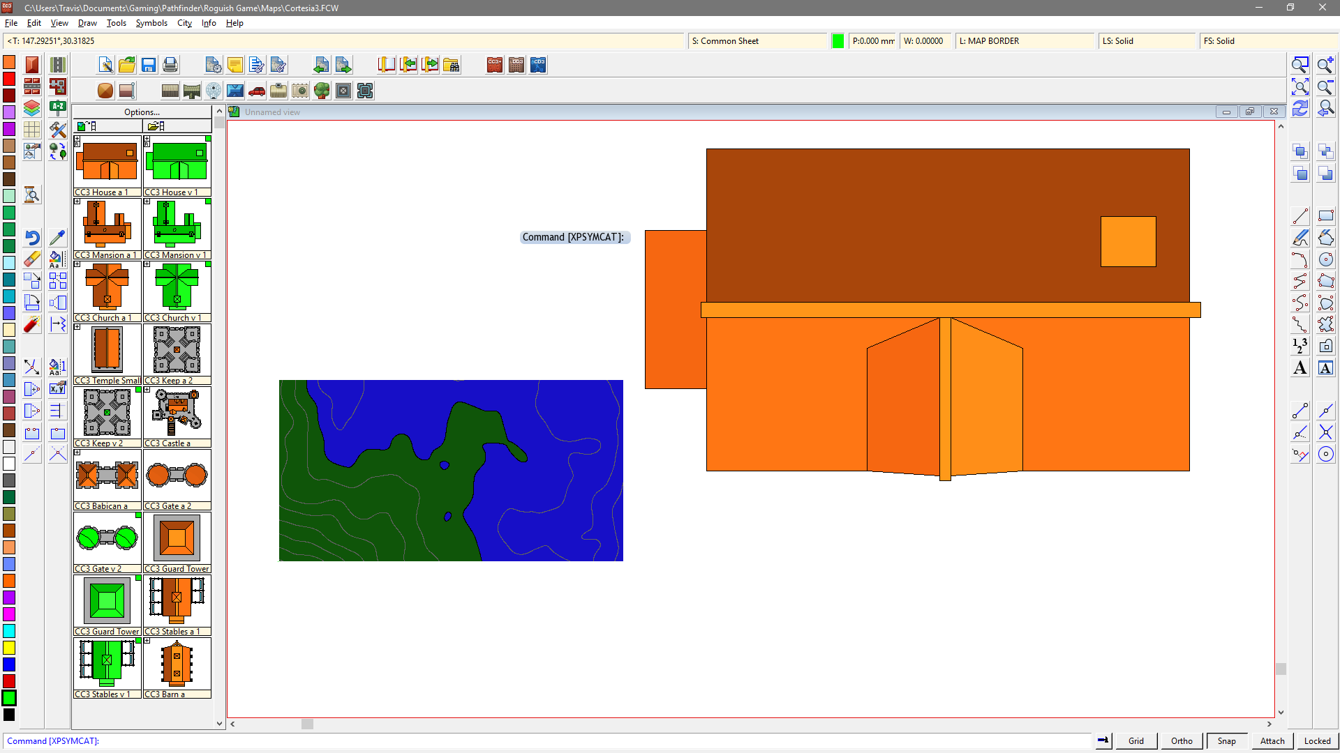
So, I am going to be running a game that pretty much sticks to the confines of a very large fantasy city. I used FT3 to generate a world and then looked for a section of coastline that I liked. The zoomed-in section is approximately 16 x 9 miles. I then saved the file as a Campaign Cartographer file with a custom exporter to show contour lines every 20 feet. The major problem I'm running into is one of scale. I open the CC file and load the City Designer symbols. However, when I drag a building into the map it is larger than the whole exported map area. Clearly I've got something wrong with scaling, but I can't figure out what. Thoughts?
Thanks!
Thanks!
Comments
I'm not entirely sure, but one explanation could be this. FT exported the map as an overland map. CC3 uses generic "map units" for its scales. Symbols are typically set up to scale correctly by using the map units of their intended map type. In an overland map, those map units translate to miles or kilometers, so 1 map unit is 1 mile. City maps, on the other hand, typically translate map units as feet or meters. So, a house symbol that is 30 feet in a city map might be 30 miles on an overland map. If your overland map is only 16 miles long, the house would be 14 "miles" longer than your entire map (nearly twice as big!). Typically, overland map symbols (like mountains) are scaled down but this could be what's happening with the city symbols.
There are a couple ways to take care of this.
- Start a new map, using a City Designer template, and then import the overland map into the city map, using Draw>Insert File from the menu. Keep in mind that 16 miles is pretty big for a city designer map. When you place the overland map into the city map, you may want to focus on only a portion of the map within the map border. Or,
- Set the scale of your symbols in the map. You can do this by choosing a symbol to place, and then right-clicking. That calls up the Symbol Parameters dialog box where you can set the symbol scale. Scale tends to be persistent so if you set it for one symbol it should still be in effect for another, until you change it back. In the dialog, click the More button to continue placing the symbol after you set the scale. You can also set the default symbol scale (and even the default map style) for the entire map via the File>Drawing Properties menu option, but I've never done it myself so I don't know how effective it will be. Might be worth looking at though.
The problem with adjusting scale for the symbols is that everything is scaled for the map template(s) it belongs to. So fill styles will also be out of scale. Personally, I think your best bet is to either import the map into a City Designer map, or to recreate the coastline in a City Designer map, now that you know what it looks like. And you can adjust it a little that way too.I'm sorry those probably aren't the answers you were hoping for, but I hope they help. Someone more savvy than I am may be able to offer other options.
Cheers,
~Dogtag
You can simply scale it to the correct size though. First, make sure no layers or sheets are hidden or frozen. Then, right click the Scale button and select Non-Visual Scale. When CC3 prompts you to select entities to scale, simply hit the A key to select everything, then hit D for Do It. Now, the command line asks for a scale value. Enter 5280 and hit enter. The command line will then ask for the scale center, just hit enter to accept the default value of (0,0). Now go back and hide any of the sheets and layers which were hidden beforehand.
The number 5280 is the number of feet in a mile. Overland maps are in miles, city maps are in feet (If you are working in the metric system, you would be using km and m instead, and the scale number would have been an even 1000).
Note that the FT export won't contain the fill styles and such required for a city map, so even after scaling, I would follow Dogtag's advice on starting a new city map, and importing this into it, but it is important to scale it correctly first.
Cool. Thanks for the additional info, Monsen. That makes a lot of sense.
Cheers,
~Dogtag