Why is Rectancular Section, not rendering the correct coordinates?
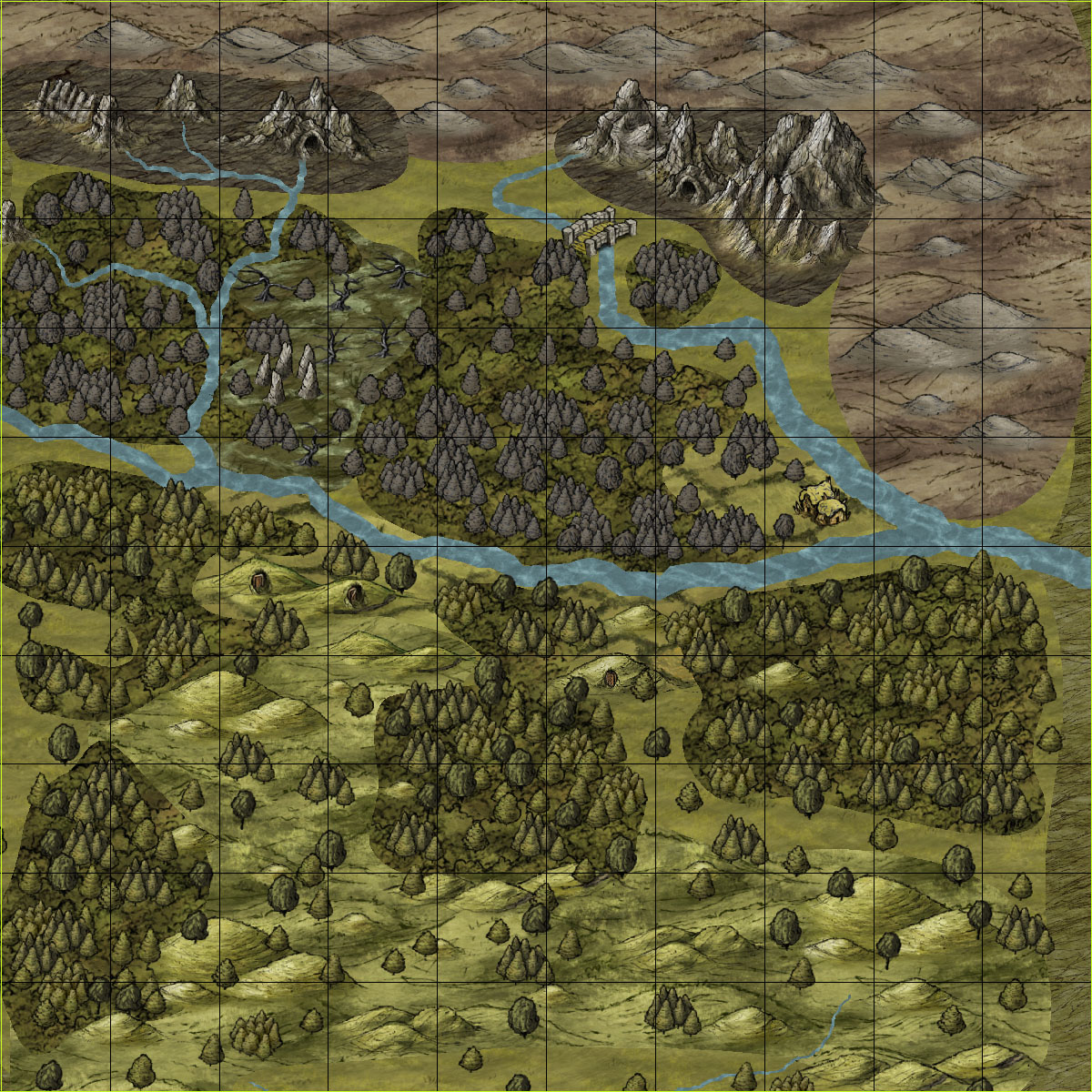
I have a grid, set up to be exactly 100x100.
In coordinates, this grid is correct.
In coordinates, the area I'm trying to render is correctly defined as exactly 600,1000 to 700, 900.
It is a 100x100 mile section, exactly.
When I render, I hit "Rectangular Section PNG" and the OPTIONS are to render it at the resolution 1200x1200.
The total size of the map is 2000x1600 miles.
The result, is a 1200x1200 image, which shows a 101x101 mile section.
I tried rendering at coordinates with 1 pixel off, but then it goes even further to mess up.
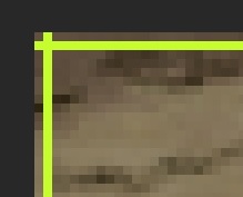
Every render, has exactly 1x1 extra pixels in the top left corner.
This is NOT what I am commanding the program to do.
Instead of doing coordinates 600,1000 to 700,900- exactly 100x100, it is doing coordinates 599,999 to 700,900.
How can I fix this?


Comments
Just export at 1201x1201 then get rid of the extra pixels with a picture editor. I personnaly use PhotoFiltre or The Gimp.
Very cool map, btw.
I'll bet it looks awesome with the effects enabled. Love the dead-looking forest.
I hope JDR's solution helped with the reason for your post, too.
~Dogtag
Thank you both for the compliments. I will post all I have so far, so everyone can see