

Trim Question

Hi Everyone,
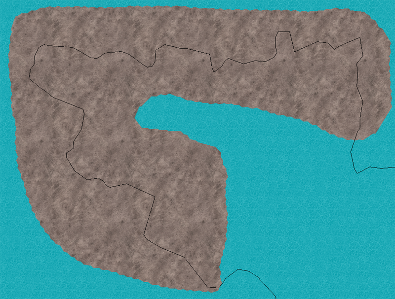
I'm working on an overland map that covers a landmass in the northern hemisphere of a fantasy world. I'm trying to create terrain backgrounds with bitmap filled polys (e.g., Terrain Default, Mountain Dark) for mountains in an arctic region, and I've adjusted the drawing tool to sketch rather than fractal. I need the terrain poly to follow the line of the coast, and my plan was to make the main landmass hollow, and then use a "trim to entity" to cut the bitmap poly to the coast. That's not working, though I'd have thought (given what I've read) that it should. Am I using the tool wrong, or can you suggest another one for this purpose? I've attached an image to illustrate how things stand at present.
Thanks!
ZM
Comments
1. Explode the mountain poly so that it is just the outline.
2. Erase the lines of the mountain outside of the landmass.
3. Make a copy of the landmass onto the mountain sheet/layer
4. Erase the unneeded portion of the landmass.
5. Make sure that the remaining segments of the mountains and landmass are lines (not paths) using list. If there are paths, then explode so that you have all lines.
6. Zoom in close and check the entire outline making sure there are no gaps or crossing lines. Use Node Edit (DYNEDIT) with the endpoint modifier to connect gaps and use Trim to correct crossing lines.
7. Chang properties on all entities to be the mountain fill style.
8. Do a line to path on all entities.
9. Do a path to poly on the resulting path.
Some are obviously rocky deserts, or forested areas by the bitmap fill I use. The rest are labelled as I use the same light green for light forest and tundra.
Moutains of Desication are dry, the others have a few pine trees on them to show they get snow.
It means you can trim a line to a line, or an arc to a line...
If you trim a fractal path to something, the first or last line of the path will be trimmed.
You cannot trim a closed entity to something.
You can trim TO a closed entity like a polygon but sometimes it only works if the entity to trim already crosses the target entity, especially fractals.
As I understand you tried to trim your closed mountain fractal polygon to your coast line path in order to keep the part inside the coast line like a boolean intersection. That is sadly not possible. Union and difference are also impossible though a difference can be done with multipoly if the shapes don't overlap.
Trace is the common solution. Doing a copy of the coastline and editing is another.
So I use the edit node buttons on the left side to move and alter the shape of polygons to match better my map border.