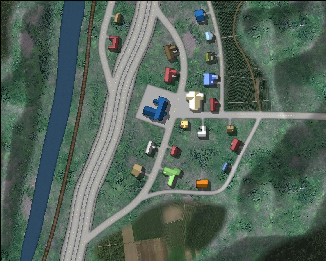
[WIP] Satellite Streets
Playing around with the Satellite Streets annual this afternoon. I was going to do the little town I grew up in, but it had 3,000 people at the time (about 10,000 now) and was a bit too big to be a cozy little town. I ended up doing a town loosely inspired by a much smaller unincorporated town that that about 15 miles away.
Pretty pleased with how the highway onramps/offramps worked. I had an underpass at one point (by creating a "Roads Back" sheet) that worked pretty well, but couldn't really get it to fit with everything else without enlarging the size of map, so I abandoned that.
There are supposed to be hills on either side of the river, with the river in a deep canyon, but drawing the town on the hills wasn't quite to my taste.
I did have a little weirdness with the railroad tracks. They looked funny when I first drew them, and I discovered that I didn't have the Earth background fill that it used, so I was getting red X's. I checked the Bitmaps folder for this annual and it did have the earth fill, so I reimported all of the fills for this annual and got it to work.
Also discovered that while it works to draw a forest or woods over the mountains, you lose some of the beveling detail. I ended up redrawing the forests and woods in little patches.


