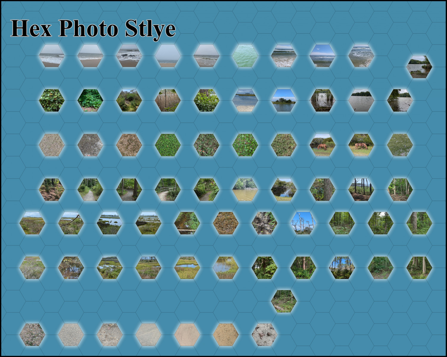
Photo Hex Map W.I.P
I recently went on a vacation and intentionally took pictures of Mother Nature. My idea is to create a hex map using these photos. I still need to add rivers, mountains, and a few other elements. I thought I’d share the symbols I have so far.
I’m not entirely sure how I’ll create the entire map. One idea is to make landmarks appear elevated with drop shadows over the land, and to have the land glow above bodies of water. I plan to use simple icons for settlements.
Suggestions are welcome.


Comments
That's an interesting idea.
Looks like you've got a lot of stuff sorted out already.
As Sue says, this is an interesting idea.
Used for specific features, some would work well, I think - as a highlighting mechanism.
I'm less sure if they'd be sufficiently clear when drawing a whole map though.
You are correct about the whole map. It looks terrible.
I'm not giving up on idea, but its on the back burner.
That's a shame, but you could still use it as a hex highlighter for key locations, much as the Ancient Realms and Modern Journeys styles do with circles.
You could also use this as a sort of key - standard map symbol with a call out to the photo hex. I was always a bit confused as to what 'badlands' would look like when the D&D Expert introduced me to overland hex maps (I'm still not fully clear tbh)