

Using real-world data in FT3
 smhollingsworth
Traveler
smhollingsworth
Traveler
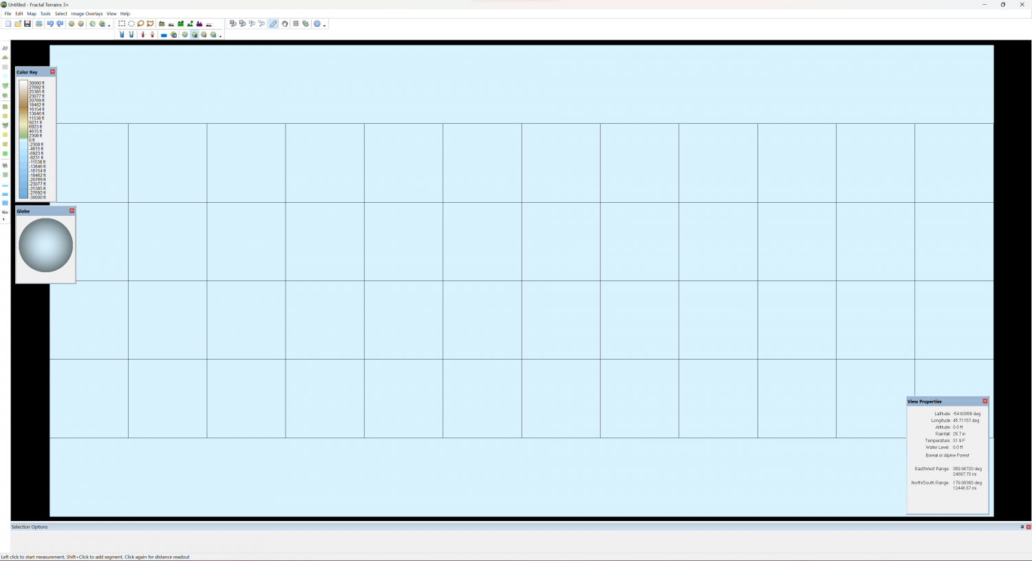
Is the Mapping Guide: Real World Maps with FT3 and CC3, from May 2012, still valid? I downloaded the ETOPO1 data files and followed the guide (several times), but all I get in FT3 is a solid-colored "map" with an altitude of zero.
Comments
This morning, I found this discussion (https://forum.profantasy.com/discussion/comment/16078#Comment_16078) which got me further. Now I get landmasses, but they are all slanted. An interesting idea, but not quite what I'm going for.
Ok - I figured it out. Line Width should have been 86400, rather than 86404, and Width and Height each reduced by 1; 21600 and 10800. All nice and straight now.
Since it's just me talking to myself, if I knew how to delete this discussion, I would.
Well... I thought it was all working, but I cannot edit the map. I made sure to run Actions -> Burn into Surface and allow prescale offset editing, but there are no changes when I try to raise or lower land. Is there something else I need to do to enable editing?
You aren't talking to yourself. I've been reading along each time, but I just don't know the answers to any of the questions you've asked so far (including this last one). But there are others who might know the answers.
I just meant I didn't know if it was helping anyone else or if I was just thinking out loud
I'm glad to hear that you were able to resolve the problem. Unfortunately, I was away from my computer and didn't see the posting yesterday. Older FT versions (prior to FT3+) had some issues with the last column in the world and the extra 1 on the sizes was to try to resolve those issues.
In a normal world, the final altitude at a point is "(fractal + prescale_offset) * roughness * base_scaling + offset" where fractal is the basic fractal function and base_scaling is an internally-calculated value to get fractal to scale to the altitude range specified in the world description.
For a binary input file, the altitude is calculated as "binary", which is much less complicated. However, it also means that you don't get any editing features.
What Burn In To Surface does is to copy "binary" to "offset" and also set "roughness" to zero everywhere. That means that your altitude is then equal to "offset". Only offset editing tools will work at this point, not prescale offset tools because setting roughness to zero during the Burn In To Surface operation completely disables the fractal parts of the world generation and gives you just the data in the offset channel.
The reason for the prescale offset editing tools is that is also an exponential operator in the fractal component so that it gives the appearance of continental shelves. Unfortunately, that exponential operator also means that you're editing in a non-linear space and humans (well, me, who likes to think that he's human) tend to have less intuition with non-linear things than with linear things. The offset tools operate in the post-exponential linear space and are easier to reason about.
You were helping me by making me think about it ;)
@jslayton Are the offset tools the "Raise" and "Lower" tools? If so, those aren't doing anything visible, either. I say visible, because they are doing something - the working icon shows when I click with them, but they don't change anything that I can see.
EDIT: I stand corrected. I just seems to take higher values than the prescale offset tools to make visible changes.
Raise and Lower are the offset tools, yes. The value for the should be in feet or meters, which is very unlike the prescale tools, where values are approximately in "unit space" (-1 to +1). Try using a larger value (maybe 100) and see if it's noticeable. If so, indo and try a value of interest.
Thank you. I was wondering what good values might be. After using 0.005 for the prescale offset tools. I'm over here, working at a whopping 1.5, and thinking this is taking forever to fill a small hole...