Glorantha, Genertela continent, various maps
 JimP
🖼️ 280 images Departed Legend - Rest in Peace
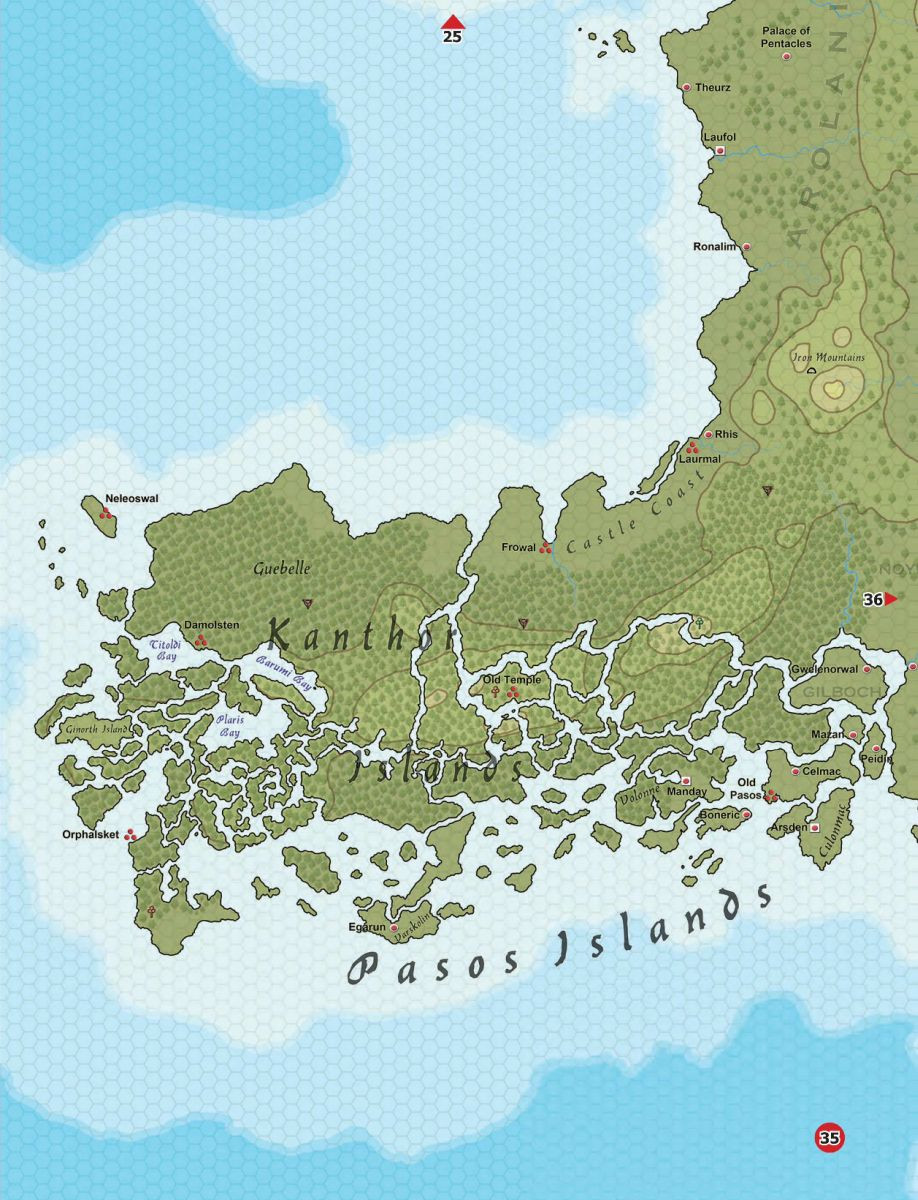
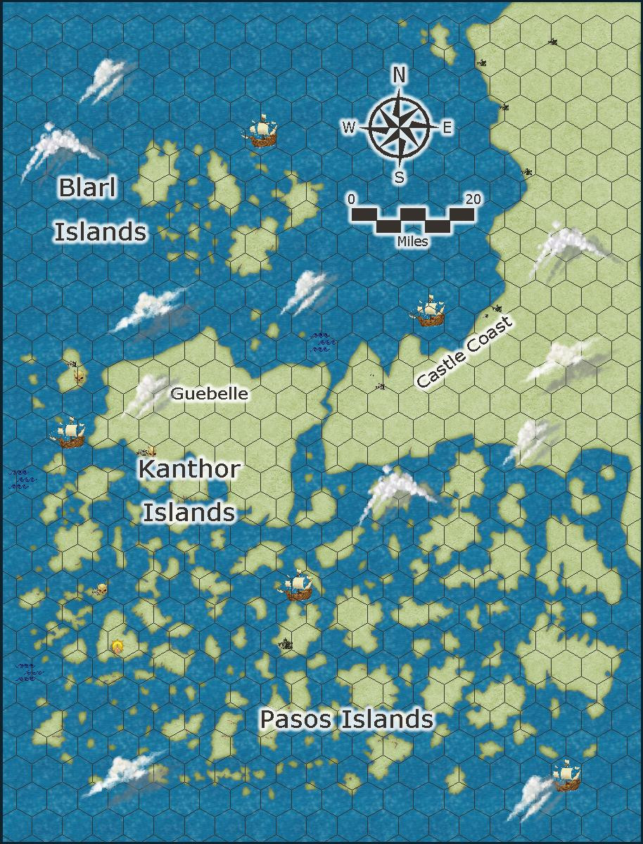
I used the Island chain 2022 Annual for this. The right side land mass is mostly correct. The rest is me using random island chains and island random placements. More work to be done. Some symbols used in Runequest maps don't exist elsewhere, I'll come up with something. ( Fixed a typo.)
The Blarl Islands aren't on the original map. This is map 35 out of 120.
Here is the original.
My version. I like the large number of islands better. And on my map you can see the hexagons. Still many things to do, labels, rivers, hills, etc.
Oops. Take out the png map and add in a better jpg map.


Comments
Okay, site navigation menu is up. Large open space on the menu, that is to leave room for expansion.
Updated Kanthor Islands. I think I got the text the way I want it.
Old Vadeli and New Vadeli Islands. map 34 of a large set. Over 100...
original
Red Vadeli Islands. map 24 of a plethora.
I don't see the need to continue posting the originals.
Coming on nicely :)
Are you going to put some trees on the new map of the Vadeli islands like the original?
I didn't even notice them. I can do that, but I have to put up my tent and check the waterproofing on Monday. Camping trip in May.
Have fun! :)
Thank you.
Added a few trees, waves on one, and some small amount of raised terrain. I think I made the trees too small.
I am thinking about adding a bit of ruins here and there on these two maps.
That would be good.
Red Vadeli. At this scale, the island upper left is about 70 miles at its longest, the ruins and trees are markers for a village or a forest.
Big island on this map, upper left, is about 88 miles.
This is the map from the pdf, number 33. I'll post my preliminary map I made.
What I find amazing, I didn't know there were such long bridges in the game.
My interpretation.
I added some cities with different size text. Upper right size 10. Center 4.2. Lower left 7.0.
I checked previous maps in this thread... size 15 text. But when I did that size on the bridges, that overwhelmed the map.
Its going to be a balancing act of text size. Tomorrow I'll be putting a storage shed together. So no mapping. Probably too tired afterwards as well.
Well instructions had us put together the roof struts and the two doors before the floor. Due to the heat, two days to assemble it. Humidity isn't helping either.