

Which styles work best with each other as you scale down from world to regional?
 NZgunner
Traveler
NZgunner
Traveler
I've got a few worlds created in FT3+ and I want to start looking at dropping down into some more detailed maps in CC3+.
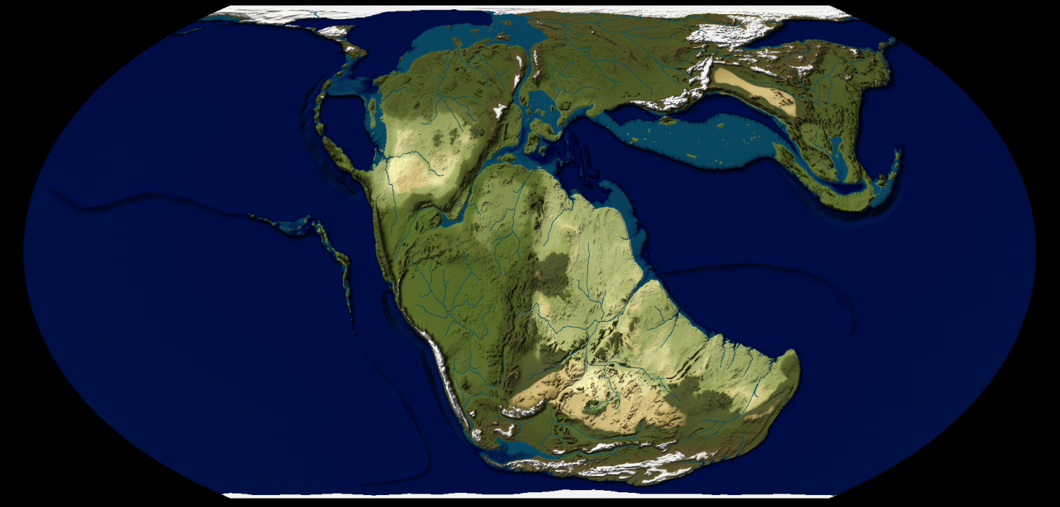
For the overall world I'm just going to go with a basic image export using a nice image climate file, something like this,
Dropping down to a continental scale map, say 6,000 by 3,000 miles I'll use a Lambert Conformal Conic projection, but still as a basic image.
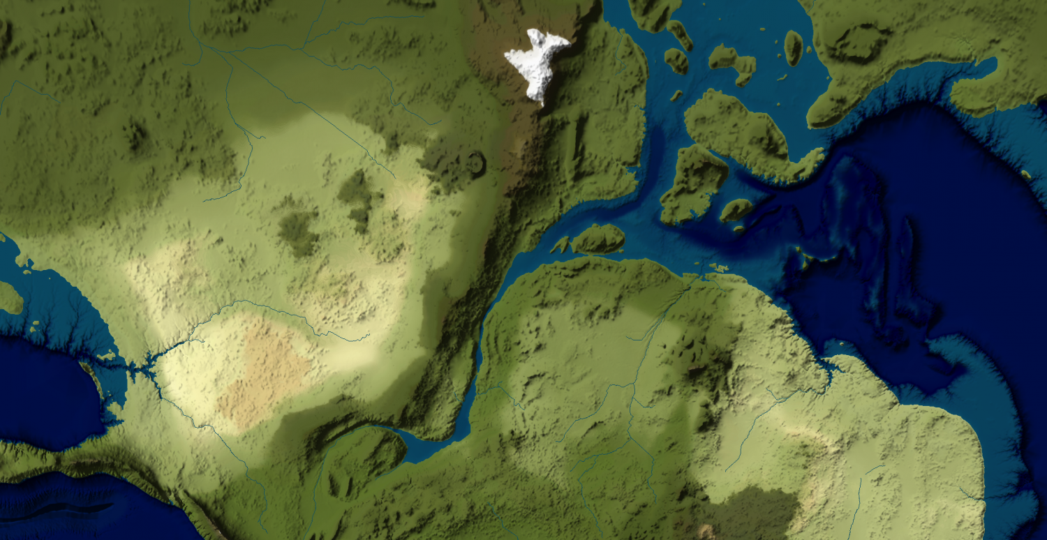
Going down further (still using LCC) to a scale of about 100 miles to the inch if the map was on A1 sized paper is where I think I'd make the transition to a proper CC3+ map style as the editing resolution of the FT3+ original (8192) has become less acceptable (see below). At this point I'd need to do more work on coastlines as well.
What style(s) do you think would work well at this scale?
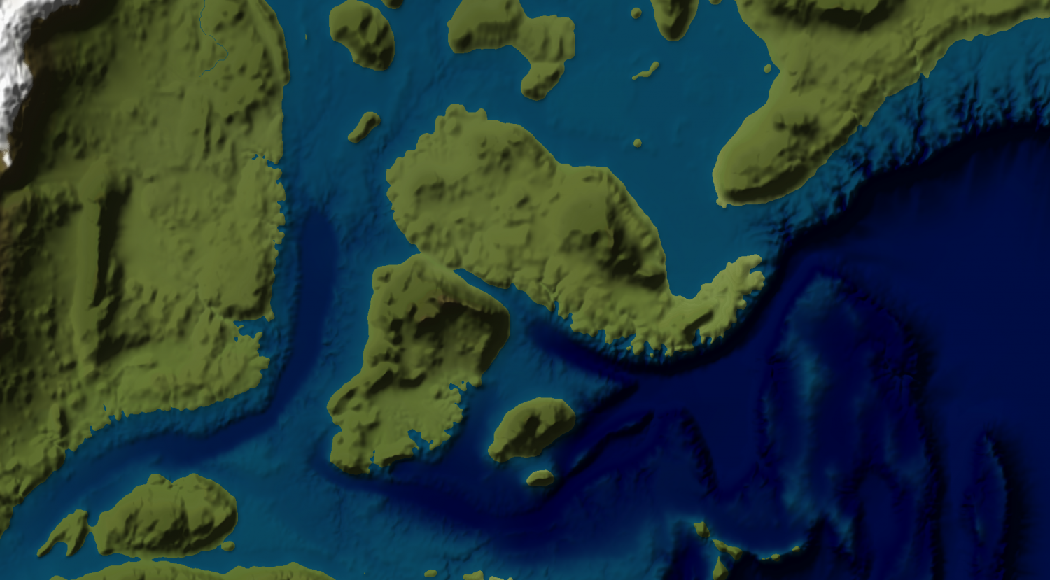
Down at 20 miles to the inch, the scale of Pete Fenlon's ICE MERP maps, is where I'd be going for something like Fenlon, Schley, Spectrum, Jon Roberts/Midgard, or similar.
What are your thoughts?
Answers
I use Schley for all my regional maps from 1000x1000 miles (1600x1600 km) down.
Examples are in my Myirandios album in my gallery.
Most overland styles should be acceptable. It just depends on what you want. I like the new styles with the most options, so something like Spectrum. If you like the look of the early 2000's then go with Schley. Since it is the default, it has the most options with more being added each month.
You could use a variety of styles that might reflect the culture of the map maker. These days most real world maps seem to look fairly similar, but that was not always the case.
After seeing @whit2468 's cool middle earth map using the Ancient Realms style I'm thinking this looks a great style for 100 miles per inch maps (1:6,336,000).
This does mean I'm going to have to buy the 2015 annual to get it, but there looks to be some other good stuff in there to make it worthwhile.