

width change on citys
 Ricko
🖼️ 107 images Mapmaker
Ricko
🖼️ 107 images Mapmaker
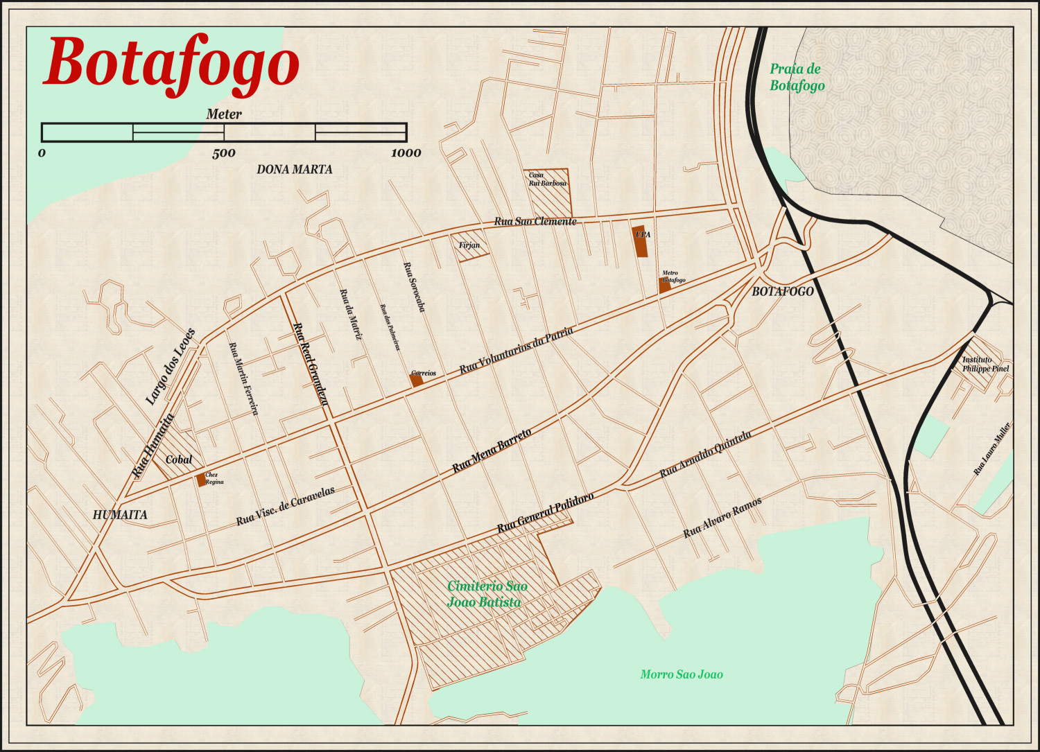
After using cc3 city to make the map of botafogo, I opened a new 1930 map (with the same measurements of width and length - meters) to make another map. I notice that the widths of streets, rivers, railway etc... are "wider" than on the first map.
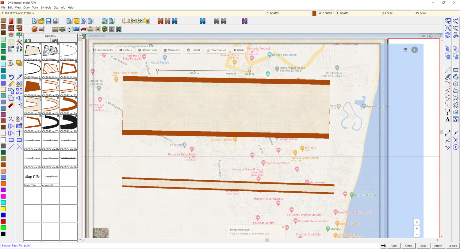
The situation that intrigues me is I have not changed absolutely any measures in selecting drowing tools > advanced etc. This same "misconfiguration" problem occurred in ferraris style - where everything is too big and out of proportion,.
If anyone can shed some light on this, I'd really appreciate it.
Thank you
Frist map
Second map with same mts. size
Comments
Looking at the coordinate readout on your screenshot, that second map looks to be absolutely tiny. Your cursor is all the way to the right of the map, and it reads (209,55) , meaning your entire map is less than 200 meters wide, while the top map, if the scale bar is to be trusted, is about 2500m wide.
The "road wide" tool (I see your collections are collapsed, so I assume you use the default tool in the collection, which happen to be the imperial version) is 36 map units wide, so for a map that is approximately ~100 map units tall, that result looks pretty correct.
So, it doesn't seem to be a problem with the tools themselves, but rather your map size. The first obvious question is obviously, are you sure you set it up correctly when creating it, because it is clearly not the size of the map from your other image. Assuming you did, have you perhaps changed anything in the Map Units setting (File -> Drawing Properties -> Drawing Units), or re-scaled it using File -> Resize drawing area? Or even manually resized it using the Scale tool?
tool?