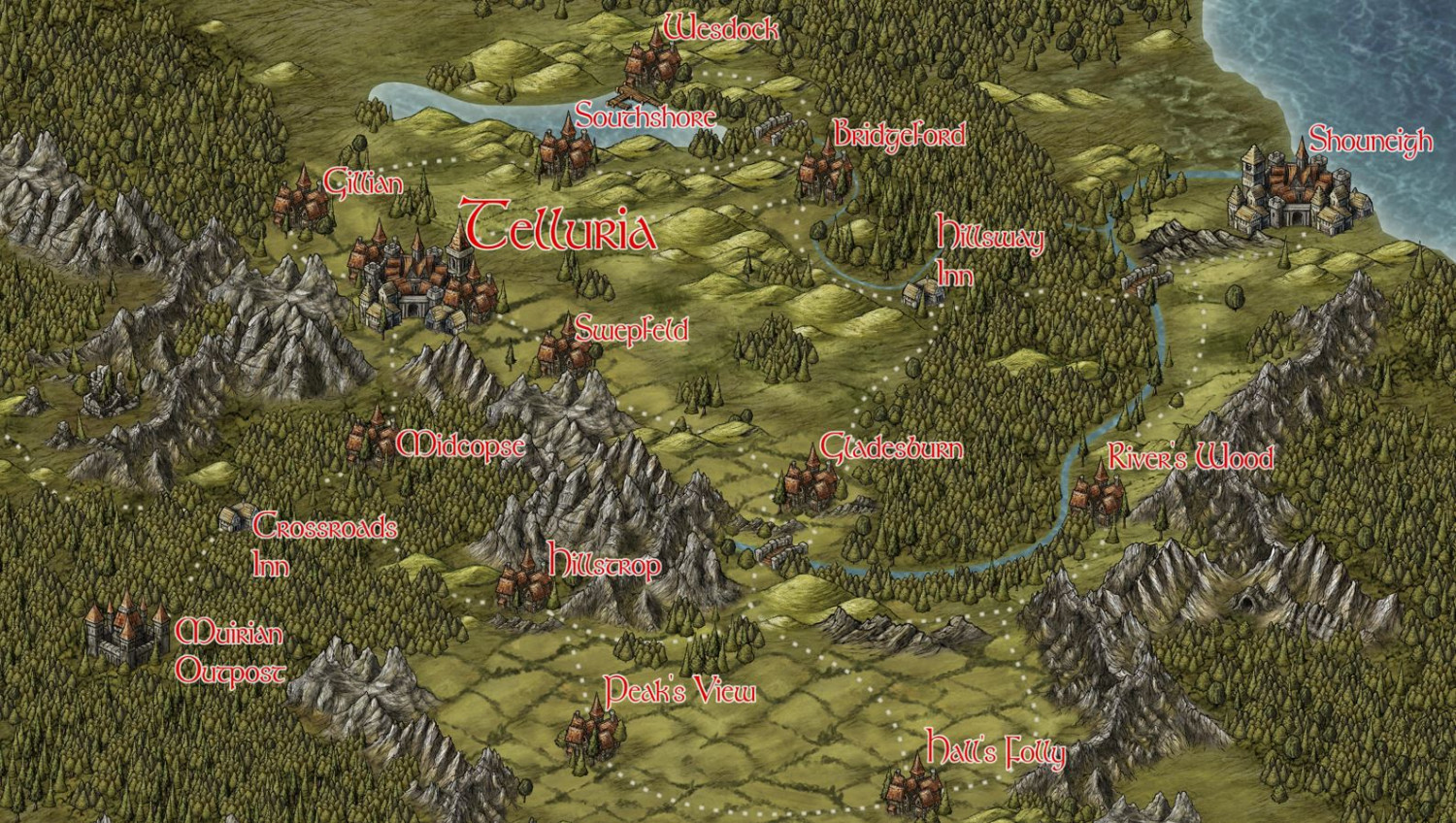
Telluria Campaign Map
Here's one of the regions that I've created for the D&D campaign I'm running for my son and his friends. It's the capitol region and country of a 5 kingdom coalition called 'The Tellurian Alliance'. The 5 countries that make up the partnership are:
Telluria, Pryder, Tarset, Kungland, Yanidi (4 of which are unmapped / yet to be created)
I didn't exercize geographic principles when designing it, just went with a 'this-looks-cool' mindset.
As always, comments and suggestions welcome.


Comments
Good stuff!
The labels get lost in the green a little, I feel, especially with the white glow.
It may not work with this font, but you could try using the boldface option for the labels to help them stand out a little clearer; or possibly increase the white glow effect. Labelling is always tricky... 😊
The white does not provide enough contrast to the red. White around black, or some very dark color, would work better.
I like the map and I am fine with the labels at this level of magnification, but I would still take the suggestions of the others to improve them.