

Help understanding map size and the grid tool
 Tez McArt
Newcomer
Tez McArt
Newcomer
I have a map that has been worked on and grown over time by a group of folks for a roleplay campaign, I'm working my way through correcting the layers for the assets etc as its grown haphazardly over time with novice understanding of Campaign Cartographer.
The map expanded beyond its original size, and now when I generate the grid it generates in just a small section of the map.
Is there somewhere in settings somewhere that I can reset the maps boundary size so that the grid will generate automatically correctly?
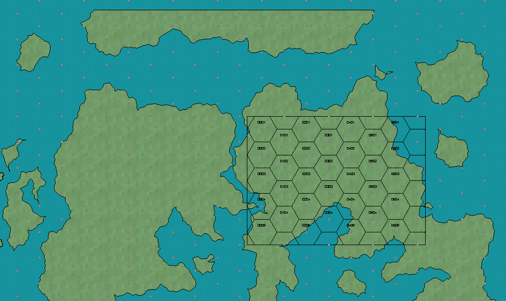
Map clipped here but the top left coord for the map is -4757, 8603, bottom right 11006,-1104.
The grids generates at top left 4903, 5933, bottom right 8383, 3444.
I know I could just try and manually drag and drop a grid using 'select points' but I'm trying to understand why the automatic grid is doing it incorrectly, and ensure all the map's meta data is correct.
Can anyone help? :)
Comments
Looks like you have just drawn outside the map border instead of properly enlarging the map. This can cause some issues with certain tools that tries to operate within bounds.
Fortunately, this is easy to fix. If you hide all layers but MAP BORDER, you should see a set of 4 lines forming a rectangle (usually bright green). This is the actual map border. Simply move these, or erase and redraw them where you need them to be. They are just basic lines, on the MAP BORDER layer and BACKGROUND sheet.
(Feel free to unhide more sheets and layers when moving them, I just told you to hide everything to easily see them. You'll probably want to have most stuff hidden though, to make them a bit easier to manipulate without accidentally moving other stuff. Note also that the MAP BORDER layer is usually frozen, if so, it needs to be thawed before you can manipulate the entities on it)
If the lines are already correctly placed, it can also indicate that you have rogue entities on the MAP BORDER layer, ONLY the four lines forming this outline should be there, other entities will confuse the tools
Also note that for the grid in particular, you can also click on Select point in the dialog to place the grid manually to control exactly where it ends up.
Laughter, ok so the map border had been deleted and there was only some text labels on that layer.
I've redrawn in the map boarder and resized the map and the grid now auto generates as I'd expect.
Thanks for the insight.