Importing Gray scale map into Fractal Terrains 3. It is possible?
 DrakonFG
Newcomer
Hi guys,
I'm new here on the forum, so sorry if I opened the question wrongly.
I have the FT3 for a while already, but I was with little time to ready it tutorials and try it on for real, until now.
Well, I was trying, searching and reading how to importing Gray scale map into Fractal Terrains 3.
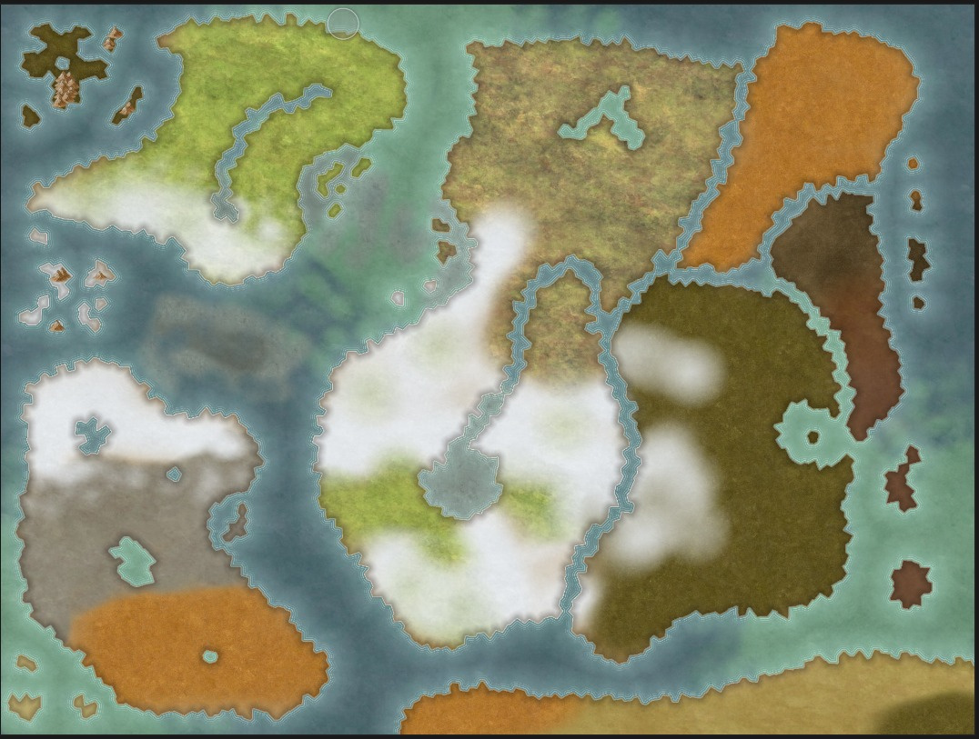
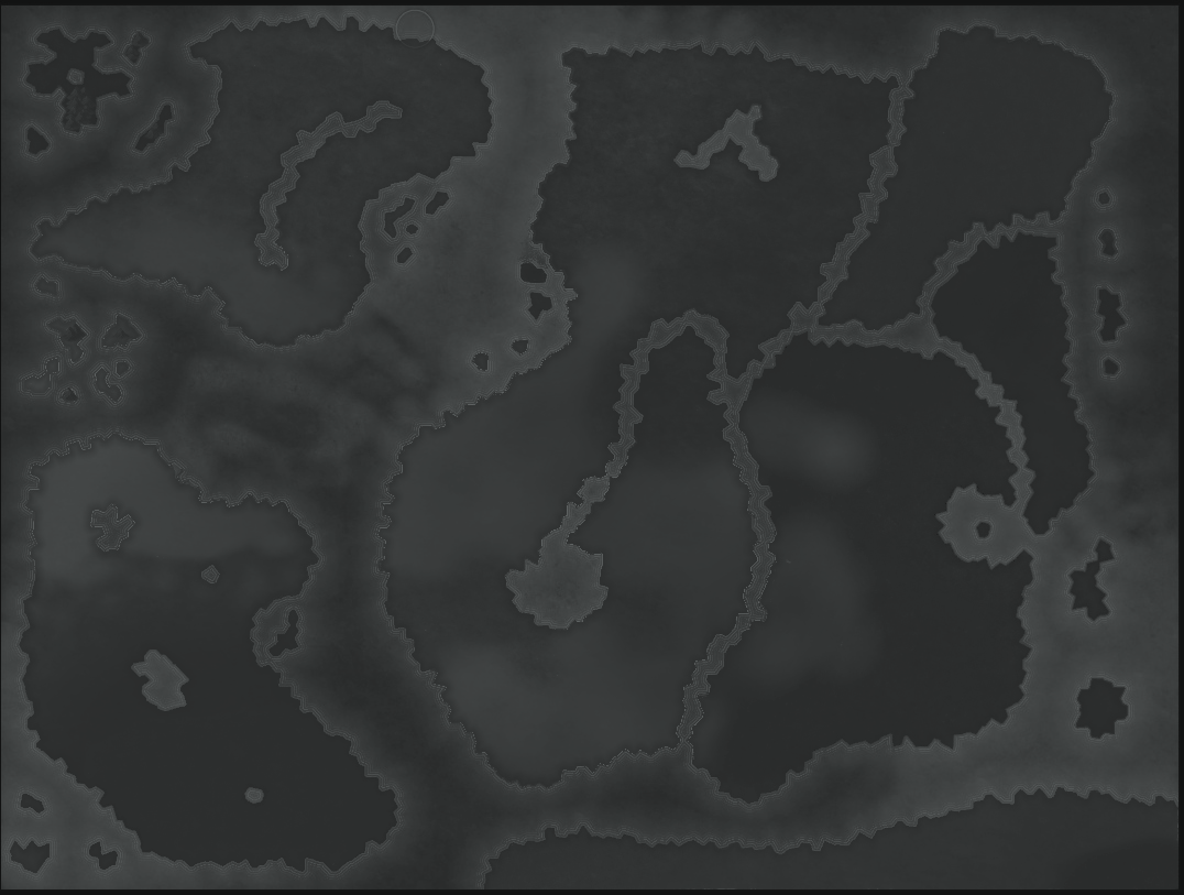
I have the map bellow and wanted to transform it into a planet usint the FT3 to use the others resources of the software. It is possible?
Regards,
F.G., Drakon
Tagged:
Best Answer
-
 DrakonFG
Newcomer
I JUST FOUND THE REASON!!!
My roughness configuration was wrong, fixing it, the altitude was perfect!


Answers
There are a number of different ways to accomplish what you're looking for. You can import the image as an image overlay and paint over it, you can use an external paint program to paint the land as white and the sea as black followed by importing that new image as a selection and filling the land, you can use an external program to generate a landscape and then import that image into FT3, and others.
The first step, though, is to decide on your map projection (how the flat map will fit onto the round globe and where on the globe it will fit). FT3 really wants its inputs in the Equirectangular projection, which has some pretty serious high-latitude distortions.
Ok, I'm a little newbee here... I tried to draw the map using selection, but it created a high altitude border... and when I tried to use the lower land offset, it doesn't went as I like.
I'm struggling with that for two week now.
That is why I'm asking a way to import the image, My results was not equal the original, but was satisfactory. I mean, the shape of the continents. The only issue is the borders.
I JUST FOUND THE REASON!!!
My roughness configuration was wrong, fixing it, the altitude was perfect!