Will trace work best with this ? png import to new map
 JimP
🖼️ 280 images Departed Legend - Rest in Peace
I have a png of a large continent. And a fcw file I have imported it to. I have been using the polygon tool to draw each elevation.
Unfortunately I have sometimes started on one contour, and wound up on a higher elevation contour.
Zooming in doesn't seem to make a difference all of the time.
Is there a way to not have to do this manually ?
Would trace wrk if I got rid of the symbols, grid, and text ? Or do I need to do that ?
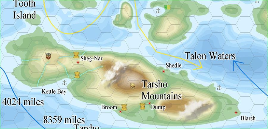
Here are two jpgs; one of the map so far, and one of the original imported file.
and here is a jpg export of the fcw.
Thanks.


Comments
Trace can't handle multiple contours lines like thay, it is designed for a single outline.
I guess you can use an image editor to extract each contour level to their own file, and then trace them individually, but that would be quite a bit of work.
Okay. I'll just continue doing the polygon method mentioned.