

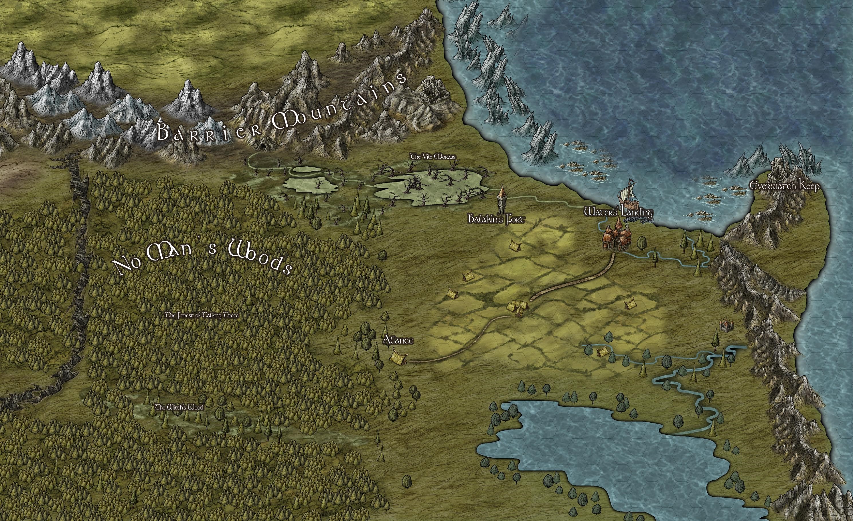
Overland map example
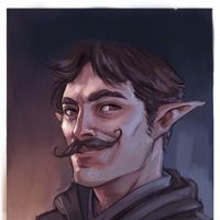 MattyEH
🖼️ 20 images Traveler
MattyEH
🖼️ 20 images Traveler
I am new to the forum and just want to share some work to get some tips and feedback.
This map is a small region where my PCs are currently playing. This was save as a JPG file and the resolution isn't super high, but at least it gives an idea of the area. Any thoughts on the map are appreciated of course.
Seems to be a great community here!


![[Deleted User]](https://secure.gravatar.com/avatar/c75d9a245b74d9c59be0999ea81ca541/?default=https%3A%2F%2Fvanillicon.com%2F92add7f8c954488718110edc4896ad39_200.png&rating=g&size=200)


Comments
Hi Matt :)
Great map.
I think you have got the hang of a lot of things already, however there are some little issues you might want to look at.
You mention that the image here is small...
You can paste an image up to 2MB here on the forum, but if you want to add a larger version you can put anything up to a 5MB version in your personal album on your profile page. If you make jpg images you can upload a pretty large image there.
Great map, so far! And welcome, indeed.
Might I suggest? You can fractalize entities (the lake, the river) to give a more 'realistic' look, if you desire. Use the button for this on the left of screen, but don't overuse ? 2 times should suffice. Alas, I don't have a handy image of the button but it's right beside the dynamite button. Use a little smoothing and voila!
Good work, nonetheless
Cal
Thank you for the feedback. Good eye for detail as well. I should have explained a little more before posting. This is a rectangular sections JPEG saved from a larger map. There is a hex grid that is VERY light, which I have matched up onto a hex grid on Roll20 where my players do their thing. The grid is scaled at 1 hex = 1 mile. I didn't feel the need for a scale under these circumstances, so it was intentionally left out for now.
Good observation on the mountains on the coast. At the time (it was a while ago now) it was intentional to have the overhang, but in retrospect it was a poor decision. But hey, that's the beauty of the software, I can go in and change it!
In regards to the labels, this is a section that is uploaded for my players online, and they can zoom in as they like to read them. You're absolutely right, though. If I was going to zoom this out to a larger scale I'd either be making the font bigger or removing the font on the smaller landmarks altogether.
This sort of feedback is exactly why I signed up the community! Thanks again! You will always find me receptive to feedback as I feel like I am pretty ignorant to some of the tools the program as squirreled away.
I was completely unaware of this feature. I'm going to give this a try. Thank you for that pointer!
You're welcome, Matt :)