1st Infantry Division Maps
 mike robel
🖼️ 15 images Surveyor
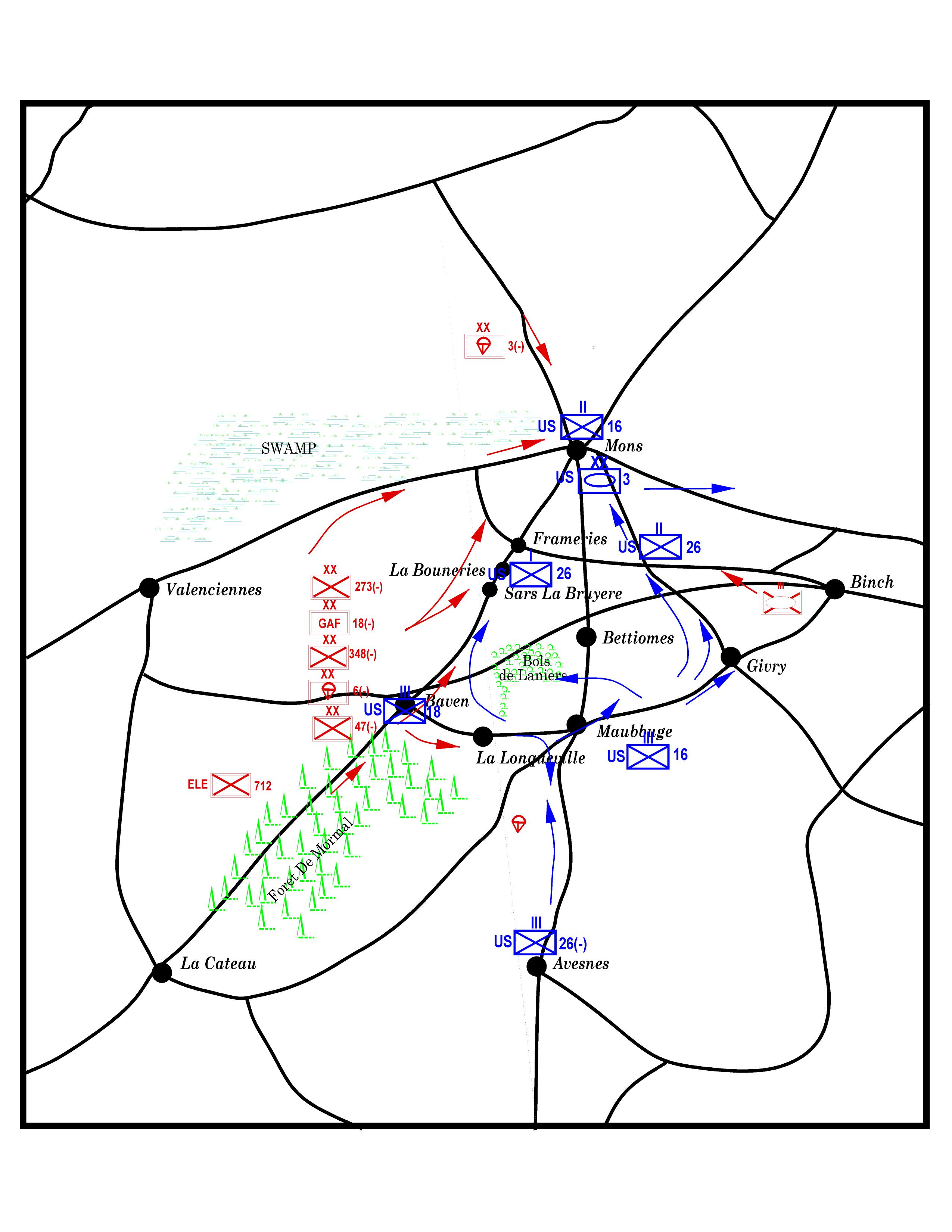
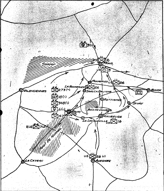
A friend asked me to make 1ID books from maps in the G3 Journal from WWII. If he likes them, he wants me to them. He will need them in black and white, but it is easier to work in color and then convert them.
Anyway, here's the first one pretty much like it was sketched by the guy doing the journal entry. I think it has some errors in it and the symbols can probably be improved. The swamp is a bit light and the lettering might be too small. We shall see what he says.
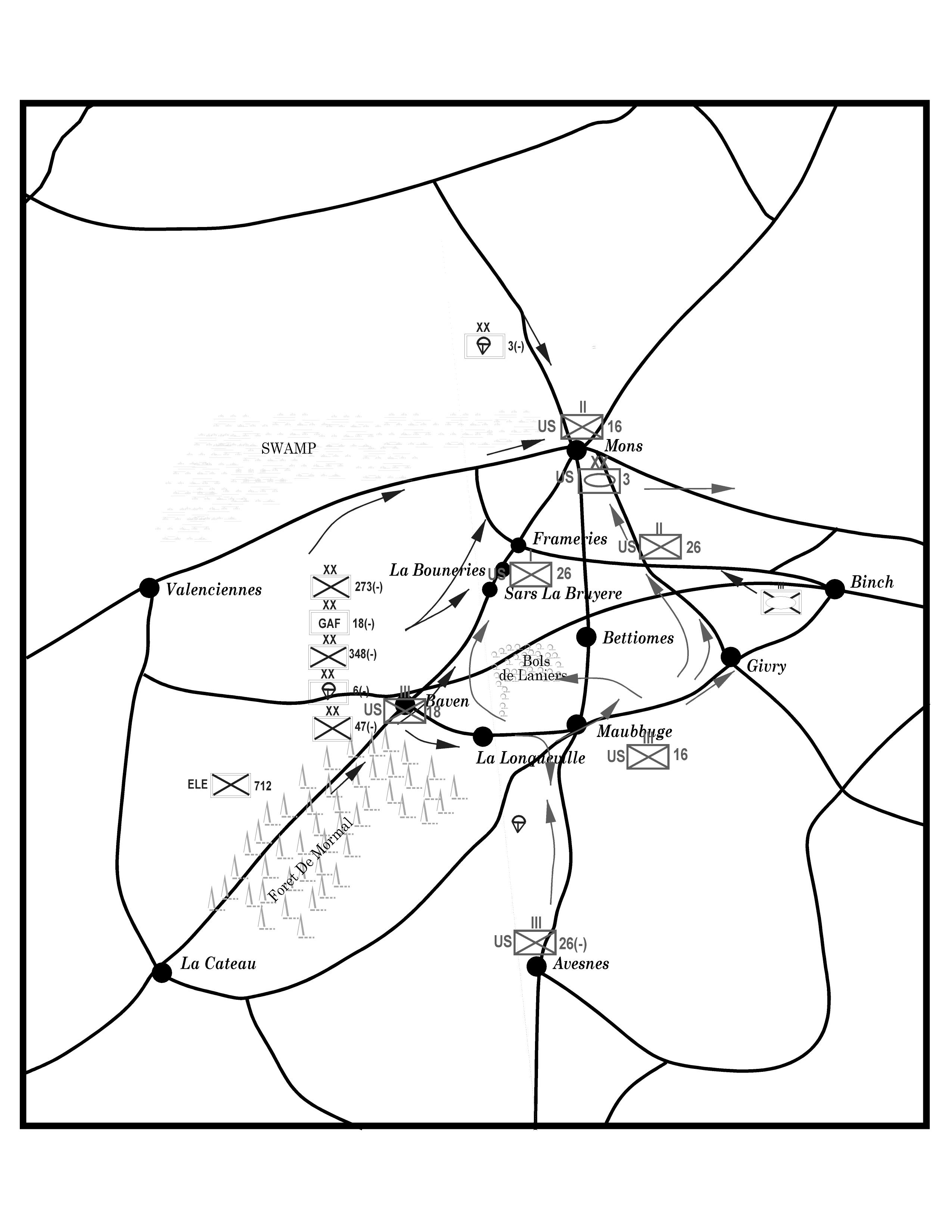
Edit: for some reason the B&W version doesn't display, so it is attached. The original is at the end.


Comments
Couple of points. You seem to have a stray airborne symbol between La Longueville and Avesnes, and I think it's Maubeuge, not Maubbuge.
All the terrain symbols look a bit too faint on the B&W version to me presently, not just the swamp. I think it may be better to work with just the B&W version, if that's what's going to be wanted. I know I've tried conversions from colour to B&W myself before, and that can be more work than you'd expect, unfortunately. This was back when editors were starting to use more colour illustrations in magazines, but still wanted B&W versions of everything too, in case there wasn't room on the limited colour pages. A right royal pain, I can say!
You can see two or three spurious lines in the bottom half. These are hard to kill because they turn up and some magnifications and not others. Even if you kill them, they sometimes come back.
Any idea why they appear and/or how to stop them? Is it related to how much one clicks on a line?
Thanks.
You can try running SIMPLIFY on the lines, that should get rid of very close lines. If your map is in real world units, I would recommend trying a simplification distance of 0.02 or thereabouts based on the scale bar on the map. (If your map is not scaled in real world units you'll need to figure an appropriately small value). I recommend saving before running things like simplify. If it doesn't seem to have an effect, just try with a larger distance, if it messes with the line, undo, and try with a smalle rone.
We kept our maps in plastic cases and then either used grease pencil or alcohol permanent markers on the map case or on a piece of acetate placed inside the map in the appropriate place or taped to the outside. Things changed too much to actually DRAW on the map.