

Still trouble from FT to CC
 mcgrewc
Newcomer
mcgrewc
Newcomer
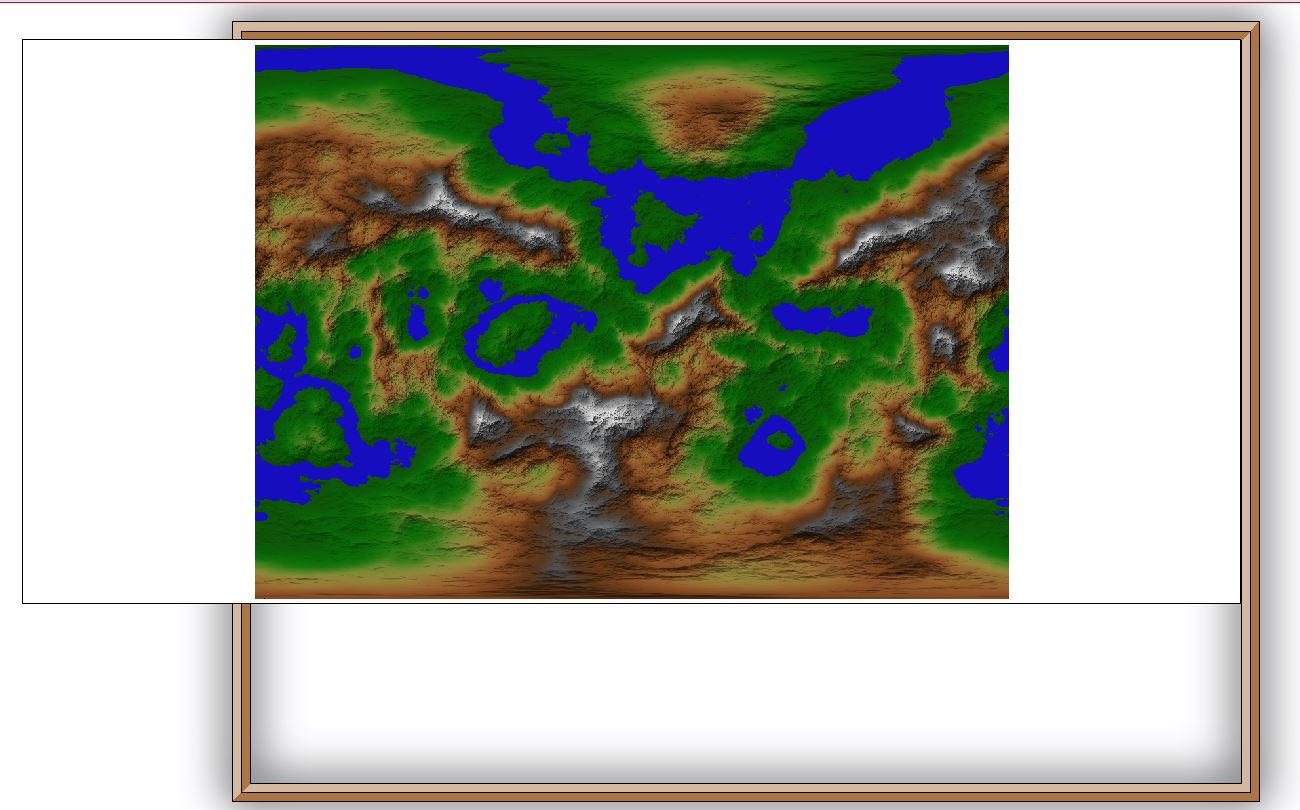
I tried adjusting map size in CC3 but no matter what my FT png ends up looking like this.
 mcgrewc
Newcomer
mcgrewc
Newcomer
Comments
If map border, just delete it. Then save as to different filenames.
What you have posted is a fcw file with an embedded png file, which is on your hard drive.
I got the png from your earlier post and placed it into thefcw file I downloaded form here.
To make the map editable, you have to trace over the png file, it should be on its own layer and sheet, and use it as a guide.
Once you get the map layers and sheets to match your png, you can delete the png.
I think I have a tutorial for this process on my web site, I'll check.