Calibre
Calibre
About
- Username
- Calibre
- Joined
- Visits
- 1,746
- Last Active
- Roles
- Member
- Points
- 1,327
- Rank
- Mapmaker
- Badges
- 10
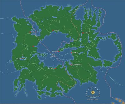
Latest Images
Reactions
-
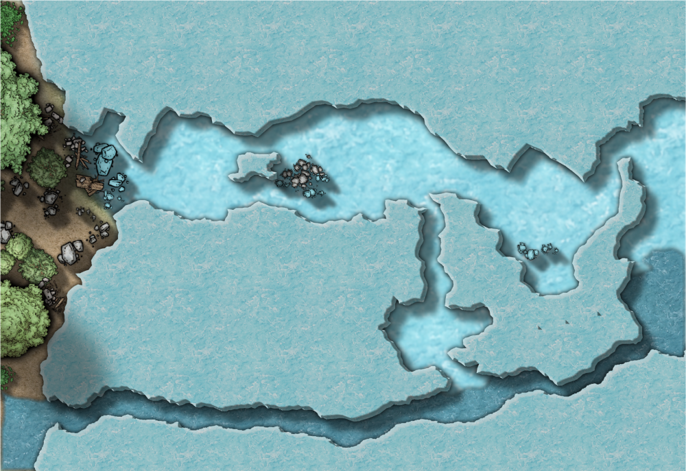
WIP: Local Map Ice Caves Exterior
The scale follows the tome: width/1000 and is automatically set. For Local Maps (which I am calling Area Maps) it says new map width/old map width. There is no old map ?
This is the first problem. The scale of 0.05 (auto set by CC3+ but also equals Remy's formula) is perfect for trees, ridiculous for mountains. Besides, I need to see the entirely of the terrain and placing mountain symbols would obscure too much of the area. So, I am going to have to draw the contour lines. This, then, is my question. How best to do this?
Things I've tried:
1: Draw out each contour area as polygons and each with it's own color.
2: Draw out each contour area as polygons and all of the same color.
3: Draw paths and try to edit the widths of the paths.
Each of the attempts was kinda meh.
What do you guys think?
thanks
Cal
PS: Oh, almost forgot. I saw on the forums a mapper draw and print out a huge map with contours used for military strategy game, I believe. I can't find it and in any case, I don't recall him explaining how he did it heh.


-
WIP: Local Map Ice Caves Exterior
It may be I need to have this thread moved to another category? I'm going to show WIP.
Step 1: Insert the bitmap:

The bitmap is on it's own sheet and layer. I have created sheets: Contour, Contour 2, and Contour 3 in case needed depending on which method I have to use for some of the contours on the actual map.
Next will be symbol scale.
-
WIP: First BattleMap: Ice Caves
Hey all!
I'm working on a map for my FG MERP starting up this Wednesday. It was inspired by the map in the adventure module. I really need some help. I'm going to try and post it correctly along with the FCW.
Please help me out on this. Here is what I'm having issues with:
1: indicating that the outer part of the caves is actually rock, not ice (or frost in this case)
2: frost. Trying to get a better, more obvious 'ice' fill heh.
3: bevel lighting is dull grey...can't seem to fix.
4: water...ugh. Could use some major critique/advise on that.
thankee!
Cal
PS: Oh, suppose I should explain I like drawing outside the border/screen so I don't get wonky effects right at the border/screen. I really just prefer an outlined rectangle for a border---when I can figure out how to do that, that is heh.