

Mike Patterson
Mike Patterson
About
- Username
- Mike Patterson
- Joined
- Visits
- 3,561
- Last Active
- Roles
- Member
- Points
- 587
- Birthday
- May 23, 1967
- Location
- Arkansas, USA
- Real Name
- Mike Patterson
- Rank
- Surveyor
- Badges
- 7
Latest Images
Reactions
-
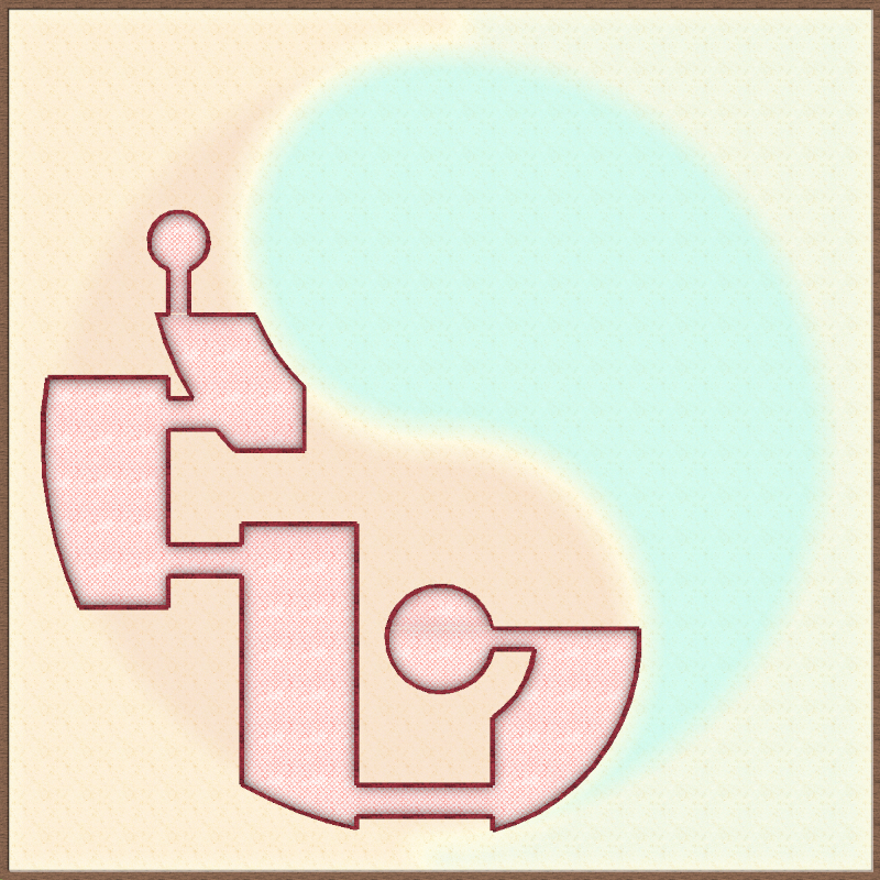
[WIP] Community Atlas Competition: Tân-Rhew
I made a little progress on this over the last couple of days. I've got the "Tân" floor and walls finished, and the colors seem pretty good to me. It's really interesting how much interaction there is between the bitmap fills and the RGB matrix. My eyes don't distinguish fine differences in shade well, but to me the ornate tile fill I used has the right brick red color. Changing to a more solid stone fill made them so dark red they were almost black, and to a lighter natural stone fill made them very pink. Lots of trial and error was involved here :).
I'm debating with myself about the level of subtle vs. in-your-face of the yin-yang aspect of the map. Most subtle would be no RGB on the background at all, relying solely on the shape of the rooms to convey that shape. The most heavy handed presentation would be, of course, to leave the extra background and foreground sheets with the shape actually drawn out (as in the pic below). Maybe the proper course will come clearer to me once I get the rooms drawn for "Rhew."


-
[WIP] Community Atlas Competition: Tân-Rhew

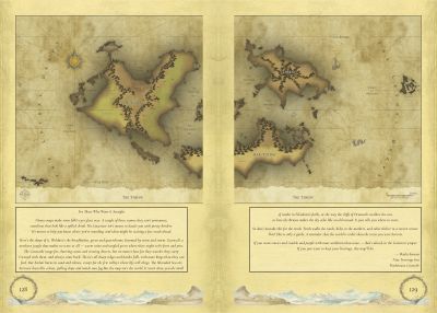
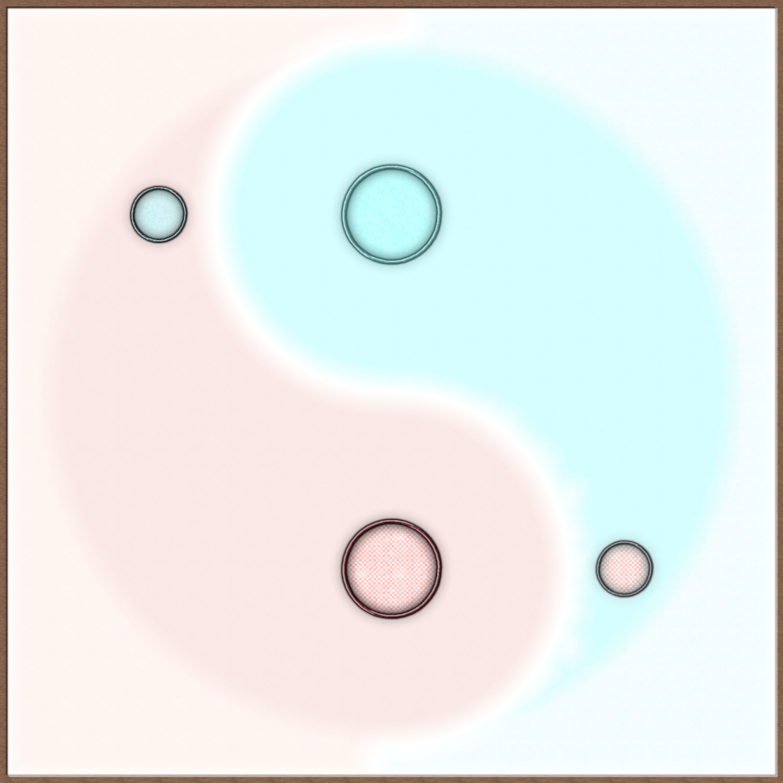
So, my idea for the competition is for a dungeon with both fire and ice. My vision is of an extra-dimensional space with two entrances, one via a portal from an "ice" area and one from an area of "fire." These two spaces are connected, so that a person who knows the way can enter from one place on Nibirum, traverse the extra-dimensional space to the other area, and then exit the space into the other area of Nibirum. I'm likely not explaining it very well...
Here is the core concept map from which I plan to build. I need to find a hot and a cold place on Nibirum - far apart, but for which some reason could be written for them to be connected.
(EDIT) Also, sorry for the large-ish pic. Following ones will be smaller...


-
Question re scale.
Alexandria was about 1.5 x 1.5 miles (5.3 square miles) when the population was around 300,000. I think.
-
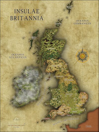
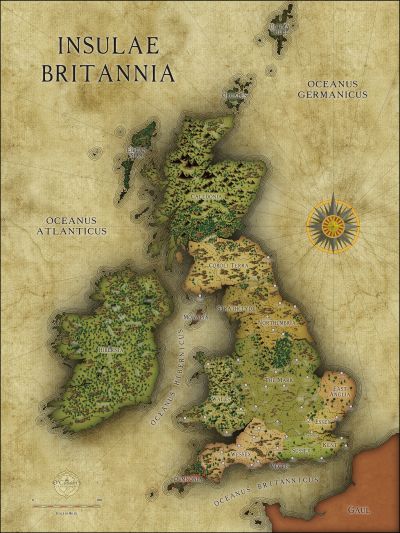
WIP: Irish-themed islands
I like it! I've always favored coloring or shading different political/cultural regions rather than putting lines around them. For me, it's a much clearer presentation.

-
October Community Challenge - City Streets - VOTING POLL in first post
![[Deleted User]](https://secure.gravatar.com/avatar/c75d9a245b74d9c59be0999ea81ca541/?default=https%3A%2F%2Fvanillicon.com%2F92add7f8c954488718110edc4896ad39_200.png&rating=g&size=200)


