


Ricko
Ricko
About
- Username
- Ricko
- Joined
- Visits
- 6,850
- Last Active
- Roles
- Member
- Points
- 10,580
- Birthday
- February 7, 1977
- Location
- merlo san luis argentina
- Rank
- Mapmaker
- Badges
- 22
Latest Images
Reactions
-
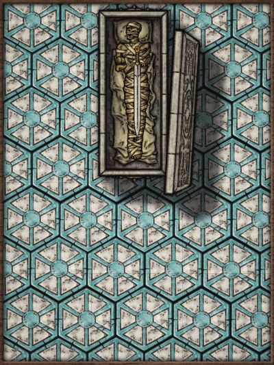
Galery of NPC
A wonderful combination of symbols and creativity.

-
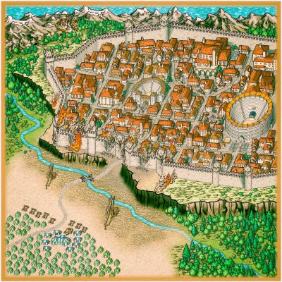
Live Mapping: Villages of Schley *CANCELLED*
I hope you have some coffee left over so you can drink it while you recover :)

-
Community Atlas - Ezrute - Fertile Valley
After postponing, I decided to take this area to bring to life the initial information about this continent, as they have fresh fruits... it's difficult to create this lore in such continent - expanding something that I already started in the Brukon region. The area is 237.5 miles vertical and 250 miles horizontal.
Let's see what comes out...
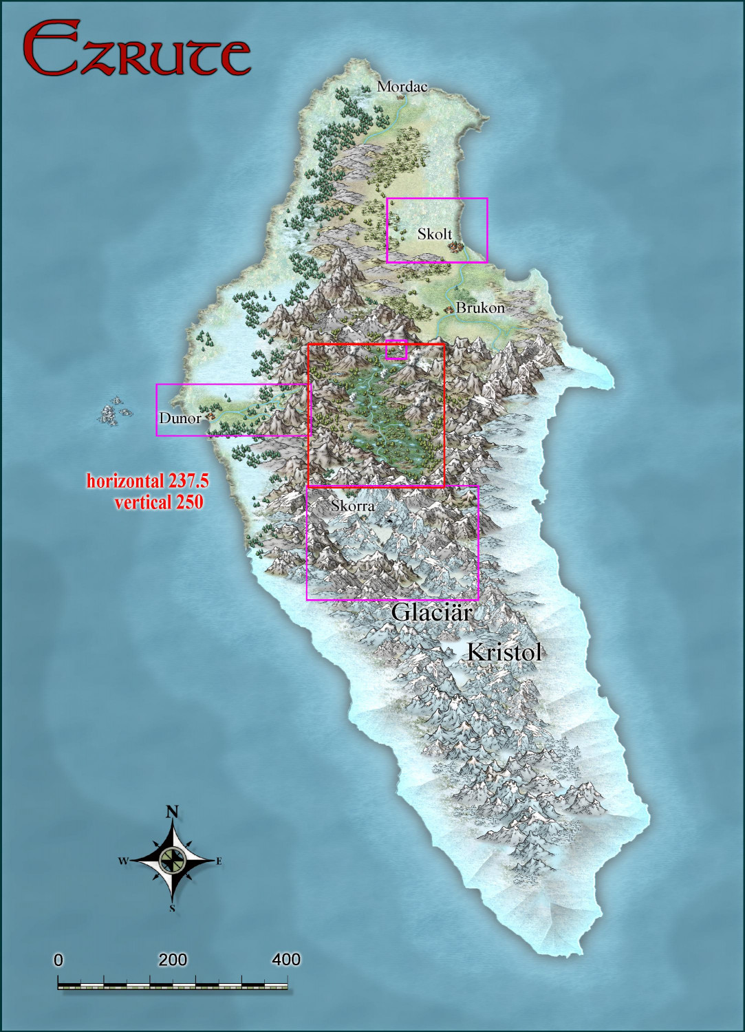
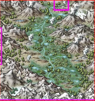
Cheers


-
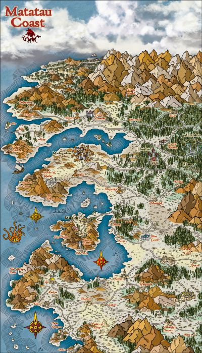
Community Atlas: Kara's Vale, Ethra, Doriant
Usually for Mike Schley I use Sue Richards Darklands cliffs when I need to make a cliff marked mainly in the north direction.
I use a darker default terrain in the lower parts and a lighter-colored default terrain in the upper areas. Here the biggest work is to make the contour with the default terrain on the cliff lines in the north orientation.
Mike Schley's cliffs are very good at diagonals in the overland, and he could well make one with all orientations, just like Sue did.

-
Community Atlas - Berenur - Buchesi Nations - St. Corrun Monastery
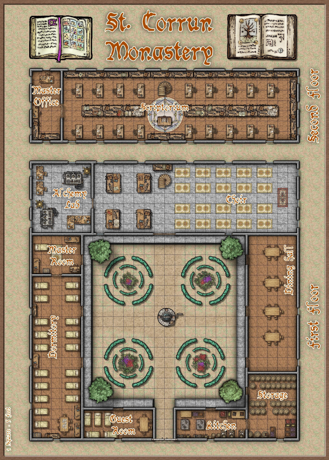
And here is the floor plan, based on Sue's structure image that I used as a reference on the draw above.
In fact, it all started with the structure icon used in the first map, then I thought: I need a landscape and a place for this "monastery", so right after that... I need a map of the monastery... lol
Cheers


