


Quenten
Quenten
About
- Username
- Quenten
- Joined
- Visits
- 8,145
- Last Active
- Roles
- Member
- Points
- 3,110
- Birthday
- November 29, 1950
- Location
- Australia
- Real Name
- Quenten Walker
- Rank
- Mapmaker
- Badges
- 16
Latest Images


Reactions
-
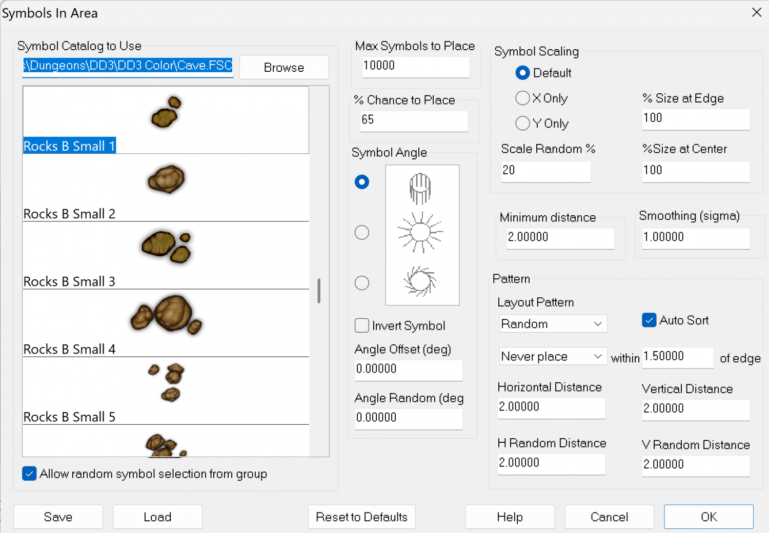
Live Mapping: Handdrawn Fantasy - Bitmap vs Symbol Fills
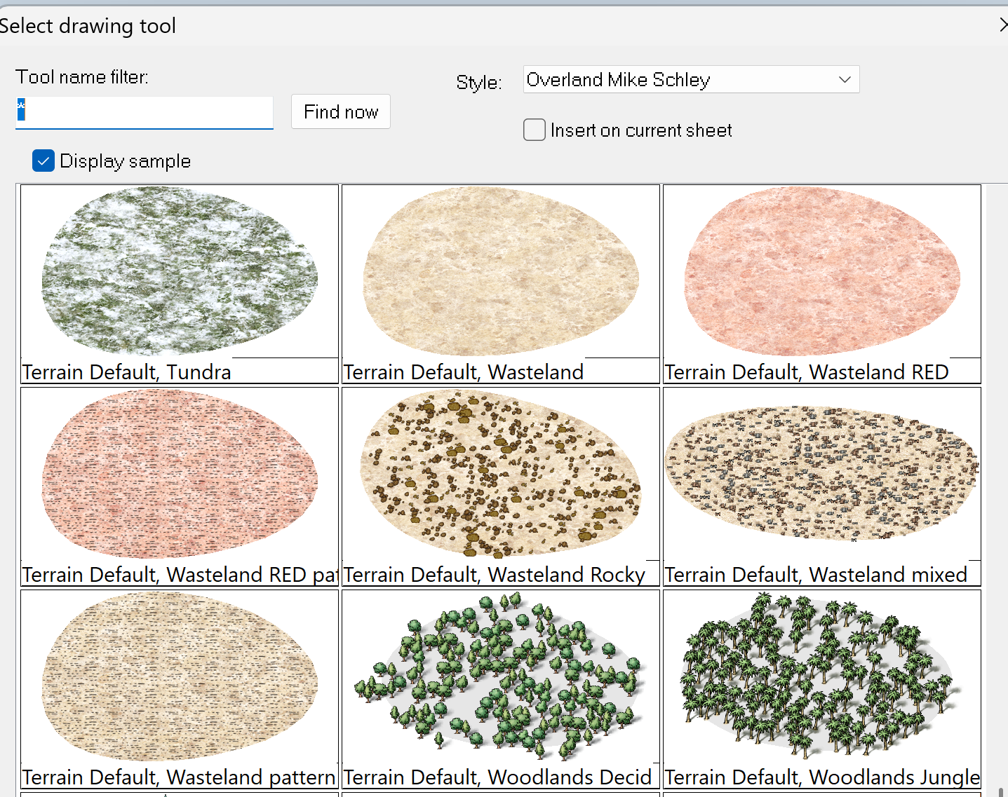
Here are the fills I have made, using the method outlined by Ralf. I have put them in my Mike Schley drawtools.
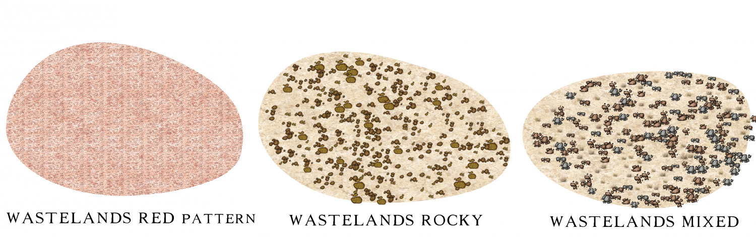
I wanted to create rocky wastelands for smaller regional maps.
Here is the drawtool page, and the examples.
I have also used a pattern to overlay the underlying fill, to create a further distinctive wasteland fill, for use in much larger maps.
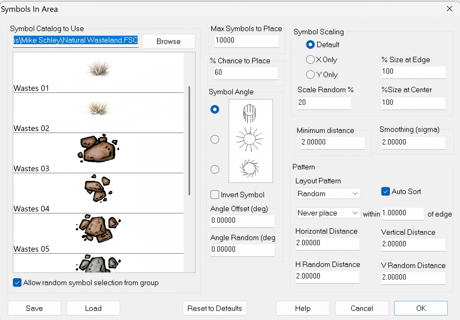
And the symfills I created:


-
WIP: New Dungeon Commission
Fabulous maps. I am inspired to try the same style.

-
Dungeon Level Symbols - Celtic Revival Room by Room
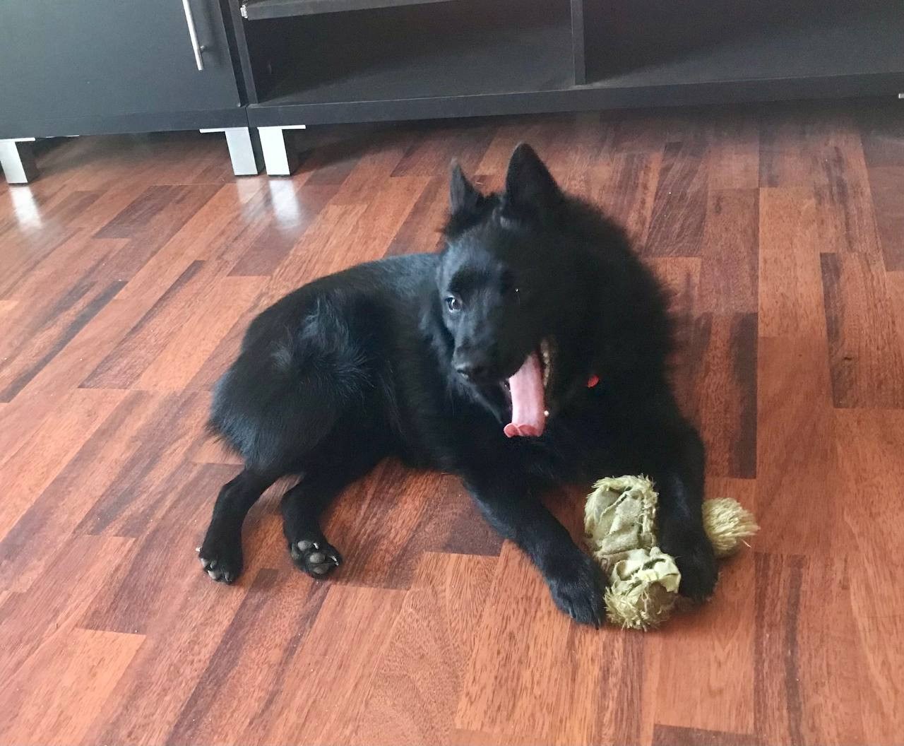
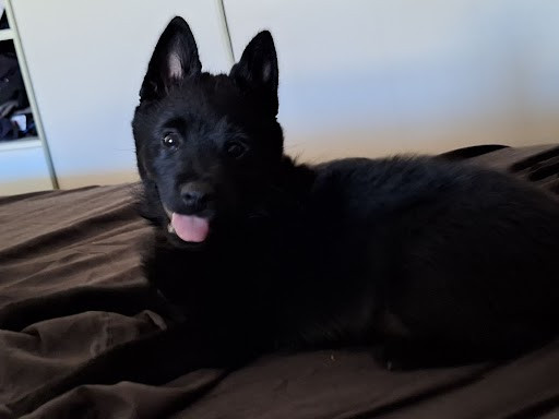
But for reference, here is Ahab, my beloved Schipperke (Belgian barge dog - all black with no tail).


-
Hardin region of Myirandios
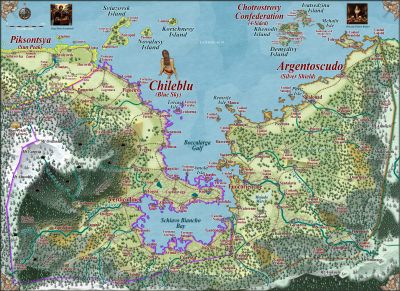
The final map for the Hardin region. An archipelago with Wallori (Australian Aboriginal-type) tribes (the Wombat Tribe) in the north; the centre is occupied by a warlike collection of city-states of the Kwetzatl (Aztec-Maya type) people; and the southern island is occupied by the equally ferocious Ming (Chinese-like) who are at war with themselves and the Kwetzatl to the north - the sound separating them has many sunken warships and trade vessels.
And of course, it is a mixed up version of the Falkland Islands aka Islas Malvinas
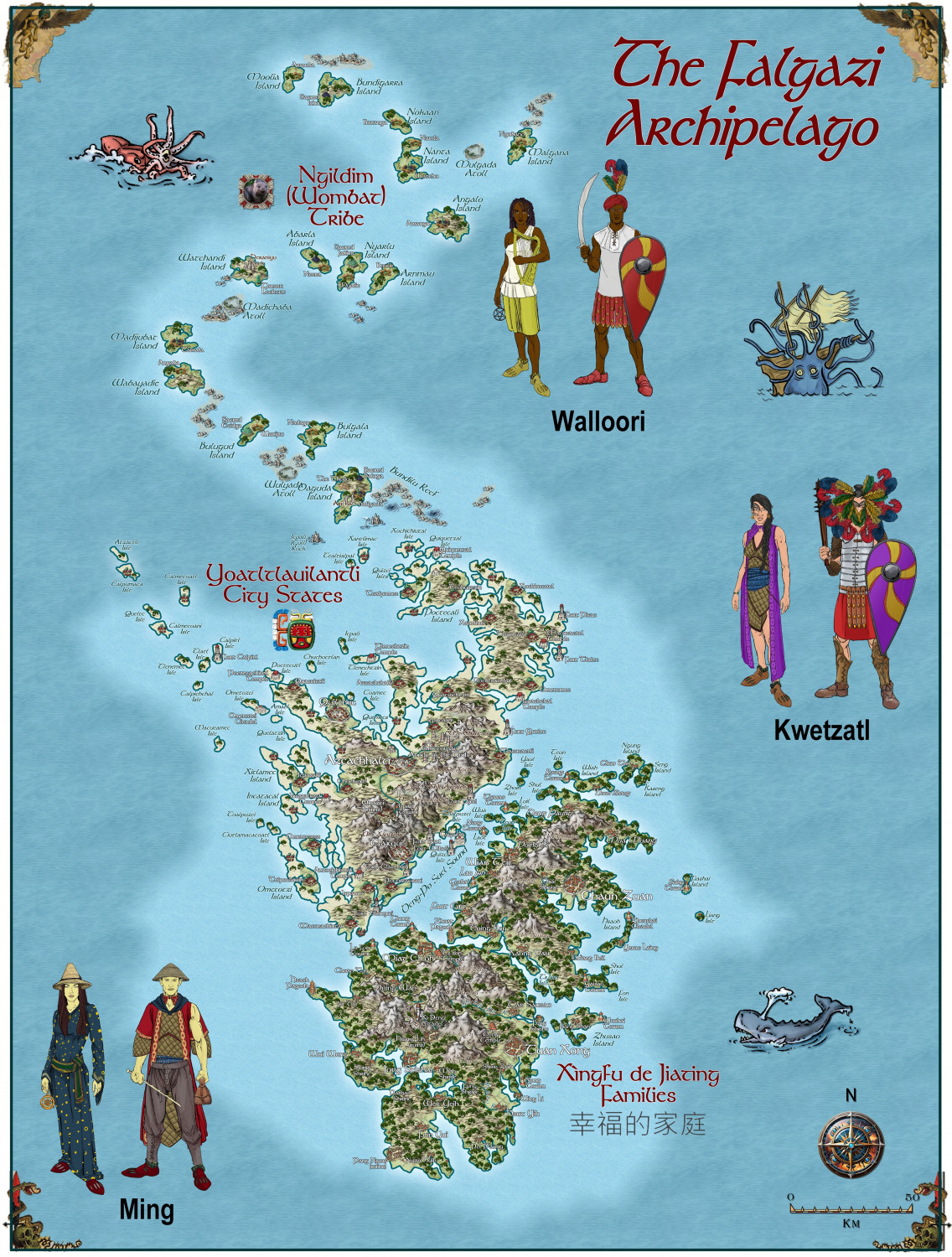
A larger version is in the Gallery:


-
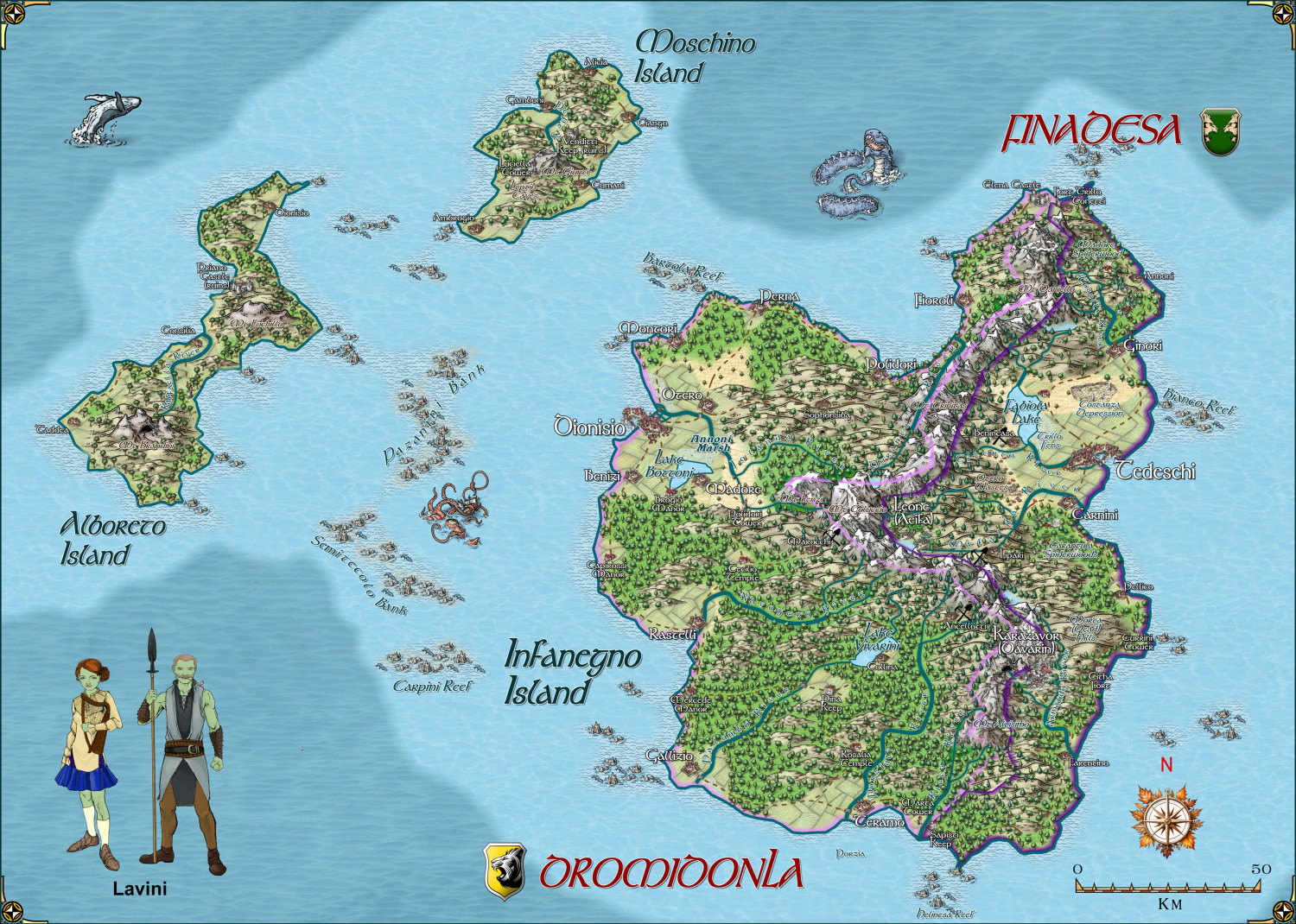
Hardin region of Myirandios
Second last map in the region to be completed - the Lavini (Italian-like) nations of Finedesa and Dromidonla. Needless to say, the outlying islands are run by the 'benign' La Familia (aka the Mafia).
Larger version in the gallery.
