Ricko
Ricko
About
- Username
- Ricko
- Joined
- Visits
- 6,851
- Last Active
- Roles
- Member
- Points
- 10,580
- Birthday
- February 7, 1977
- Location
- merlo san luis argentina
- Rank
- Mapmaker
- Badges
- 22
Latest Images
Reactions
-
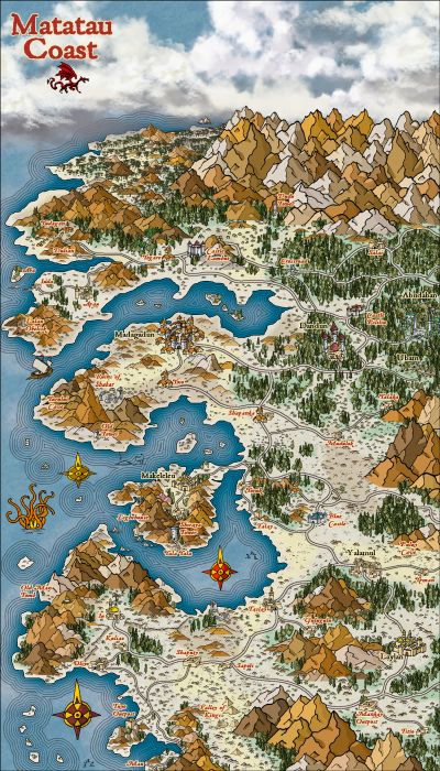
Community Atlas - Arthenn / Berenur
-
Community Atlas - Arthenn / Berenur
-
Community Atlas - Arthenn / Berenur
-
Community Atlas - Fonlorn Archipelago - Bleakness - Death Forest.
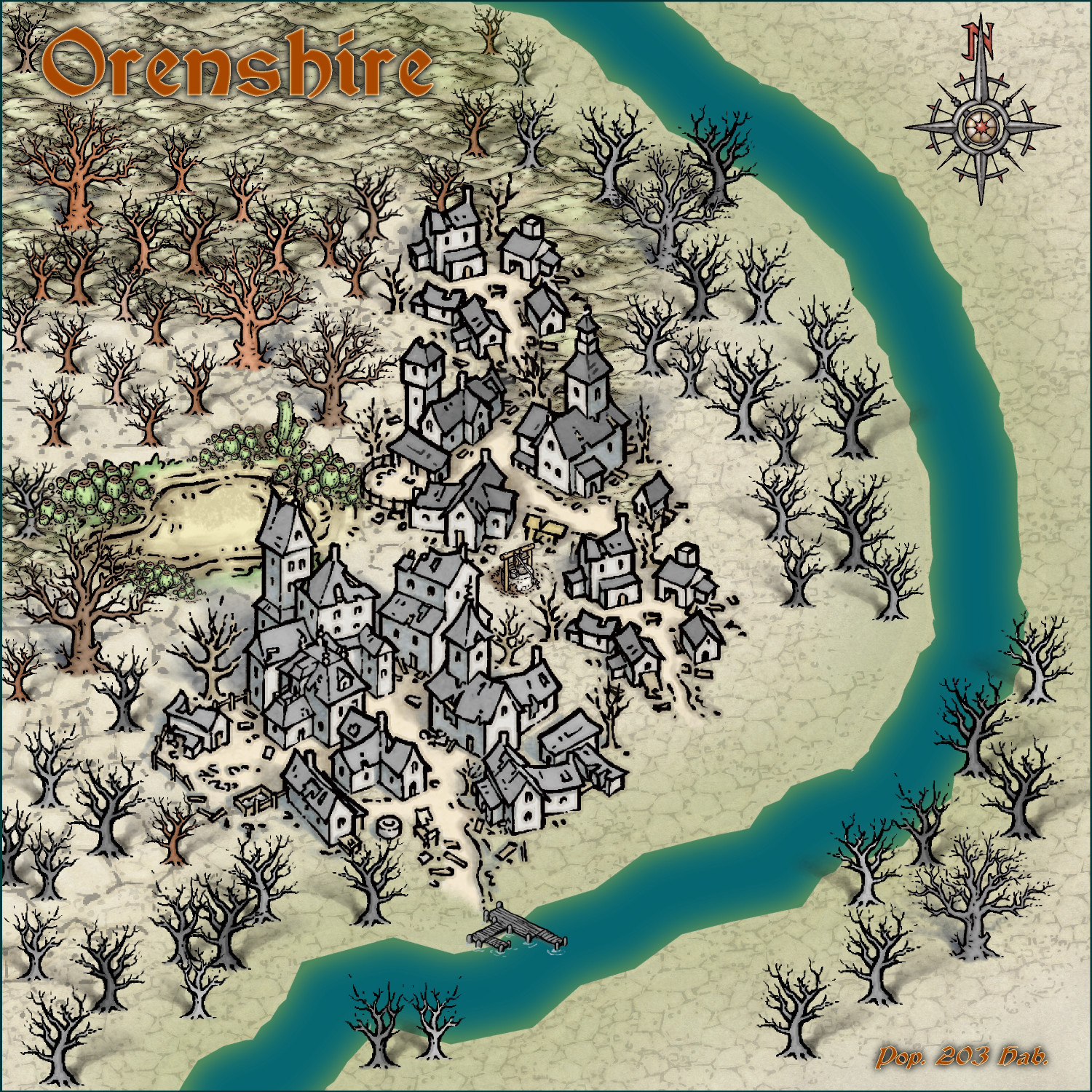
Orenshire
This was once a bustling village, where kilns burned restlessly, shaping soft clay into sturdy tiles and exquisite pottery. The clay, mined from local quarries, was renowned for its reddish hue and malleable texture, making the town a small but thriving crafts centre. Small boats glided down the Slimy River, laden with goods that were bound for Ironvale before heading north for markets.
Then came the catastrophe. The tremors opened deep crevasses, sucking up the groundwater and leaving the land parched and barren. The river became a rotting watercourse, its black, oily waters swallowing the boats that once carried the town’s livelihood. Disease spread like wildfire, claiming lives in despair. Many fled, but those who stayed… changed. Today, just over two hundred souls inhabit this place, dragging themselves through indistinct days, trapped in a fog of resignation. Their eyes wander unfocused, their mouths murmur incoherent words, as if trying to remember something that has faded with time.
Behind the town, the forest remains like a ghost. Its dry orange trunks seem to ignite in the cold light, and from them emanates a sweet smell, almost hypnotic, but charged with something wrong. Invisible spores float through the air, sticking to skin, infiltrating tired lungs. Some claim to feel something crawling inside them after a walk along the edge of the dry forest. Others wake from restless dreams with the feeling that the forest is calling their name.


-
John Roberts Village by night


-
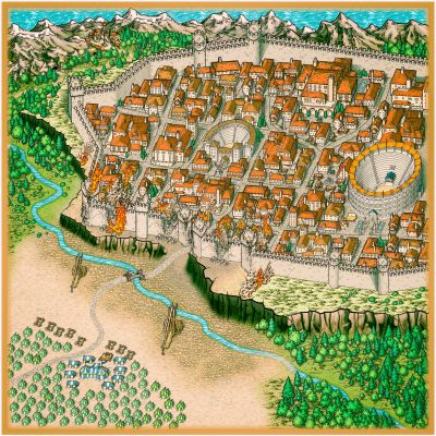
Community Atlas - Berenur - Buchesi Nations - St. Corrun Monastery
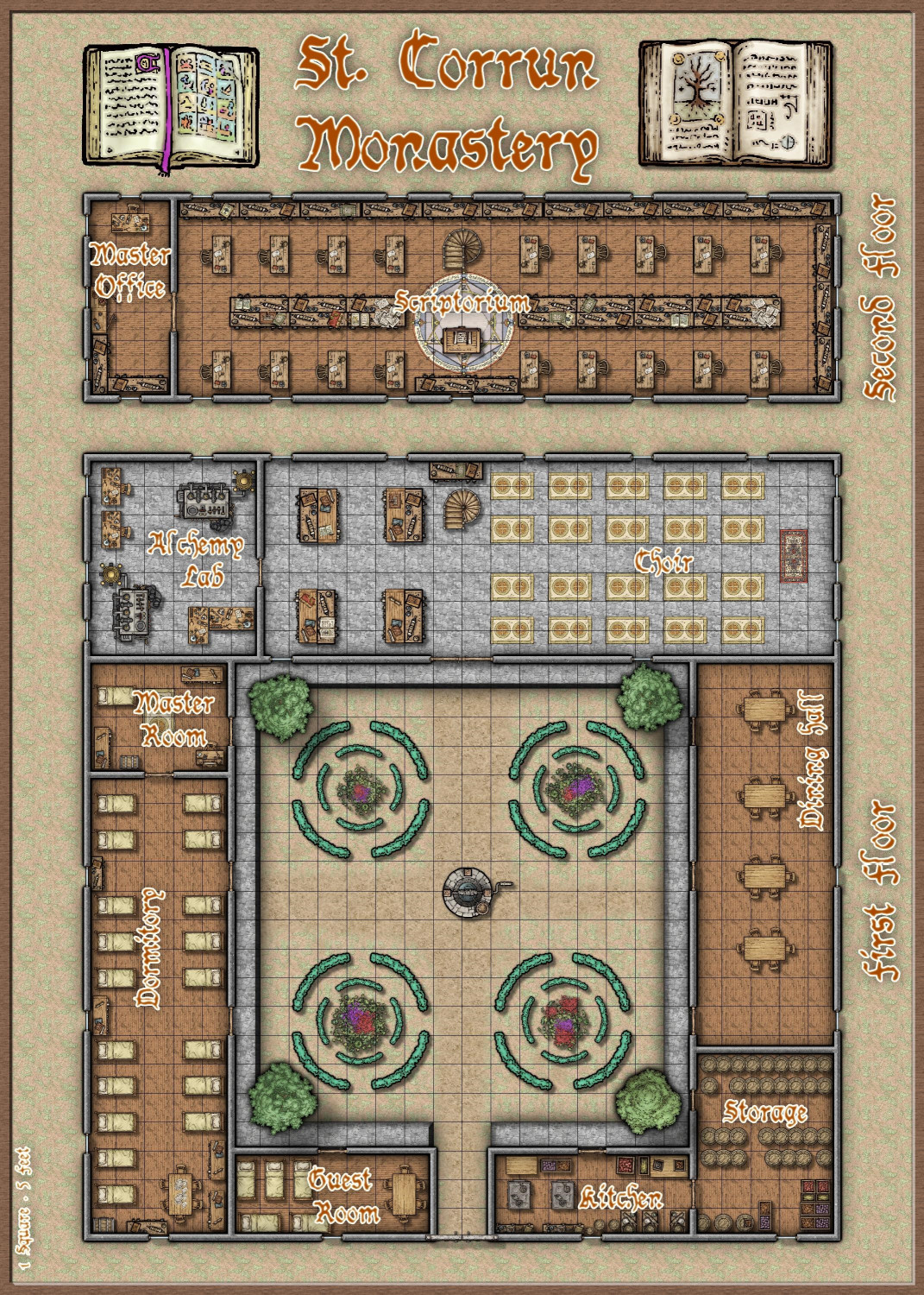
And here is the floor plan, based on Sue's structure image that I used as a reference on the draw above.
In fact, it all started with the structure icon used in the first map, then I thought: I need a landscape and a place for this "monastery", so right after that... I need a map of the monastery... lol
Cheers


-
John Roberts Village by night
-
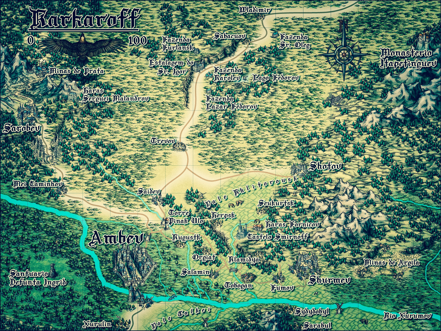
Karkaroff region
![[Deleted User]](https://secure.gravatar.com/avatar/c75d9a245b74d9c59be0999ea81ca541/?default=https%3A%2F%2Fvanillicon.com%2F92add7f8c954488718110edc4896ad39_200.png&rating=g&size=200)

-
Karkaroff region

-
Herwin Wielink Series