Quenten
Quenten
About
- Username
- Quenten
- Joined
- Visits
- 8,145
- Last Active
- Roles
- Member
- Points
- 3,110
- Birthday
- November 29, 1950
- Location
- Australia
- Real Name
- Quenten Walker
- Rank
- Mapmaker
- Badges
- 16
Latest Images


Reactions
-
Ukadarlia
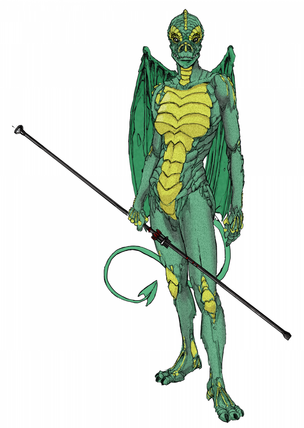
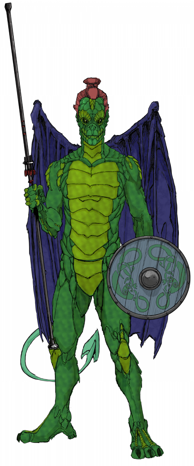
The two Drakona - these are derived from a completely different evolutionary path from humans-elves-orcs; and so cannot interbreed with them. Their wings allow them to glide more than actually fly, as they are almost a vestigial organ, and serve as sexual display, rather than functional. I would have liked to make them more iridescent, but CC3 doesn't have iridescent sheens - are there sheet effects that would allow this?


-
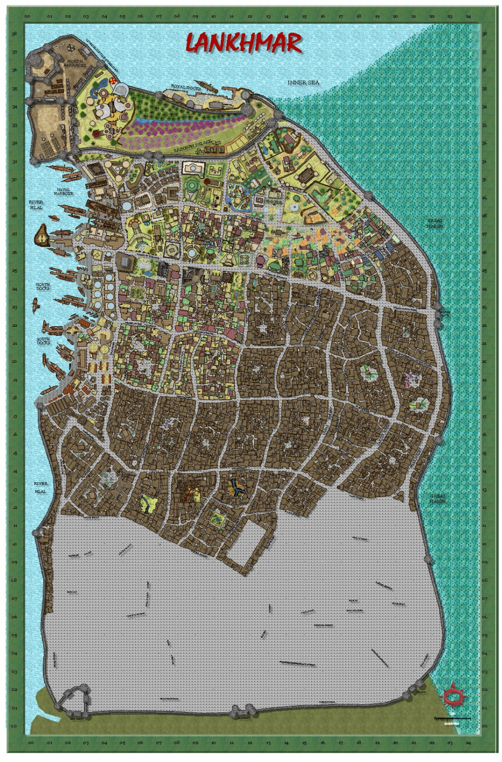
My version of Lankhmar
Today's effort.


-
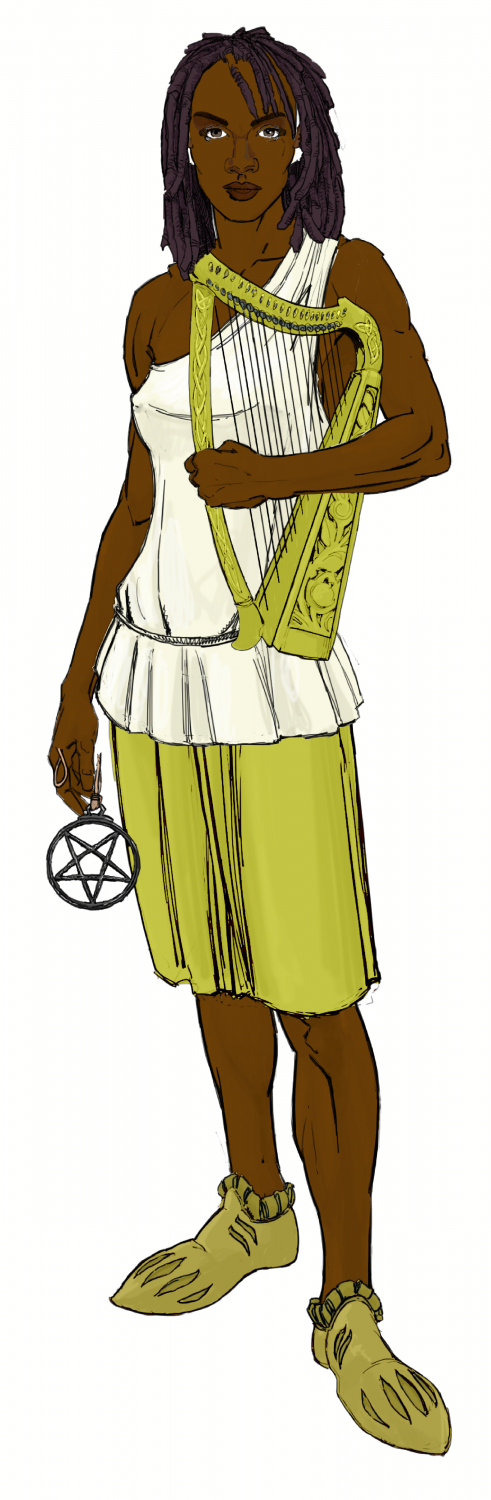
Ukadarlia
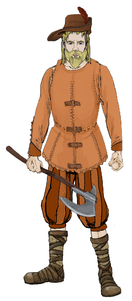
The Vynlings - a Nordic-like people.


-
My version of Lankhmar
Today's progress.

-
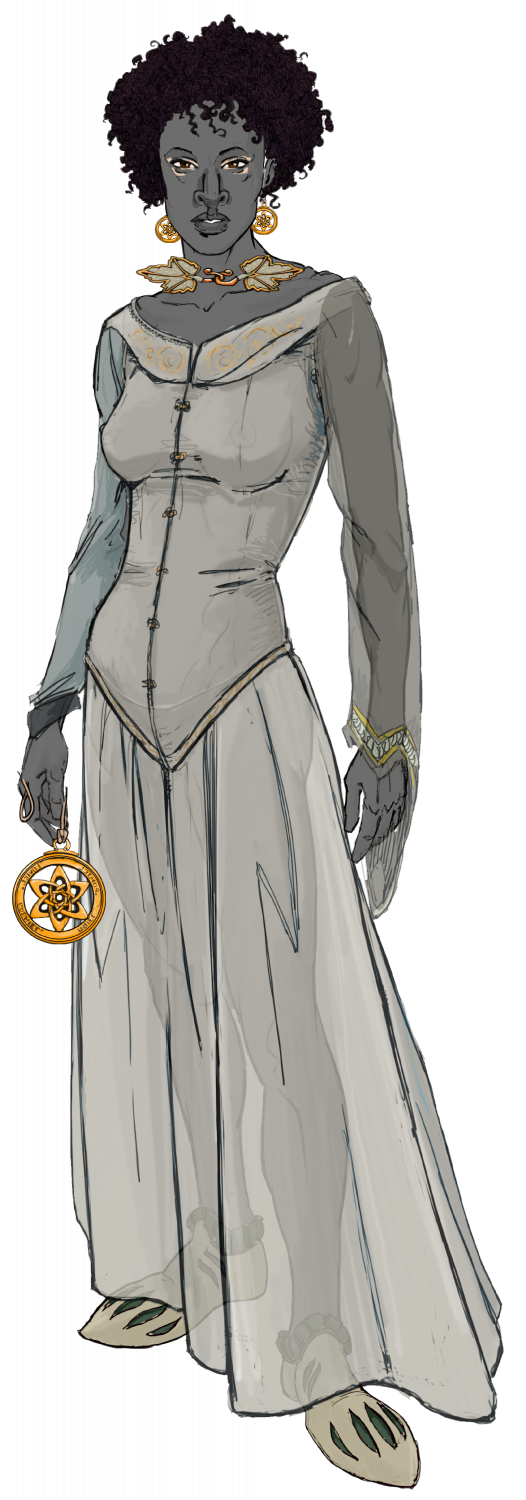
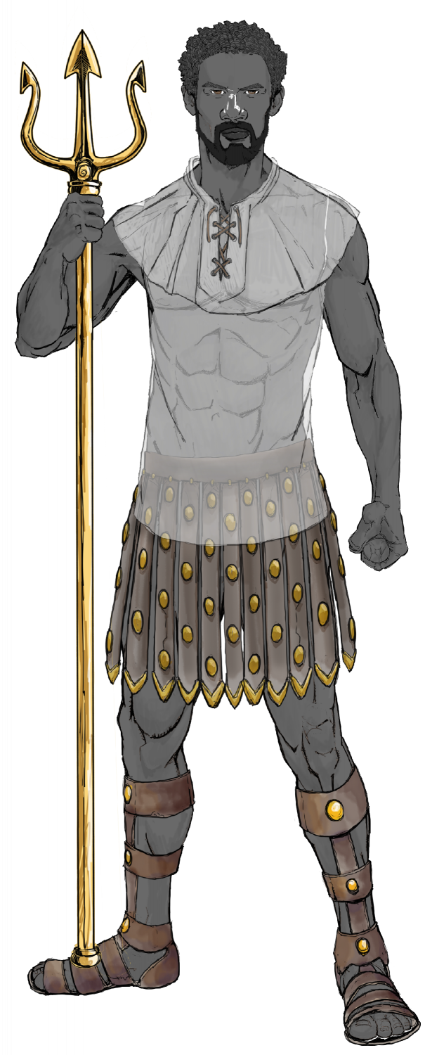
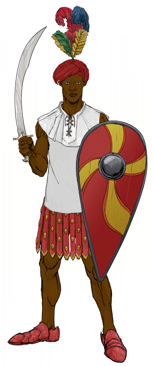
Ukadarlia
The male and female Swabentu - a South Sudanese- Masai -like people.
-
Ukadarlia
The Dinadao - a brown-skinned race, mainly living in the tropics.
-
Terror Australis
I have used the map of the world shown in the Annual 92 (Real World Vector Data), which is the subject of the upcoming Live Mapping session. I have translated it into the Mike Schley style.
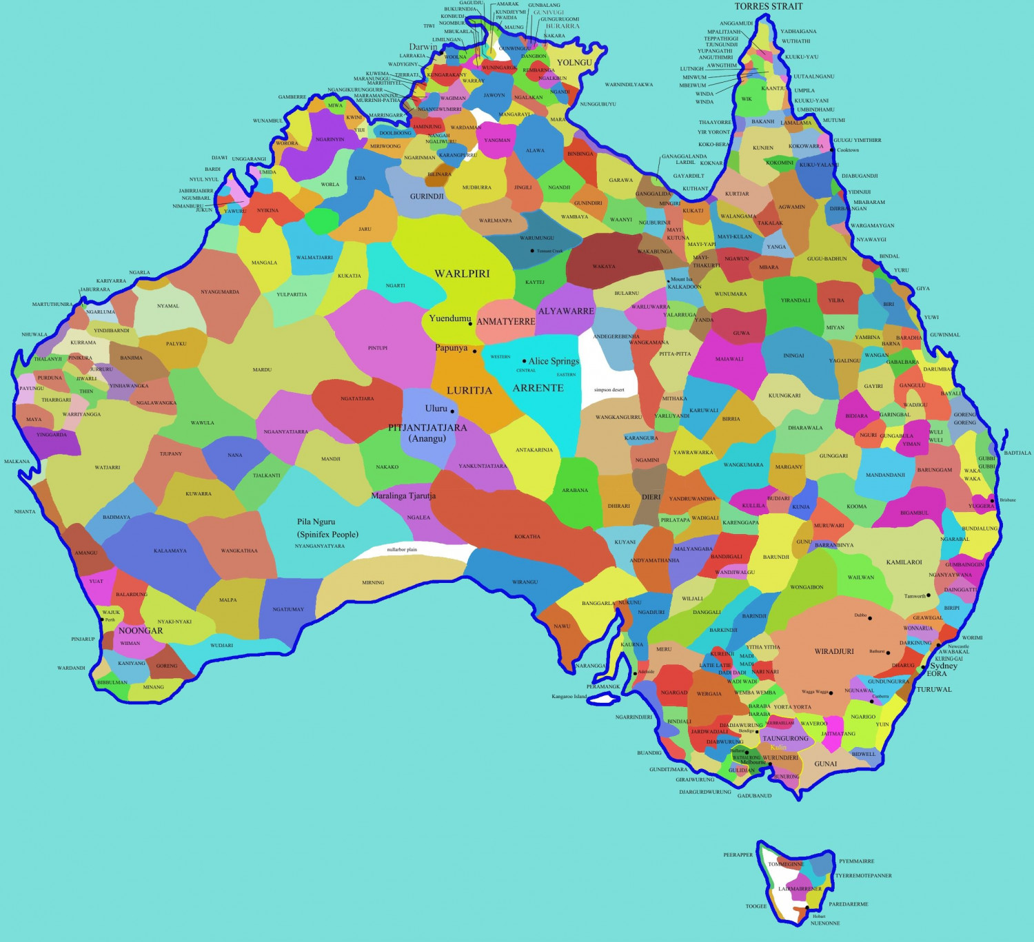
A setting for a Fantasy land, with all the aboriginal nations as the actual national boundaries?
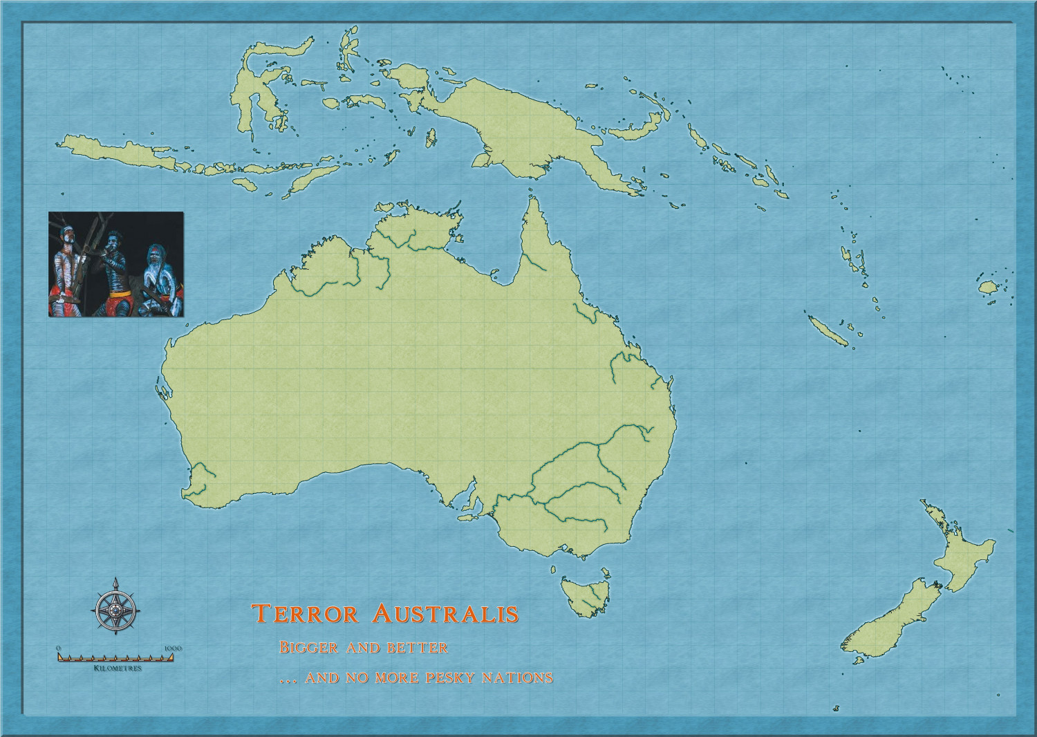
After Ralf's session, I might see if I can get a map of the area with more detail.
Still, it is fun.

-
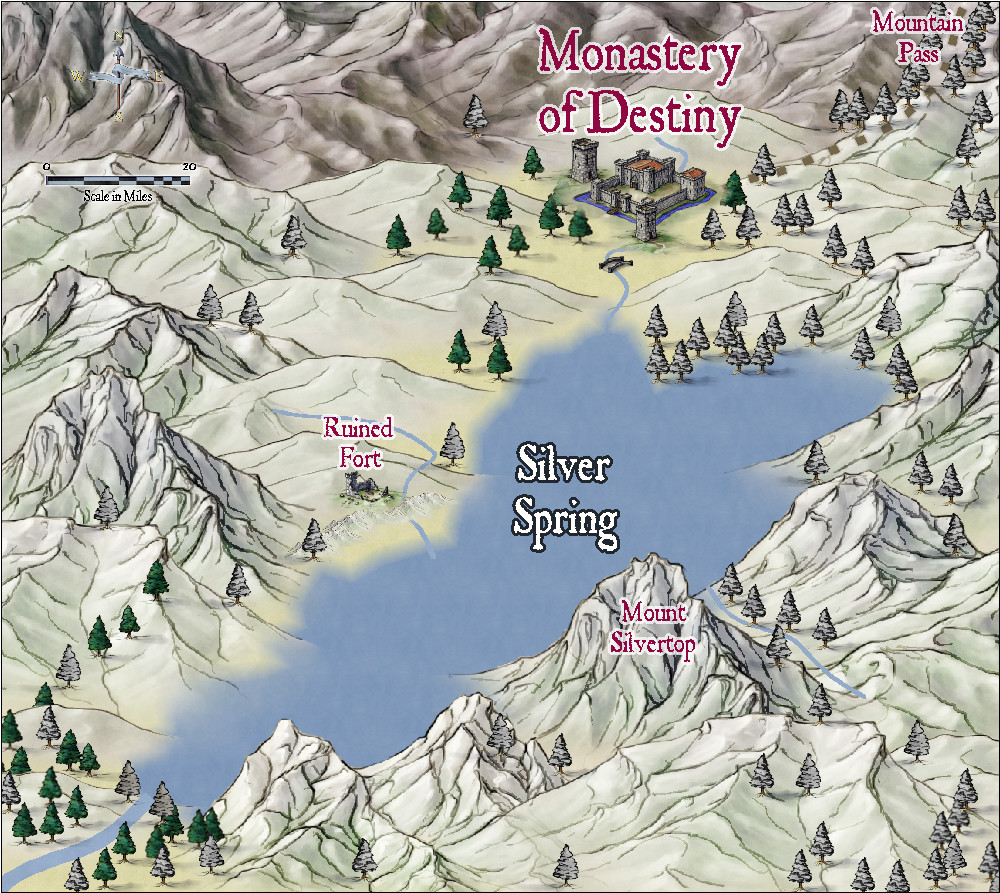
Community Atlas - Alarius - North Central Region - Silver Spring - battlemap
Here is a regional map, using Jon Roberts Revised, to contain the battlemap above which i am still working on. Who knows, i might do the monastery too.
-
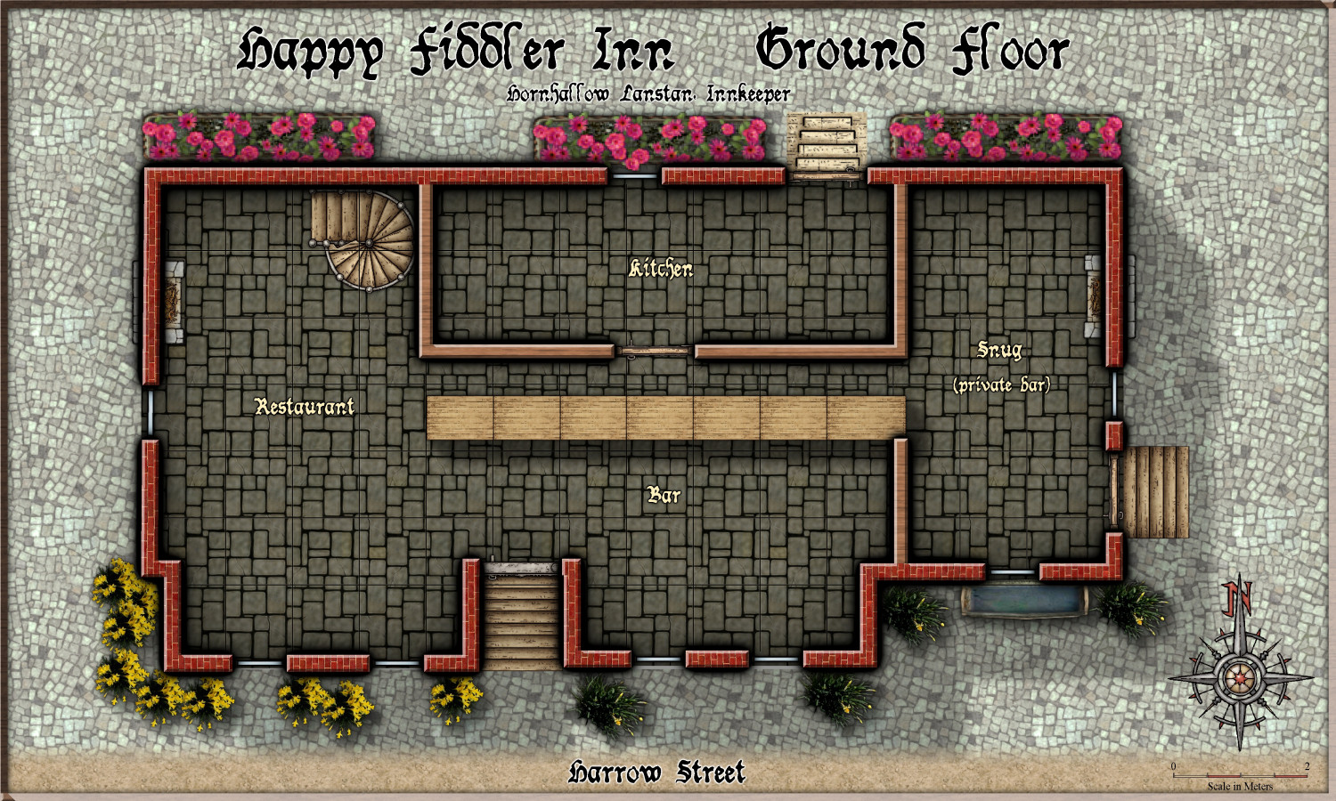
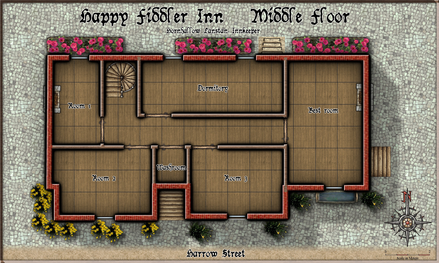
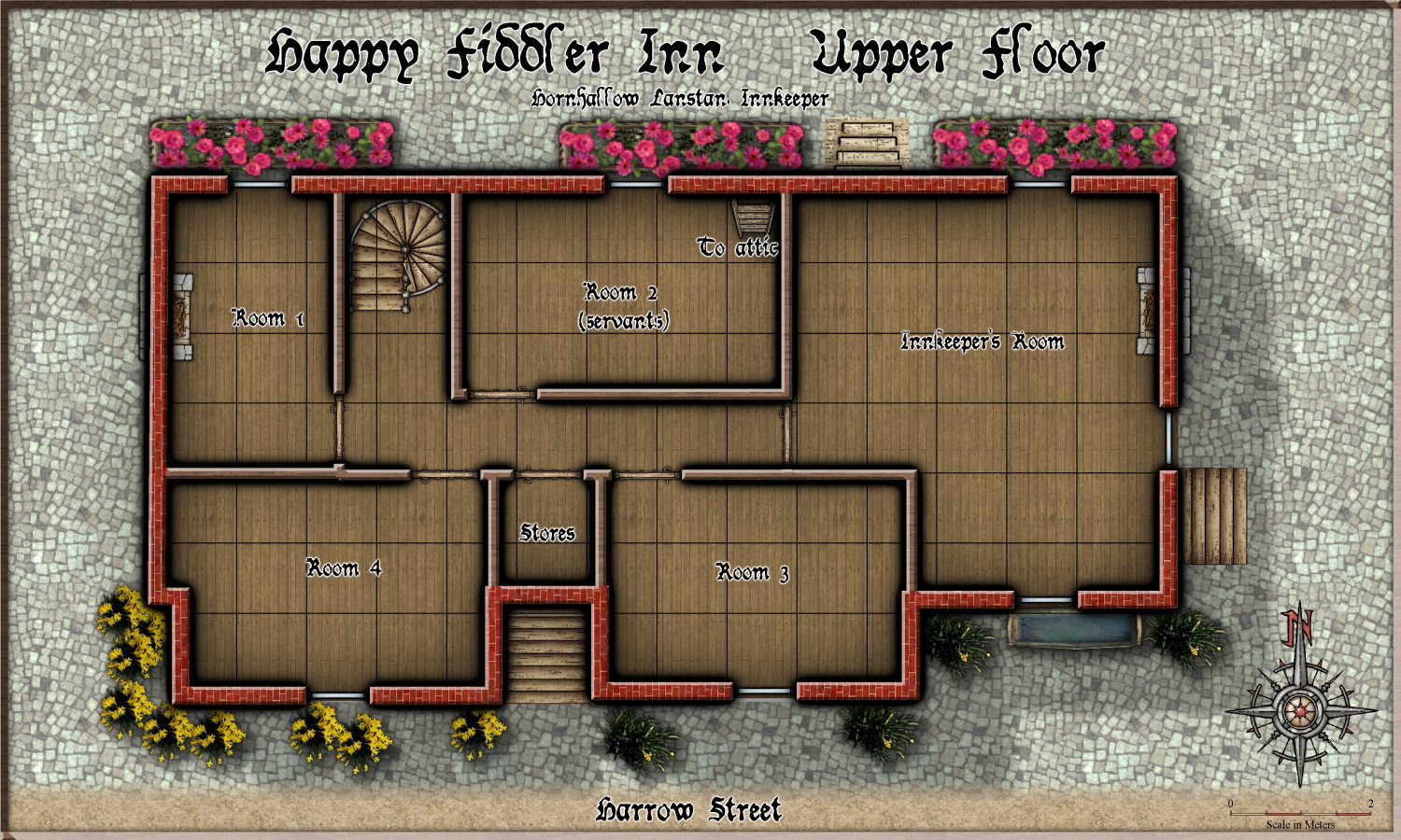
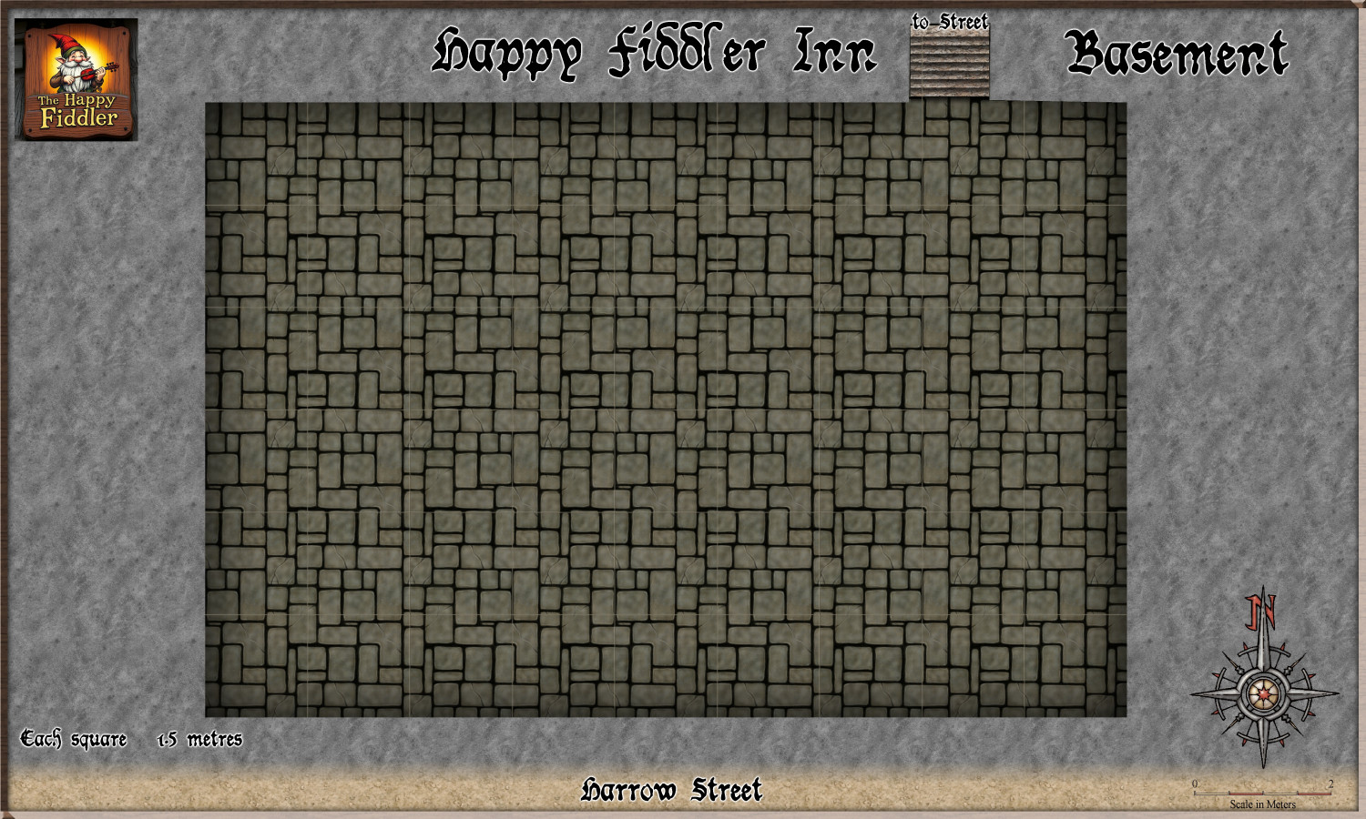
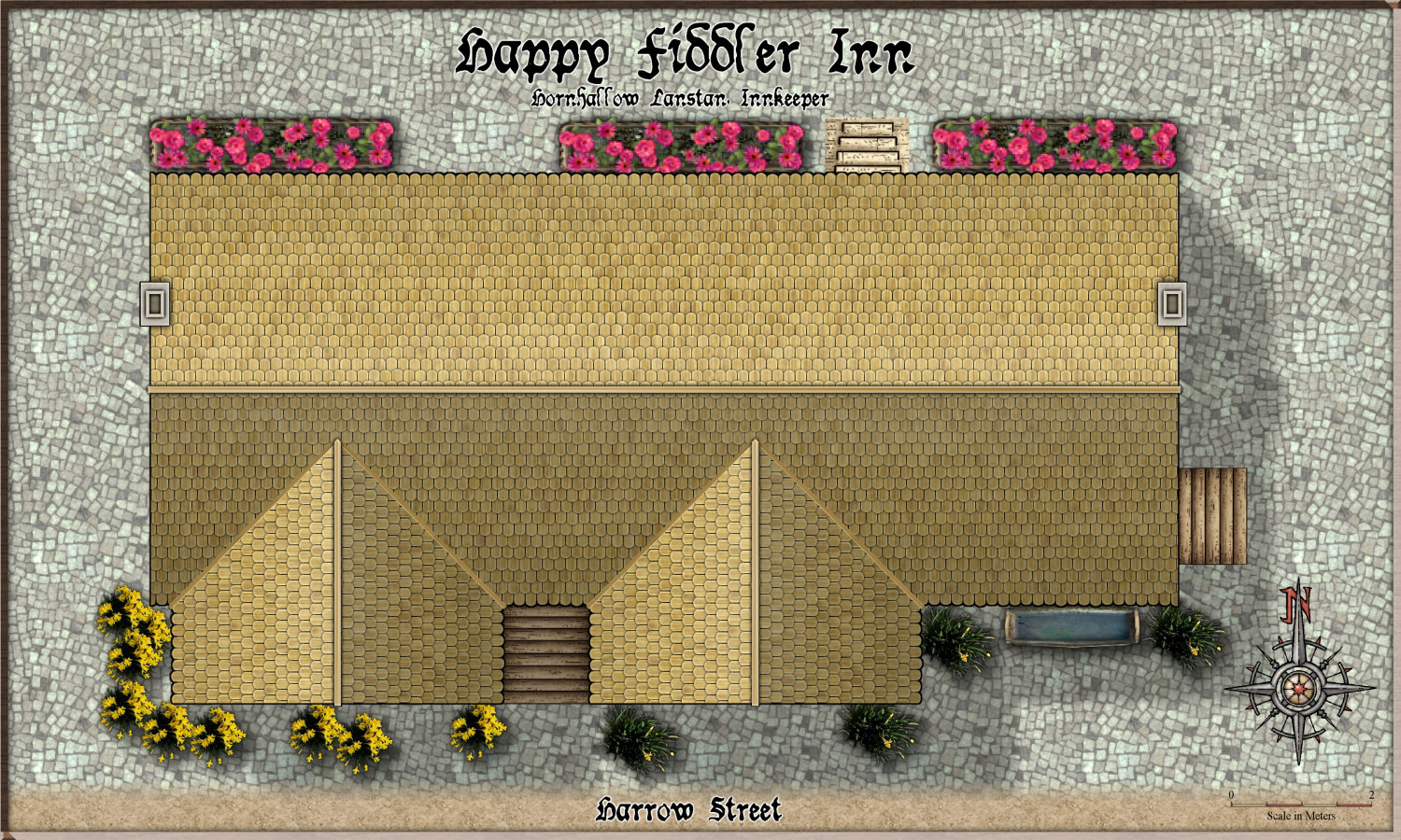
Community Atlas - Torstan Holy District - Happy Fiddler's Inn - a joint collaboration.
Here is the next joint building collaboration with @Ricko . The Happy Fiddler Inn.
Here it is in the context of its surrounds.
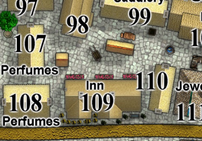
So, now for the outlined floor plans, which Ricko will fill in, room by room.
-
MY MUNDI IS READY!
An amazing job. I use symbols in area a lot, to prevent this - here are my sparse, medium and dense forests using Darklands trees as requested by my client - I wonder if you could have done the same?