Loopysue
Loopysue
About
- Username
- Loopysue
- Joined
- Visits
- 9,969
- Last Active
- Roles
- Member, ProFantasy
- Points
- 9,853
- Birthday
- June 29, 1966
- Location
- Dorset, England, UK
- Real Name
- Sue Daniel (aka 'Mouse')
- Rank
- Cartographer
- Badges
- 27
Latest Images


-
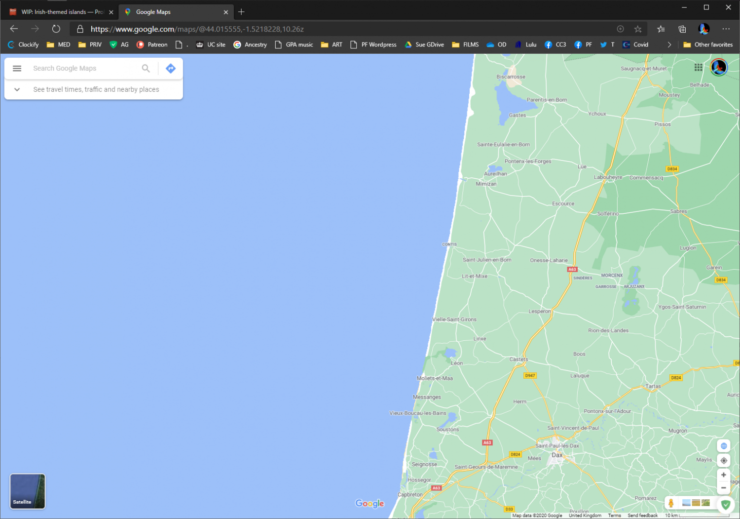
WIP: Irish-themed islands
I didn't notice the straightness either. And if you think they don't exist, think again. This is almost the entire west coast of France - a relatively long section of coast.


-
October challenge: City Street submission WIP
That's looking really good already :)

-
CA161 Hedgerow vc missing black lines?
It does seem to be the case.
I don't think anything can be done straight away, but I might be wrong. Ralf is the one who would have to decide whether to do it now or to add it to the list of corrections for the end of the year.
Whichever, he needs to know about the problem. Please can you do a Tech Support request for it?

-
October Community Challenge - City Streets - VOTING POLL in first post
Ok, well I've given you all a few days to snap up the best bits :)
Please can I have number 2, @Monsen ?
I will make a start on it in the last couple of weeks of the month.
-
Custom rectangular grid - how to add coordinate labels
It is likely that the offset 70 S line is still there but hidden by the white polygon on the SCREEN sheet. Try hiding that sheet and see what you find.
The SCREEN is there to hide things that fall half in and half outside the map where they can't be trimmed. Symbols, for example, can't be trimmed so have to be hidden to tidy the edges.
If you want something to show on top of the SCREEN sheet you need to put them on a sheet below that one in the sheets and effects dialog. You can either move the TEXT sheet down to that level, or make a new one, called TEXT on top (for example) and make sure that one is active when you place the labels you want to see on top of the screen. If you want to move existing labels to a new sheet at the bottom of the list, use Change Properties, or right click the hourglass and use Move to Sheet.
That should solve your visibility issues, but it may simultaneously cause a new problem, where the map may export to JPG minus the border. There are a number of ways to correct this, but I will wait to see if we have cured this problem first.