


Loopysue
Loopysue
About
- Username
- Loopysue
- Joined
- Visits
- 9,992
- Last Active
- Roles
- Member, ProFantasy
- Points
- 9,867
- Birthday
- June 29, 1966
- Location
- Dorset, England, UK
- Real Name
- Sue Daniel (aka 'Mouse')
- Rank
- Cartographer
- Badges
- 27
Latest Images


-
Loopysue Hits 10,000 Posts!
I kind of just... talked my way into it. You know?
Thanks Wyvern! :D


![[Deleted User]](https://secure.gravatar.com/avatar/c75d9a245b74d9c59be0999ea81ca541/?default=https%3A%2F%2Fvanillicon.com%2F92add7f8c954488718110edc4896ad39_200.png&rating=g&size=200)


-
Suggestions for Variable River Size
There are only 3 ways of doing it at present, and which one you use depends on the scale of your map. In a city map you can draw the river as a smooth polygon and vary it as much as you like, and in an overland map you can draw the river as one line then chop it into sections that you can then give progressively narrower line widths as you go into the mountains, using Change Properties on each line section.
The third way is a macro written by Joachim de Ravenbel, but I've only heard about that one and not tried it. I think it does the same job as cutting the river into sections and making them gradually narrower.


-
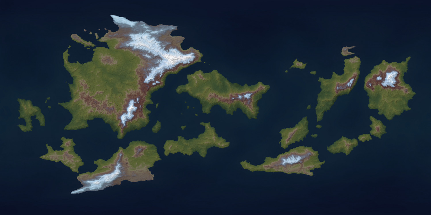
Another version of Jerion
Hi Everyone :)
I've been playing with the Climate map feature of FT3 during my coffee breaks, and though I'm probably not the first to think of using it as a false colouring system I wanted to show you that you can get some interesting results.


-
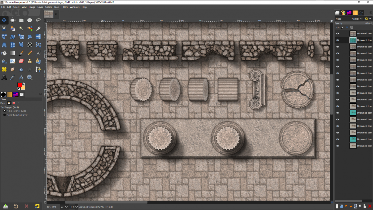
Marine Dungeon - further developments
Slowly getting on with the ruins...

 and 2 others.
 -
Help with coastlines
Hello Keth :)
The coastline is a separate polygon on the COASTLINE sheet, while the land is drawn on the LAND sheet. If you open the Sheets and Effects dialog |CC2SHEETS| you can pick either one of these, hide all the rest, and Apply to see what I mean.
If you are editing the land mass with the Change Properties tool, you may find that you are turning both of those polygons the same fill, so that it looks like you have lost one of them. Check how many entities are selected in the command line at the bottom just before you pick Do It.
If you really want the land base to be ice/snow, rather than the default green land, it is best to hide the COASTLINE sheet before you change it, and then show it again afterwards.

