


Loopysue
Loopysue
About
- Username
- Loopysue
- Joined
- Visits
- 10,014
- Last Active
- Roles
- Member, ProFantasy
- Points
- 9,874
- Birthday
- June 29, 1966
- Location
- Dorset, England, UK
- Real Name
- Sue Daniel (aka 'Mouse')
- Rank
- Cartographer
- Badges
- 27
Latest Images


-
crops
Thanks :)
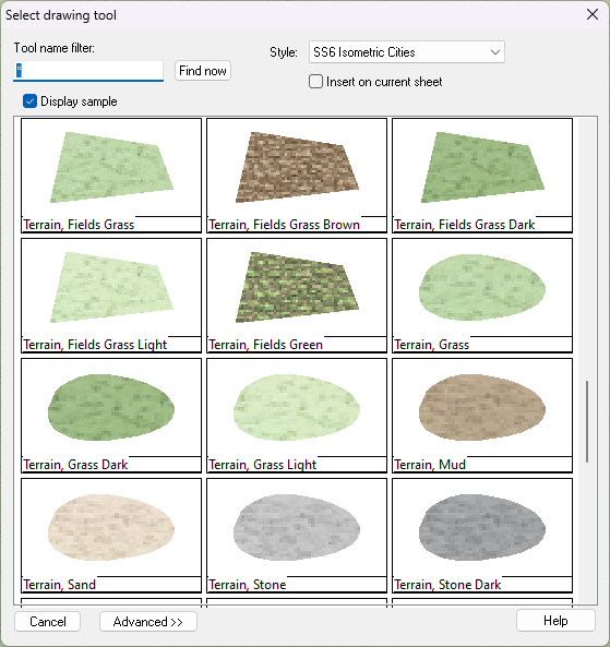
SS6 has several crop drawing tools you can use to fill the fields, though it is probably going to be easier if you have already drawn in the rivers, roads and hedges/forests first so you can just fill the fields in with different fills.
I am assuming this is an SS6 template, since the buildings are SS6.

-
Live Mapping: Monkey Frog Overland
Hi everyone! :D
Tomorrow, Ralf will be taking a look at the latest Cartographer's Annual issue: The Monkey Frog Overland style.
Come join us on YouTube for the live chat here:
https://www.youtube.com/watch?v=FRFdjZcJU3w
Or see it right here on the forum if you prefer.
We would love to see you there :)

-
Using real-world data in FT3
You were helping me by making me think about it ;)

-
Overland Map - Crystalpeak Range
Hi Kopjeagga :)
All looks to be in order, and a fine pair of maps. They don't look like first attempts so I presume you aren't also a first time mapper.
As long as the images you post are in some way related to the thread there's never usually a problem. I do a lot of development threads for new styles, and end up with more inspiration images and sketches than maps in those. The only thing to be wary of is posting someone else's copyrighted work, but usually in those cases it's easy enough to give a link to that work so it can be viewed on the artist's page.
-
Splitting an entity with multiple continents into individual continents
The FT3 exports are what we call 'multipolies' and behave quite different to ordinary polygons. They are made up of ordinary polygons combined into a single entity.
There's an explode button on the left toolbar. Make sure you only have one sheet visible, as sometimes there are duplicated contours - for example contour zero and the coastline coincide with each other. Use Explode only once on that multipoly. Then you should be able to manipulate the continents properly.
Looking a little ahead of that exercise, FT3 exports frequently have way too many nodes to be practical in a CC3 map, so unless you exported from FT3 at a relatively low resolution the next logical step might be to use the SIMPLIFY keyboard command to weed out duplicated or very closely positioned nodes on all your continents. This will help a lot when you start to add more polygons to your map.

