


Loopysue
Loopysue
About
- Username
- Loopysue
- Joined
- Visits
- 9,967
- Last Active
- Roles
- Member, ProFantasy
- Points
- 9,852
- Birthday
- June 29, 1966
- Location
- Dorset, England, UK
- Real Name
- Sue Daniel (aka 'Mouse')
- Rank
- Cartographer
- Badges
- 27
Latest Images


-
Live Mapping: Custom City Map
You didn't hijack it at all, Don. The reason we do live sessions is for people to ask questions.


-
Birdseye Continental - style development thread
First stage of refinement for the now-named "Mountain Spine 01" symbol.
I've been staring and staring at Google Earth images of the Himalayas for ages and decided the easiest way to do this in a CC3 map from above is to make a spine and stick side ridges on it here and there.
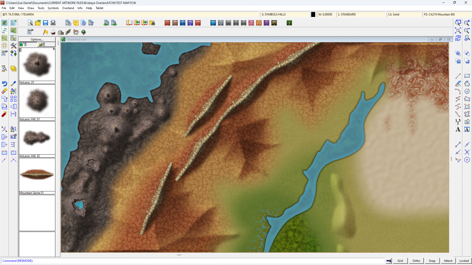
The old bevel mountains are still visible at the moment. I'm using them as a reference for the colour and shade required.
Once I've worked out how to do the ends, and whether this is possibly a connecting symbol or better placed by hand, I can do variations in wiggly-ness, curve and length.

-
Birdseye Continental - style development thread
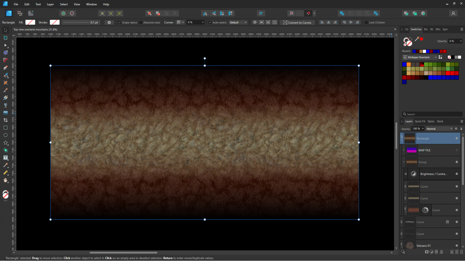
I thought you might like to see some of the process involved in creating the mapped mountains.
Here is the first prototype ridge - a simple edge faded thick line of the red tundra and a rocky texture for the spine.
And here it is in CC3 combined with a crude map file to test colours.
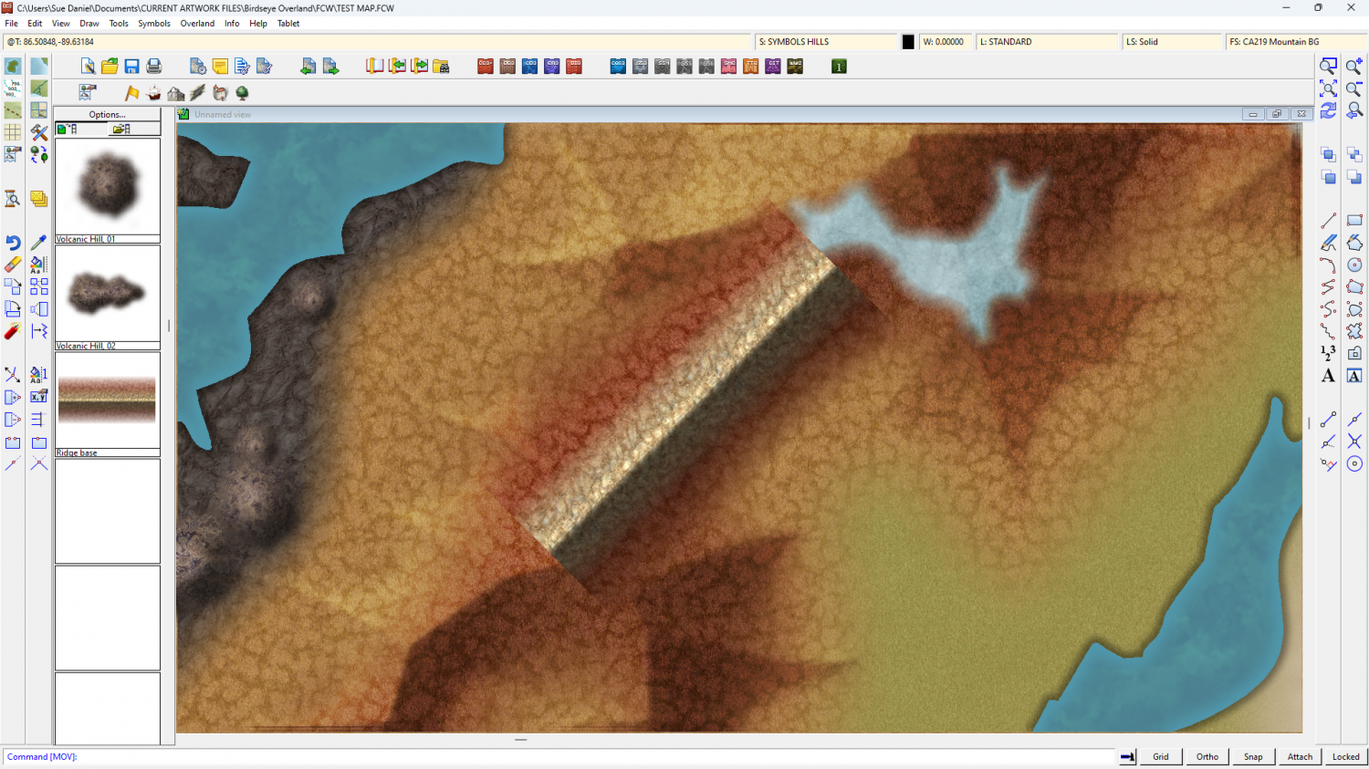
Don't worry - the volcanoes were just as crude when I started with them. This is just the initial stage - working out textures and colours.
-
Birdseye Continental - style development thread
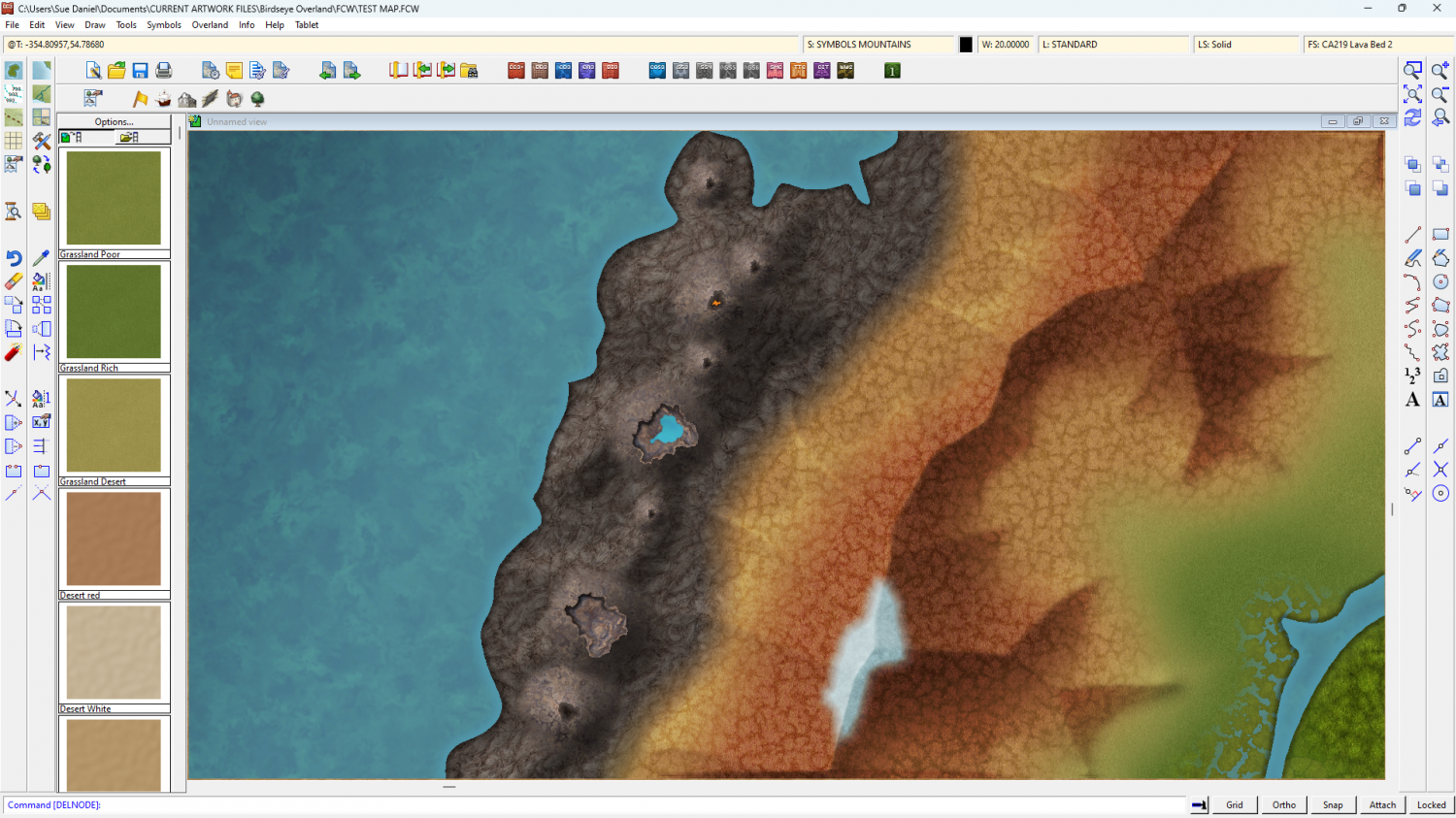
I think I might have sorted out the general volcanic theme. If you are happy with this as the toolkit I'll make the mirror copies of the volcano symbols.


-
Birdseye Continental - style development thread
My experience of volcanoes is limited to recent Icelandic and Hawaiian erruptions - the last 4 years of them anyway, so the fill reflects at least the mood of what I've seen of the relatively flat ground around those eruptions, which seems to be surprisingly pale except where vehicles off road and turn the surface to reveal the darker colours, but I'll keep it for something else and try a volcanic-coloured version of the tundra fills.
Another reason for making it relatively pale is that the darker the fill is, the darker the symbols have to be, and the darker the symbols are, the less effective the map files are, to the point where you can hardly see any shading at all. Map files work best on mid-tone symbols like rooftops. We'll be ok with the regular mountains because they aren't as dark as volcanoes, but the volcanoes are certainly proving to be quite a challenge.

