


Loopysue
Loopysue
About
- Username
- Loopysue
- Joined
- Visits
- 9,984
- Last Active
- Roles
- Member, ProFantasy
- Points
- 9,863
- Birthday
- June 29, 1966
- Location
- Dorset, England, UK
- Real Name
- Sue Daniel (aka 'Mouse')
- Rank
- Cartographer
- Badges
- 27
Latest Images


-
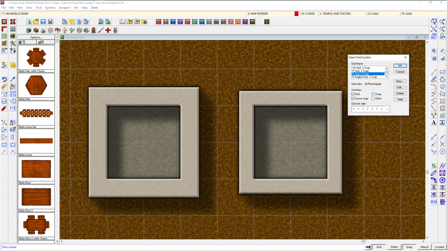
How do I create walls that do not cross into half or more of the floor square?
Similarly, if you want 2.5 foot wide walls you will need to edit the 5ft snap grid (right click the Snap button to do this) and make 4 snap points instead of 2, then draw your room 1.75 ft larger than you want it on the first snap point outside the boundary of the floor space.
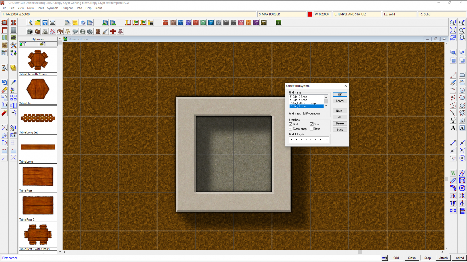
Or for 2 ft wide walls you need to use the 5 snap 5 ft grid.


-
City Designer Lag
That has little to no effect.
What usually causes the problem is if you have loads of House entities rather than symbols, because they are built from filled polygons and dramatically increase the node count.
You can work on a district at a time and then move a completed district to a layer of it's own and hide it until you need it later to check on how things look overall, or for rendering.

-
advice for large circular map
Use List in the Info menu to find out how many nodes you have in that large landmass. It's the node count that really slows CC3 down. over 10,000 is where it starts to get slow, while 30,000 is nearly impossible to work with. But do you really need that many? In most cases, not really.
If you can get away with it without losing something important, use SIMPLIFY to get rid of unnecessary nodes. Even if you use a very small factor with SIMPLIFY, it will still get rid of any nodes that are right on top of each other and not really doing much because they are too close to make any difference.
Fractalise is a high risk tool to use. If you use it too many times all you end up doing is making the coastline frilly and CC3 slow, neither of which are good things. I don't recommend fractalising anything large more than twice with the default settings and definitely no more than 3 times. You also have to consider that however many nodes you end up with in the coastline you will double that if you then trace the coastline with all your terrain fills.
If you want to be able to edit and trace your coastline, use a colour key for the central ocean instead of multipolying the two parts. A multipoly can't be traced, edited, or fractalised.

-
Sheets button not showing
This is a bit different to entire toolbars vanishing, so it might be worth re-contacting Tech Support before you reinstall if it comes to that.
-
Is there a way to make something like a fill style with a group of tileable textures?
Here is a suggestion that might help achieve the look that you want.
how about making the sky fill a solid blue, and adding the cloudy bits as fuzzy edged symbols? If the cloud symbols are mostly transparent you can build up thicker layers of cloud by overlapping or placing them on top of one another.
