Monsen
Monsen
About
- Username
- Monsen
- Joined
- Visits
- 660
- Last Active
- Roles
- Administrator
- Points
- 8,858
- Birthday
- May 14, 1976
- Location
- Bergen, Norway
- Website
- https://atlas.monsen.cc
- Real Name
- Remy Monsen
- Rank
- Cartographer
- Badges
- 27
Latest Images


-
Community Atlas: South East FONLORN ARCHIPELAGO - FISHER ISLAND
Thanks. This area should now be complete.


-
Birdseye continental query
How are you selecting the background? Due to the fact that the background is a big rectangle with the water on top, you can't select it where it meets the water since that would cause you to select the the water instead.
The easiest is probably to just temporarily hide ALL sheets except BACKGROUND, then change it, then show those sheets again.
-
Gathering coordinates for incredibly precise exports?
Just type the numbers ate the command line instead of clicking with the mouse.
For example, if your map is 200 by 200 map units and you wish to export in 4 parts, simply do four rectangular section exports, and when CC3+ asks for the corner, type in 0,0 and 100,100 for the first 0ne, 0,100 and 100,200 for the second one and so on.
If you prefer to use the mouse, you can also set up an appropriately sized snap grid where each snap division is the size of the section to export. You can set up snap grids by right clicking the Snap button in the lower right.
Or, you can use my tile export macro from Annual issue 129.

-
Community Atlas: South East FONLORN ARCHIPELAGO - FISHER ISLAND
@Ricko I have processed most of these but I was unable to process the Saquare and Cenotes maps due to the maps being attached to here being incomplete unfinished versions. Could you upload the finished versions for these?
-
Annual 2020 - Inked Dungeons question
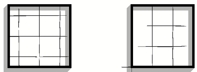
I think this is a deliberate artistic choice in this style, but you can change it by "cheating" a little. The origin of the fill is determined by the lower left extent of the fill, so if you make a little notch somewhere that forces the start of the fill half a grid square down and to the left, you get your desired result. This little notch can then be covered up by the outside wall details:
As for the second question, you add grids to your map using the Hex or Square Overlay command found in the Draw menu.