Monsen
Monsen
About
- Username
- Monsen
- Joined
- Visits
- 660
- Last Active
- Roles
- Administrator
- Points
- 8,858
- Birthday
- May 14, 1976
- Location
- Bergen, Norway
- Website
- https://atlas.monsen.cc
- Real Name
- Remy Monsen
- Rank
- Cartographer
- Badges
- 27
Latest Images


-
CD3: Advanced Street Settings
The only way is really to just load them up in the house style editor [HOUSEOPT] and look at them one by one.
To quickly look through them without clicking yourself to death, take advantage of the fact that Windows GUI components are keyboard friendly. Simply use the top dropdown and click on the very first style in the list to select it and collapse the list, then as long as you don't click any other controls, it will be the active control, and you can go through the styles using the arrow keys.


-
Lighting Issue
I haven't read the text from the annual issue, but if the instructions feels unclear, don't hesitate to give Ralf a word about it. There are many people reading those things that don't hang around here.


-
Forgotten Realms Interactive Atlas repairs.
@Hildebrando Santos wrote:
I notice if i translate the text, i have a english white text in the background. How can i change it?
This is because these maps were made in CC2, before things like effects. So to have a outline on the text, it is actually two text entities with the exact same text, one with regular filled text, and the other set to only show the outline. This was done to make the text more readable.
However, this means that you will need to do the edit twice, once for each text entity. If you have trouble selecting the right one for edit, try hiding some of the TEXT layers (either everyone marked OUTLINE, or everyone NOT marked as such.
As Wyvern said above, it is better that you start your own topic if you have any follow-up questions that are related to your own work and not the atlas repair project.
-
Scale things by size in units?
Not directly, it want a relative change.
But, you can get the desired result by just typing in the new size divided by the old size on the command line, as in, just type the actual calculation, no spaces. So if the old size is 3.7 units and you want it to be 2 units, when it asks for scale factor, just type
2/3.7on the command line when it asks for the scale factor.
You do need to know the old size though, which can be found using the distance tool in the info menu.
This is commonly used when inserting an existing map to trace by for example, just insert the image, measure the distance of the scale bar in the inserted image, and use that as the basis for scaling.


-
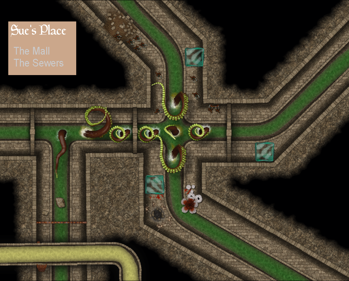
Live Mapping - Sinister Sewers