


Monsen
Monsen
About
- Username
- Monsen
- Joined
- Visits
- 660
- Last Active
- Roles
- Administrator
- Points
- 8,858
- Birthday
- May 14, 1976
- Location
- Bergen, Norway
- Website
- https://atlas.monsen.cc
- Real Name
- Remy Monsen
- Rank
- Cartographer
- Badges
- 27
Latest Images


-
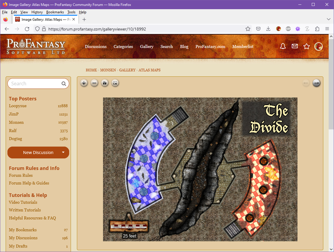
Changes to the Gallery Image Viewer
One thing that I never was quite happy with with out current image gallery solution was the image viewer. The gallery allows people to upload images in quite high resolution, but since the viewer didn't have anyway to zoom, actually enjoying that quality was cumbersome unless you knew how to bypass the viewer and force the browser to view the image directly.
And after a recent conversation with Quenten, I realized it was time to actually try to improve this a bit.
So, I have now replaced the image viewer that is used when you click images in the gallery. The new viewer loads the image into a regular forum page by default (as opposed to the full window used by the previous one), but in return the general navigation experience is better, and the new viewer allows you to zoom in/out on images using the mouse wheel, the buttons above the viewer, or by pinch gestures on mobile. It also has a full-screen button so you can easily bring any map into full screen view for a maximized viewing experience. (Hit the full-screen button again, or the esc key to leave full screen).
As with the old viewer, there are also back/forward buttons (top right) that allows you to click through all the images belonging to the same gallery album as the current image.
I might do some additional tweaking in the future, but for now, it should be up and running just fine (hopefully). Let me know if you encounter any issues (error messages, wrong images loading, etc). Hope you enjoy this improvement.
If you are posting images in the forum and want to include a link to the higher resolution one in the gallery, just navigate to the viewer page for that image in your gallery, then copy the URL from the browser address bar and paste it into the post. The url should look something like this: https://forum.profantasy.com/galleryviewer/10/18992.
Also, please do remember that if you upload images to posts, they will be resized to a maximum of 1500x1500 pixels, no matter the original resolution or file size, so if you want a higher resolution image for viewers to enjoy, you must use the gallery (The gallery will resize to a maximum of 8192x8192 pixels).


-
Symbol catalogues
These symbol catalog settings are stored as .sis files in @System\Symbol Catalog Settings, so one would have to manually make copy of these for use in new installations. (And of course, there are the new symbol catalogs themselves (the .fsc files).
-
Myirandios - Hardin Region - Skalamark
Sorry the resolution isn't so good on the forum.
In-post forum images needs to be kept to a reasonable level out of consideration for all the various users, but if you want to provide a link to a higher resolution gallery image, you can just right click the image thumbnail in the gallery and pick "Copy link" (Slightly different name in different browsers) and you get a link straight to the relevant image you can paste into the post.
Please do make sure to make it into a hyperlink though, and not embed the actual image, as that will force everyone that opens the thread to download the full high resolution image, which is really bad for people with slower connections or even metered connections, like mobile plans. To avoid embedding it, simply type some text on the line before the link, like I did below (Forum will automatically try to embed it if you just paste the link on a line by itself.)
Like this:
High resolution version here: https://forum.profantasy.com/uploads/galleryplus/539/f30IY0FX345EK.jpg
Or even by manually making the hyperlink:
-
Remapping the Forgotten Realms
His map seems to be made up from Resources from CC3+ Core, Perspectives 3, SS5 and SS6.
You can easily check where a symbol comes from by going to Symbols -> Symbol manager, selecting any symbol (including one of the red X's) and hitting the List button. This should show the file path to the art file used (among other information), and it is usually not too hard to figure out what it means, for example all SS6 resources have SS6 in the path.
You can do the same for fills by opening up the fill style dialog, go to the bitmap files tab, picking any fill in the list, and inspect the path shown in the appropriate field.
-
[WIP] Community Atlas - Rhaghiant (western Doriant)
Just to confirm what others already said, yes, you can add additional details to local maps. That's the main idea, and the same thing you see in any printed atlas. The country maps only have the major details, but the regional and local maps have more details.
Obviously, the local maps shouldn't add features that are so large they should have been on the higher level map. For example, it would be weird to add a major river or a capital city if those weren't on the larger scale map, but adding smaller features, like settlements smaller/less important than those on the main map, smaller rivers, and so on is completely fine.
After all, if you don't add any detail to the local map, it hardly have a reason for existing at all.
As for naming, I think most features added to the map should be named. Names make it easier for those making lower-level maps to be consistent, and it makes a map into a map. After all, a map is for showing where things are, it is a map after all, not an aerial photo, and without names it gets kind of meaningless. Humans tend to name every feature around them, and my line of thinking is more along the line of "If it isn't worth naming, do it really belong on the map at all?". Some symbols may appear just for decoration and naturally don't get a name, but otherwise, most features should be named; settlements, rivers, oceans, forests, mountain/hill ranges, points of interest, major areas, etc.....
Detail maps will typically have more than enough new features to name.

