

Ricko
Ricko
About
- Username
- Ricko
- Joined
- Visits
- 6,750
- Last Active
- Roles
- Member
- Points
- 10,565
- Birthday
- February 7, 1977
- Location
- merlo san luis argentina
- Rank
- Mapmaker
- Badges
- 22
Latest Images
Reactions
-
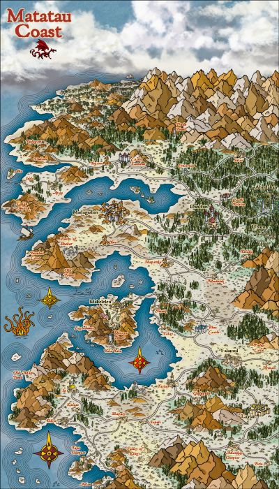
[WIP] Community Atlas: Kumarikandam - SE Tiantang Region
This time, Master @Quenten sent me to map an "eastern" region. I chose the Empire of the Sun style to create the overland map and then I will use Mike Schley's new oriental images to create the smaller plans within this first map. The names have Chinese influence.
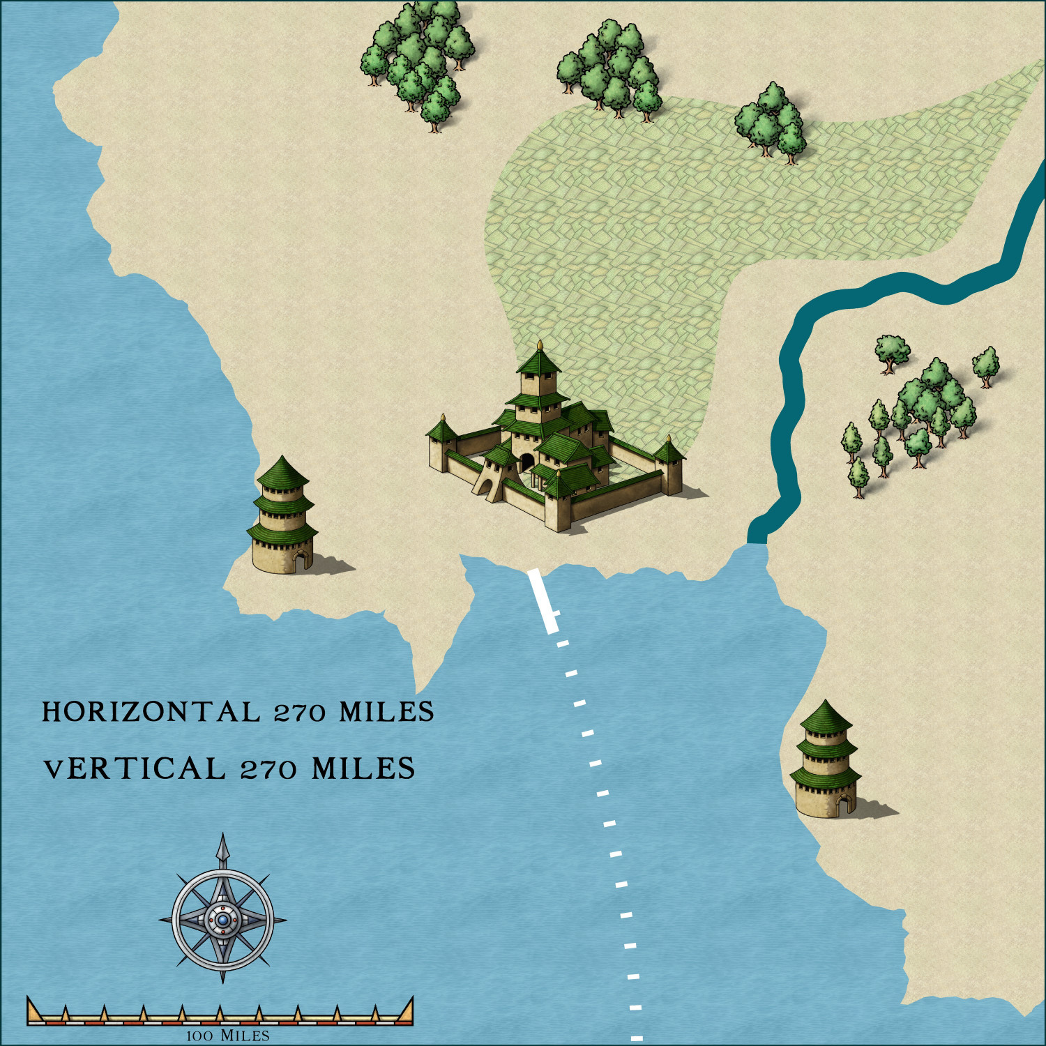
My little piece of land in its original image at 270x270 miles.


-
Ricko's Questions


-
Community Atlas: South East FONLORN ARCHIPELAGO - FISHER ISLAND
-
Community Atlas: South East FONLORN ARCHIPELAGO - FISHER ISLAND
-
Community Atlas: South East FONLORN ARCHIPELAGO - FISHER ISLAND
This example is simply to illustrate why CC3 users should consider using, at least minimally, a simple image editing program when they want to print their own maps.
In this battlemap below, the touch-ups I used were minimal. I used only: Contrast, increased texture (clarity), and a little saturation in the green and purple colors.
With just this, the image changes and becomes much more eye-catching for printing and use in a game session.
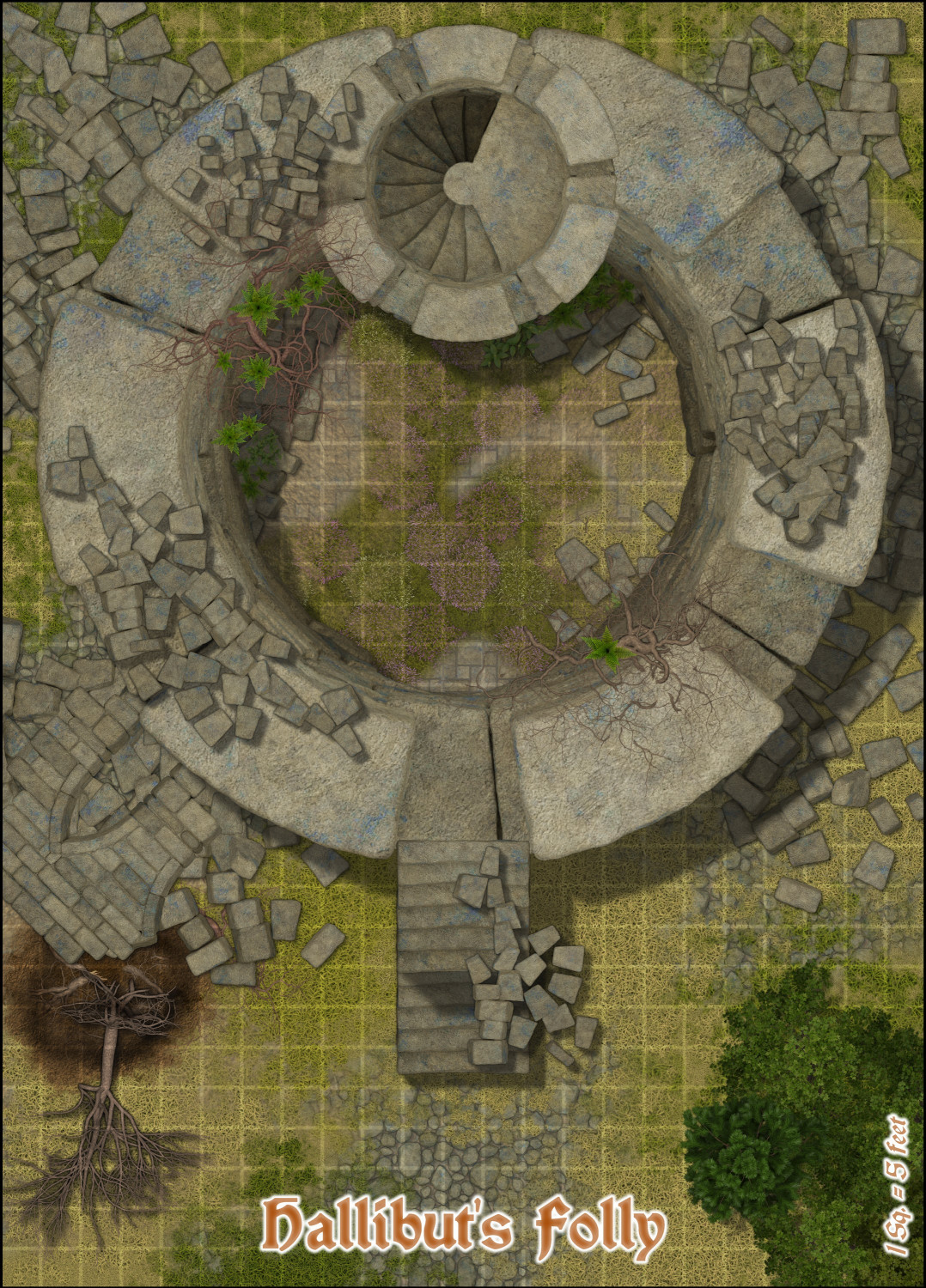
Original Image exported from CC3.
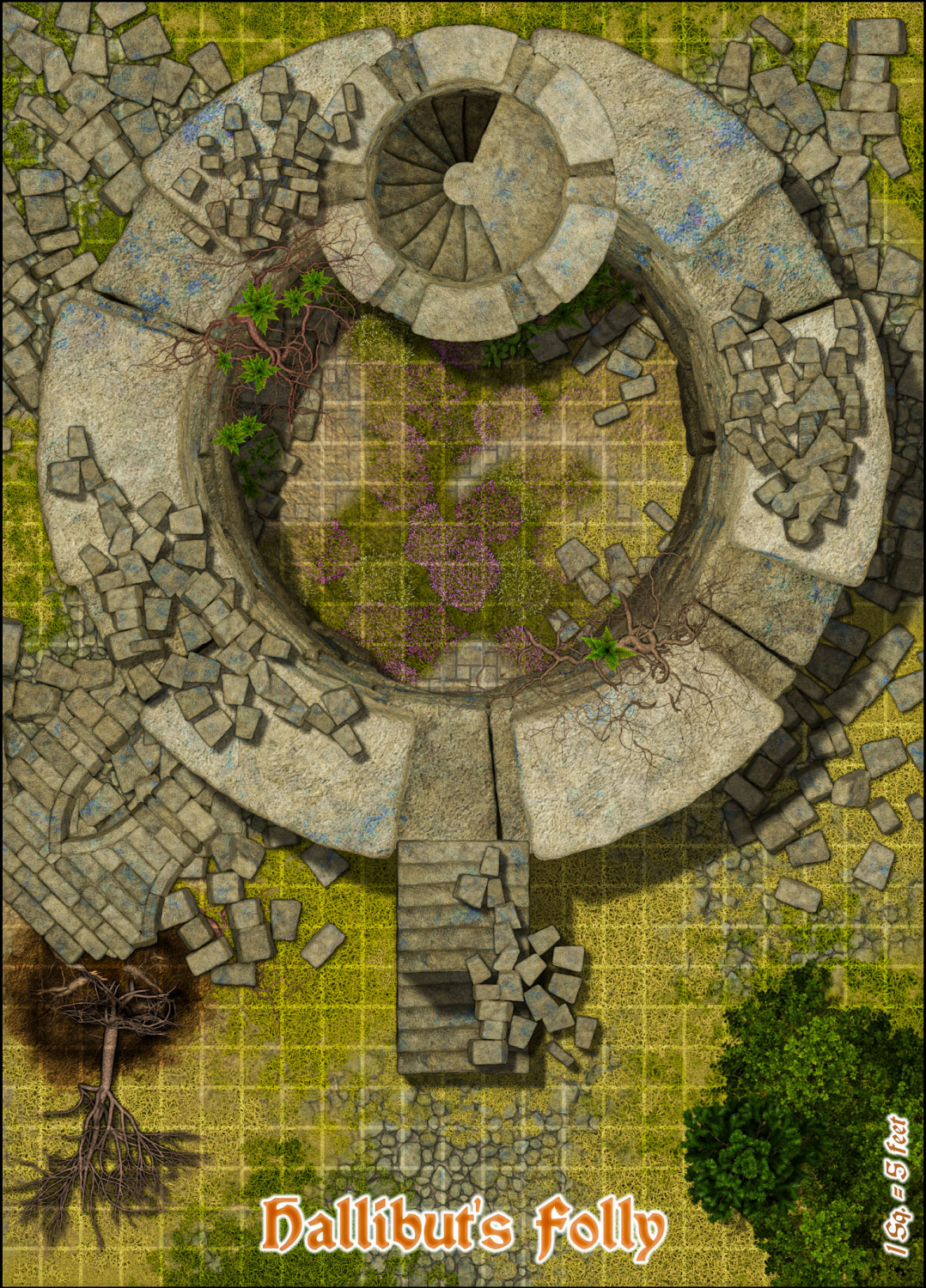
Retouched Image.


