Ricko
Ricko
About
- Username
- Ricko
- Joined
- Visits
- 6,753
- Last Active
- Roles
- Member
- Points
- 10,565
- Birthday
- February 7, 1977
- Location
- merlo san luis argentina
- Rank
- Mapmaker
- Badges
- 22
Latest Images
Reactions
-
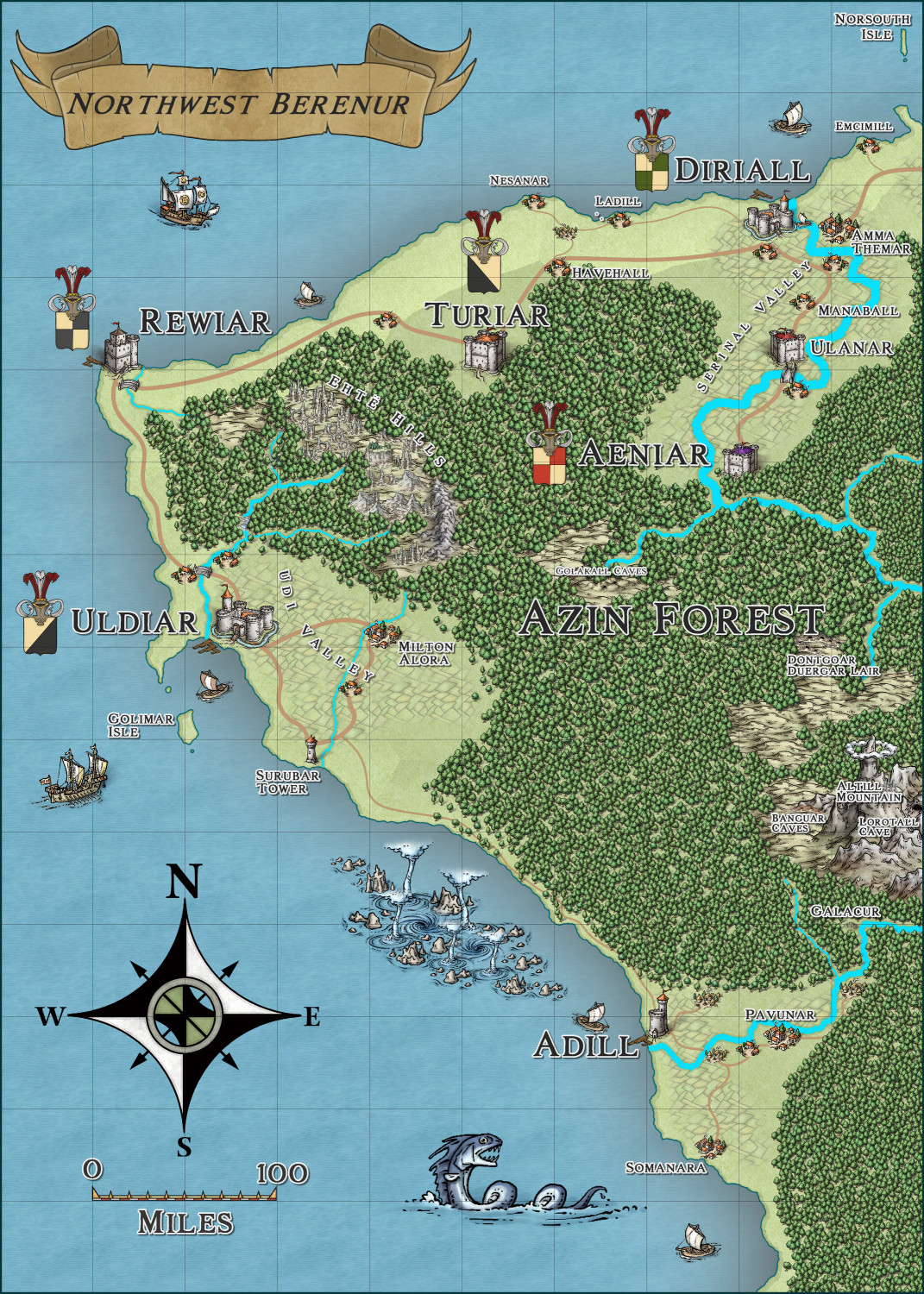
Community Atlas - North West Berenur - Azin Forest
-
Community Atlas - North West Berenur - Azin Forest
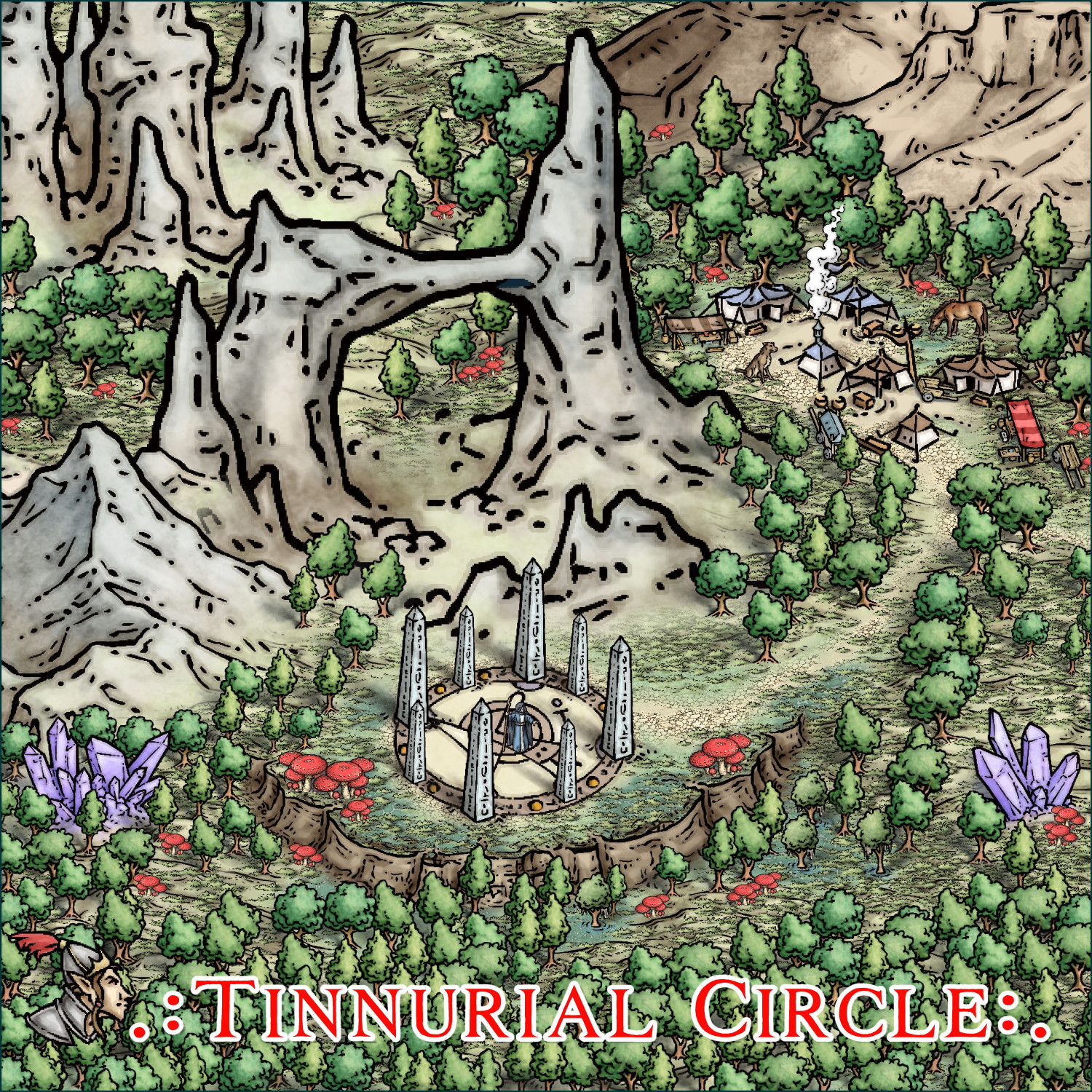
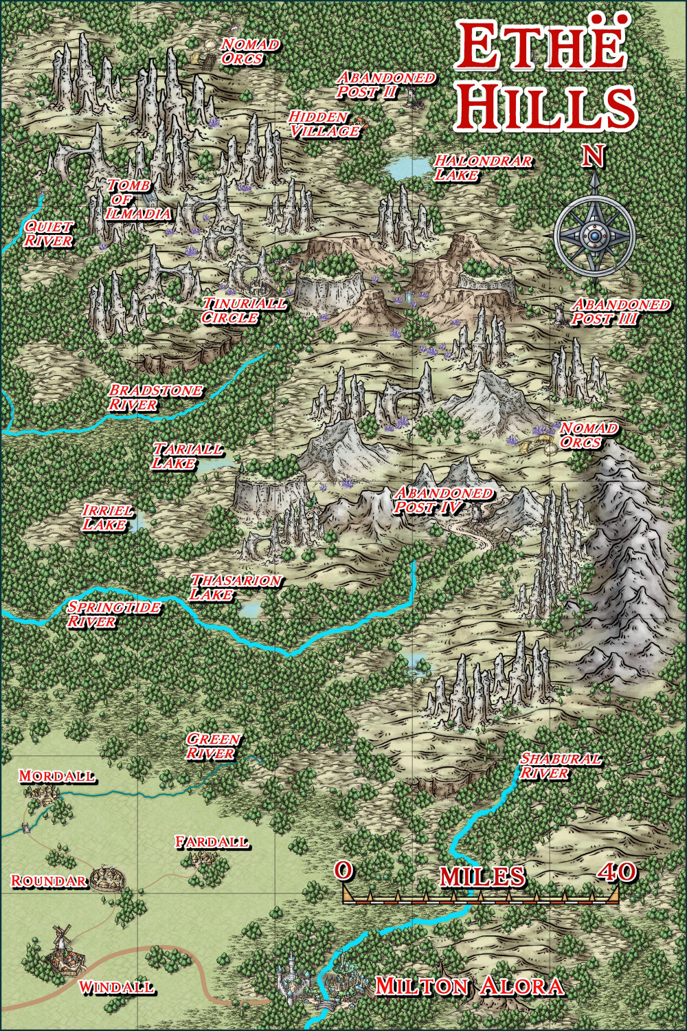
Descriptive map - Middle South East camp on Ethe hills map.
They invite me bone soup, very tasty :)

![[Deleted User]](https://secure.gravatar.com/avatar/c75d9a245b74d9c59be0999ea81ca541/?default=https%3A%2F%2Fvanillicon.com%2F92add7f8c954488718110edc4896ad39_200.png&rating=g&size=200)


-
Community Atlas - North West Berenur - Azin Forest
-
Community Atlas - North West Berenur - Azin Forest


 and 1 other.
 -
Community Atlas - North West Berenur - Azin Forest