Royal Scribe
Royal Scribe
About
- Username
- Royal Scribe
- Joined
- Visits
- 9,529
- Last Active
- Roles
- Member
- Points
- 3,353
- Birthday
- February 5, 1968
- Location
- San Francisco, California
- Website
- https://legacy.drivethrurpg.com/browse/pub/31814/Royal-Scribe-Imaginarium
- Real Name
- Kevin
- Rank
- Mapmaker
- Badges
- 16
Latest Images


Reactions
-
How to Mark/Illustrate relative depth in Dungeon Maps?
early versions of D&D encouraged use of sloping passageways and similar features for example
Oh, yeah! Dwarves had the ability to detect slopes, an advantage that was probably worthless in actual game play. If the slope was enough to cause problems, it would be steep enough for anyone to notice it.

-
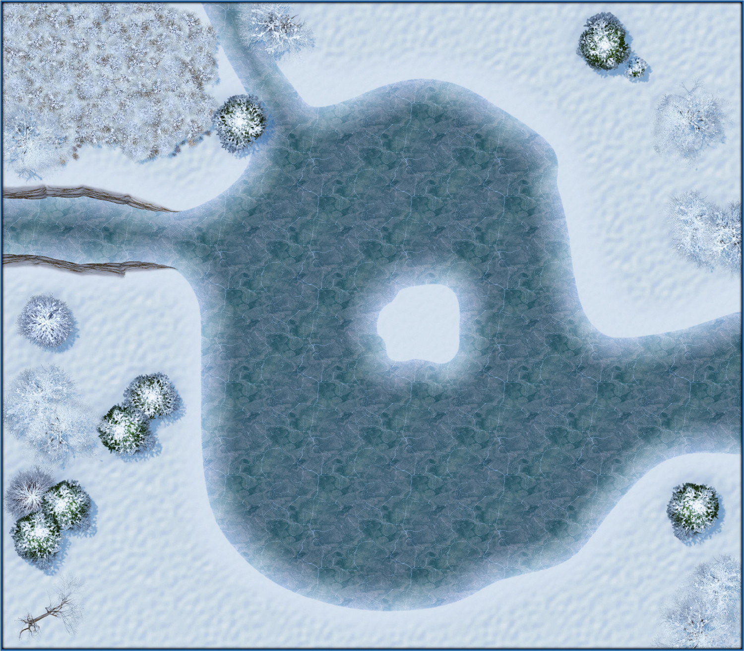
The Frozen Lake - a story in three acts
Procrastinating on something else, so decided to do a little mapping instead. A quiet, peaceful stroll around the lake in winter.
Act I
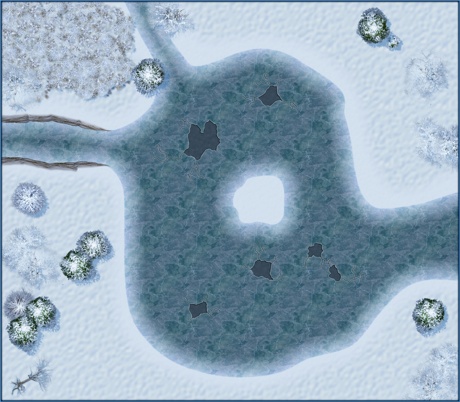
Act II
Careful out there, looks like the ice may not be so solid...
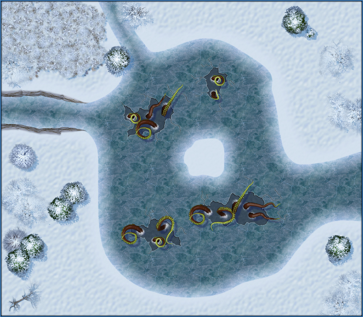
Act III
Uh oh.....


 and 6 others.
 -
Dungeon Level Symbols
And these are the kinds of ideas that I need. All of them may not make it in, but the more ideas I get of what might be useful, the more complete the symbol set will be.
I fully recognize that this is too many ideas unless you’re going for a whole year’s worth of annuals, but here are some thoughts…
- Ornate staircases and steps - wooden, stone, marble - flare out at the base like for a grand ballroom, spiral staircase that simultaneously goes up and down (like Creepy Crypts), individual steps
- If you do outdoors stuff: Varicolor fruit trees, flowers, topiary
- Wizard/Library stuff - globe, astrolabe, mortar and pestle, telescopes, jewelers tools, cartography tools, quills and inkwells, spectacles, books and scrolls and scroll cases, crystal balls, wands and staffs
- Individual gems (so that one large gem could be a magical artifact, special treasure, etc)
- Rugs and carpets
- You touched on this earlier: varicolor design patterns and heraldry symbols like Marine Dungeons’
- Statues - PC/heroic figures types (fighters, mages, cloaked roguish figures, priest types), royalty/nobility types, animals, demons and angels, mythical creatures, large and small idols (I’m thinking both like the giant idol on the original D&D Players Handbook cover but also the small idol Indiana Jones steals)
- Gargoyles and grotesques, other architectural ornamentation (spires?)
- Wall ornamentation - pictures frames (could be portraits or mirrors), varicolor torches/sconces
- Flags and flagpoles, separate so can be mixed and matched (top down or jutting from wall)
- Siege equipment - catapults, ballistas, trebuchets, battering rams
- Bell tower stuff: bells, clock faces, gears
- Barn stuff: hay bales, saddles, horse shoes
-
A first map, "The Mushrooms Lair (Thieves Hideout)"
Really great map, and some pretty advanced techniques for a first-shared map -- like making your own stairs and dealing with transparency acne. Nicely done.

-
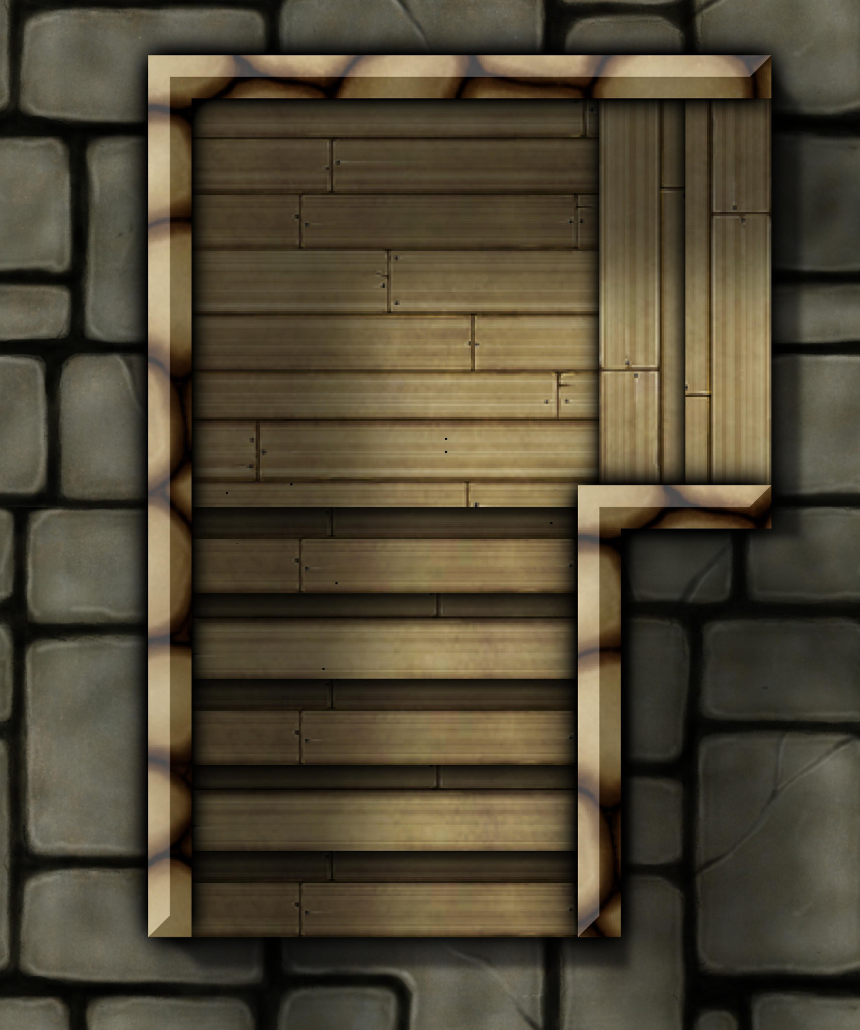
Experimenting with wooden stairs
Good ideas. I keep forgetting about SS2. I thought about CA209, but wasn't sure the brown ones looked wooden enough.
Drawing them would allow me to use the same wood grain as the floor. I guess my subconscious brain was ruminating on this while I slept, because I woke up with the idea of changing the direction of the draw fill for every other step by doing the "Angle by Edge" function on the opposite edge, and then removing the angle by changing to a Shade Only Copy. And it works! You still get the plank divider lined up every other step, but that's not so bad.