Royal Scribe
Royal Scribe
About
- Username
- Royal Scribe
- Joined
- Visits
- 4,318
- Last Active
- Roles
- Member
- Points
- 1,563
- Birthday
- February 5, 1968
- Location
- San Francisco, California
- Real Name
- Kevin
- Rank
- Mapmaker
- Badges
- 11
Reactions
-
[WIP] Atlas Contest - Yréas Kóltyn Village (Kingdom of Enía, Gold Coast region of Dóriant)
When I was working on Fon'Anar, my elven farming village in Verinress'Arl on Artemisia, I had an idea for a different approach for an elven village that I wanted to try next.
This little village of Yréas Kóltyn is set in the Kingdom of Enía, a northern country in the Gold Coast region of Dóriant that I am submitting as parent (or great grandparent) map to the Atlas. It's a religious community overseen by an archdruid who oversees religious observances at a Great Henge located in the Firessi Woods. For context, it's located in the yellow box on this map:
I did the map using the Forest Trails annual, with heavy assist from the Darklands City annual. Here's the map in progress:
And here is a more battlemap-ready version of it with the trees (and treehouses) hidden, and just stumps and shadows shown:
The treetops and treehouses are all on a single layer to make it easier to toggle them on and off.
The idea of the village is that they've grown up in support of the temple in support of the elves who make pilgrimages there for the opportunity to experience religious services in one of the holiest places in the kingdom.
Here's the temple close up:
In my campaign world, the elves have seven gods, which is why this has seven standing stones in the center ring, then seven arches and seven stones in the middle ring, and then fourteen arches in the outer ring.
The archdruid's home also serves as a sort of local government for the community. It's the only treehouse home accessible with proper stairs. All of the other treehouses have wooden ladders or rope ladders that can be pulled up to impede access from intruders. Here's the archdruid's home:
The other buildings on the ground here are stables (#3), an inn (#4), and a general store (#5).
The villagers live somewhat communally. Since it would be kinda dangerous to cook food in a treehouse, there's a common kitchen and Great Hall. Everyone has a job, and for some, it's to work in the kitchens to cook for the village -- kinda like the dining commons at a university, perhaps.
Here are the "commons." It includes a small aqueduct to bring fresh water to the kitchens (7) and community baths (9). Dining is in the Great Hall (8). On nice evenings, a bonfire can be lit (10), around which the elves often sing and dance.
Most of the elves live in multigenerational treehouse homes. There are a few neighborhoods of these homes in the village, and residents can walk through their neighborhoods on elevated bridges without needing to go down to the ground. Here's an example of one of those neighborhoods:
I was going to add lots more trees throughout these neighborhoods, but they kind of distracted from the homes themselves.
Since the treehouse homes wouldn't have cooking or fireplaces, I guess these residences shouldn't have chimneys. I tried to cover the chimneys with upper canopy foliage, but I missed a bunch.
I think there are 28 residential treehouses (excluding three attached to the archdruid's that I thought might serve as guest accommodations for VIP pilgrims. They're meant to be multigenerational homes. In calculating the village's population, many residents do you think I should assume per residence?
Any thoughts or feedback?
-
[WIP] Community Atlas - Eknapata Desert
Okay, here's the next iteration.
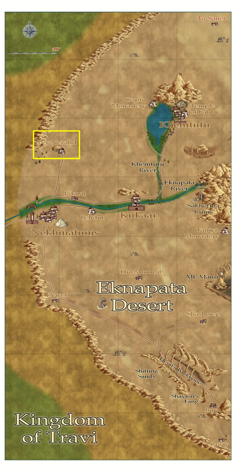
I tried to use blotchy lighter sands to suggest sand dunes, like the Sahara Desert, and darker blotches to show more solid, earth-packed areas. Not sure if I should try to get them to blend in more with a partial transparency or something?
Tried to make the roads show up a little more, but I can't tell if it was that successful. I liked the idea that the guys with the camels could be used on the trails roads to indicate that it was more of a general route through the sands, where most travelers would need an experienced guide to make sure they don't get lost, since a proper road would be blown away or covered with sand. There is a more treacherous area in the southern part of the desert called the Devil's Backbone, where a proper road on more solid land passes next to a 50-mile long fissure. It's a dangerous route, beset by foul creatures that creep out of the fissure, especially at night. But the road is on solid land, and without a guide, it might be a safer route than braving the shifting sand dunes. (I put a tower next to one of the villages down there -- maybe a wizard is there that the adventurers just have to visit?)
Thoughts?
-
[WIP] Community Atlas - Eknapata Desert
I am writing up the description for the Eknapata Desert area of Gold Coast region of the Community Atlas. It was designed using the Scorching Sun annual. Any feedback on the map before I submit it?
-
Community Atlas submissions: the Gold Coast (Doriant) and areas within it
I am going to use this thread to officially submit my maps for the Gold Coast region of Doriant. I will have separate Work-in-Progress threads for feedback on maps as I am working on them, and then will use this thread for the official submissions so they are easy for Remy to find. I know Remy isn't processing new submissions until the contest ends, but this will queue up my future submissions for later this fall or winter, and it also provides a home for some of the villages I want to submit for the contest.
The first submission is ready! It's a 1000 x 1000 mile section on the western side of Doriant.
Here's a markup of the parent map to put it in context (the blue border represents the area I'm calling the Gold Coast.
And here is the Gold Coast with all labels but without political borders shown:
Here is the FCW file, along with a PDF description and a plain text description. (I stripped out accents and special characters in the plain text file.)
Primary Style: Annual Spectrum Overland
Toggles: "Borders (Political)" sheet to turn display or hide the political borders within the region.
@Monsen, please let me know if I've messed up and need to fix anything, or if you'd prefer submissions to be handled in any other way. I have lots of other local area maps within this region that will be ready to submit soon.
-
[WIP] Atlas Contest: Village of Djayet (Gold Coast, west coast of Doriant)
Made some tweaks. Got feedback that if the pyramid may be an adventure hook that someone may want to map, maybe it shouldn't get cropped off the screen. Moved a few things around on the outcrop so that it could fit on screen. Also added the scale bar. Figured out that to edit the text from "miles" to "feet," I had to explode it first, then ungroup it to edit the text. But now I have this nagging memory that we aren't supposed to include scale bars in the Atlas?
Any other feedback or thoughts?