


Quenten
Quenten
About
- Username
- Quenten
- Joined
- Visits
- 8,062
- Last Active
- Roles
- Member
- Points
- 3,090
- Birthday
- November 29, 1950
- Location
- Australia
- Real Name
- Quenten Walker
- Rank
- Mapmaker
- Badges
- 16
Latest Images


Reactions
-
Horizontal lines between walls when tracing
East coast of Australia as inspiration?

-
Carn Dum - using Inked Ruins annual
Well, I decided to try out this annual. I've not done much in B&W before (ie none)
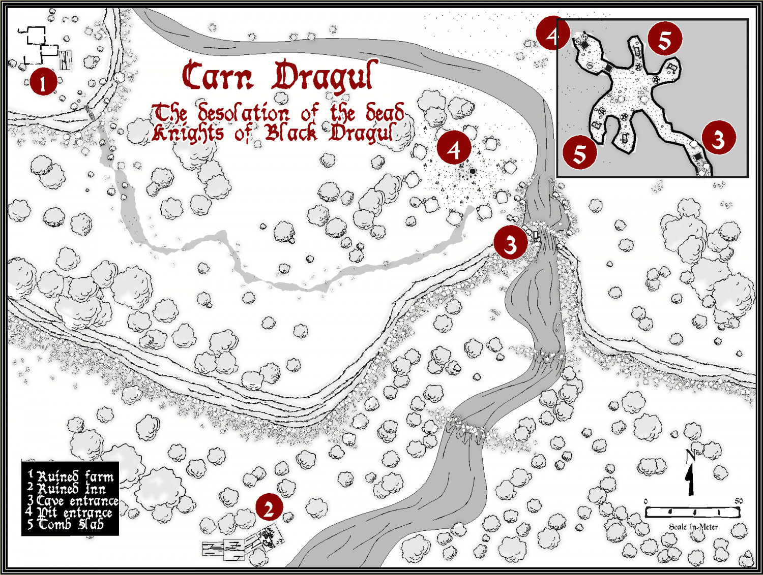
Larger version in the gallery


 and 2 others.
 -
Hello
Welcome to the forum, and to the world of ProFantasy mapping
-
Overland Template Suggestions - Continent Scale
13th Age.
-
Stanozoland
Love the top glacier name. Lol
