Quenten
Quenten
About
- Username
- Quenten
- Joined
- Visits
- 8,062
- Last Active
- Roles
- Member
- Points
- 3,090
- Birthday
- November 29, 1950
- Location
- Australia
- Real Name
- Quenten Walker
- Rank
- Mapmaker
- Badges
- 16
Latest Images


Reactions
-
Vejorvik - Boris and Bear Tavern
Here is the 2nd floor - with the players' version as well as the gamesmaster one.

Gamesmaster version below:


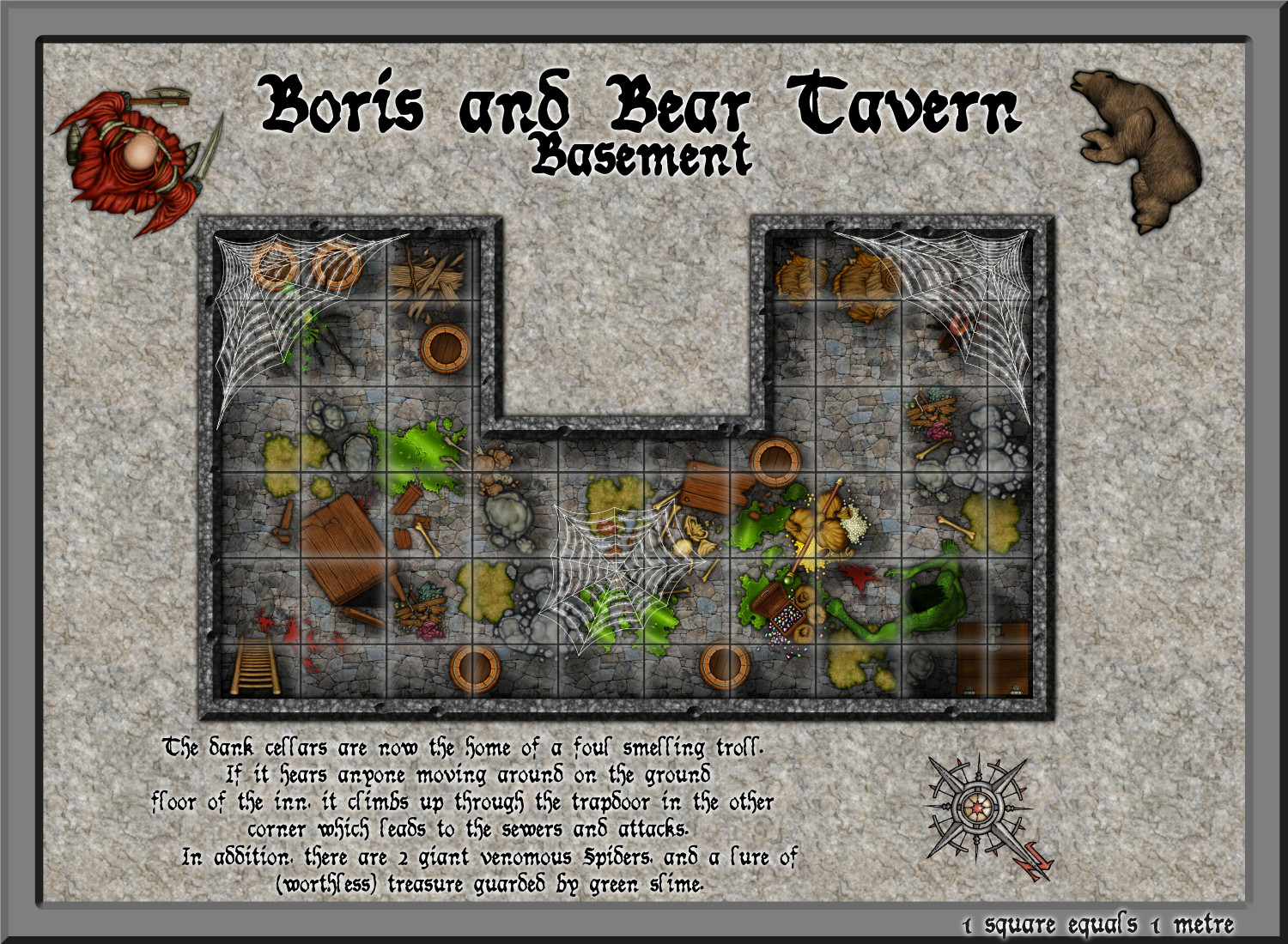
-
Vejorvik - Boris and Bear Tavern
DD3 - in the Debris section.

-
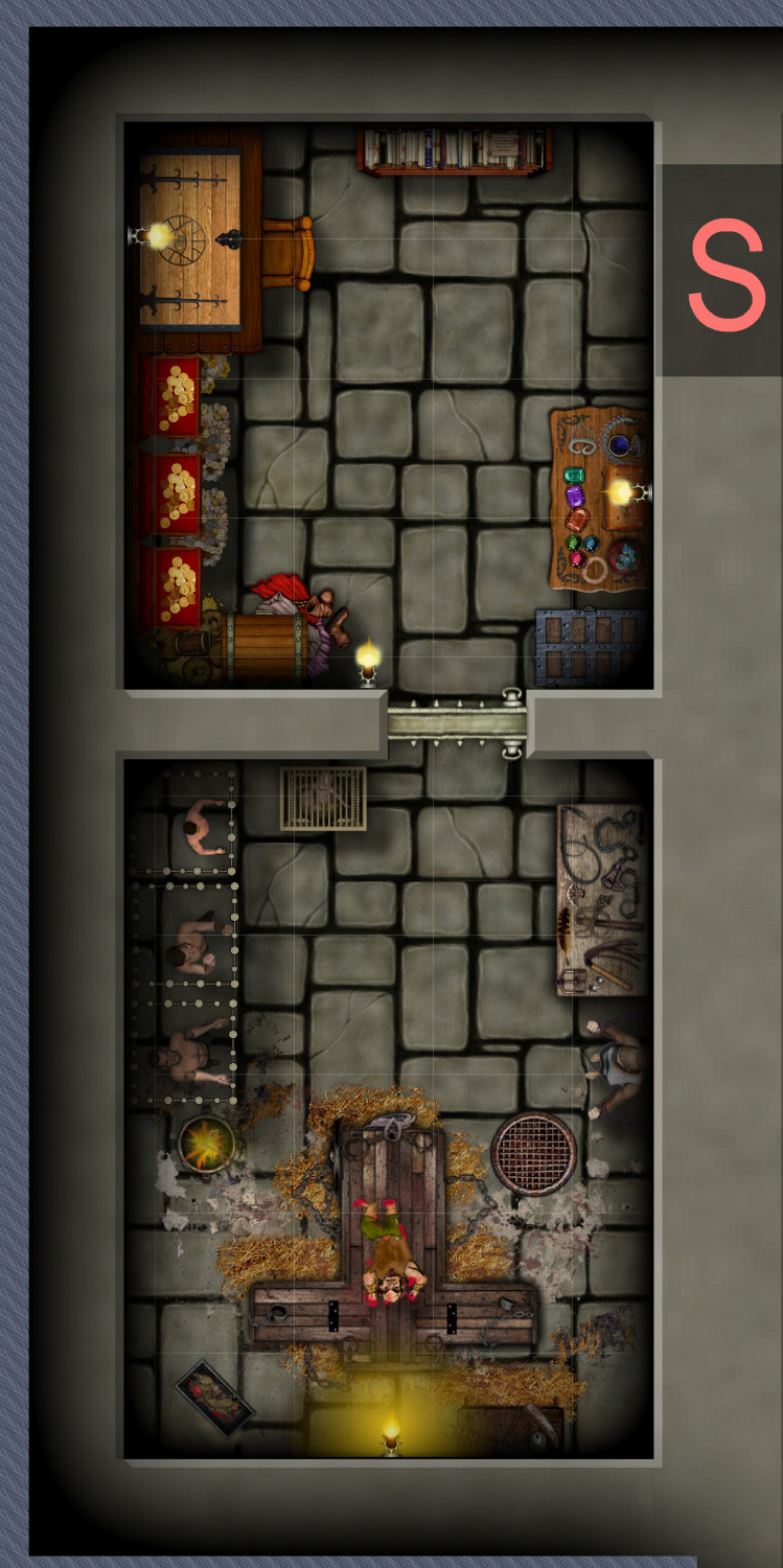
Vejorvik - Boris and Bear Tavern
And of course, the GM's map of the basement.
-
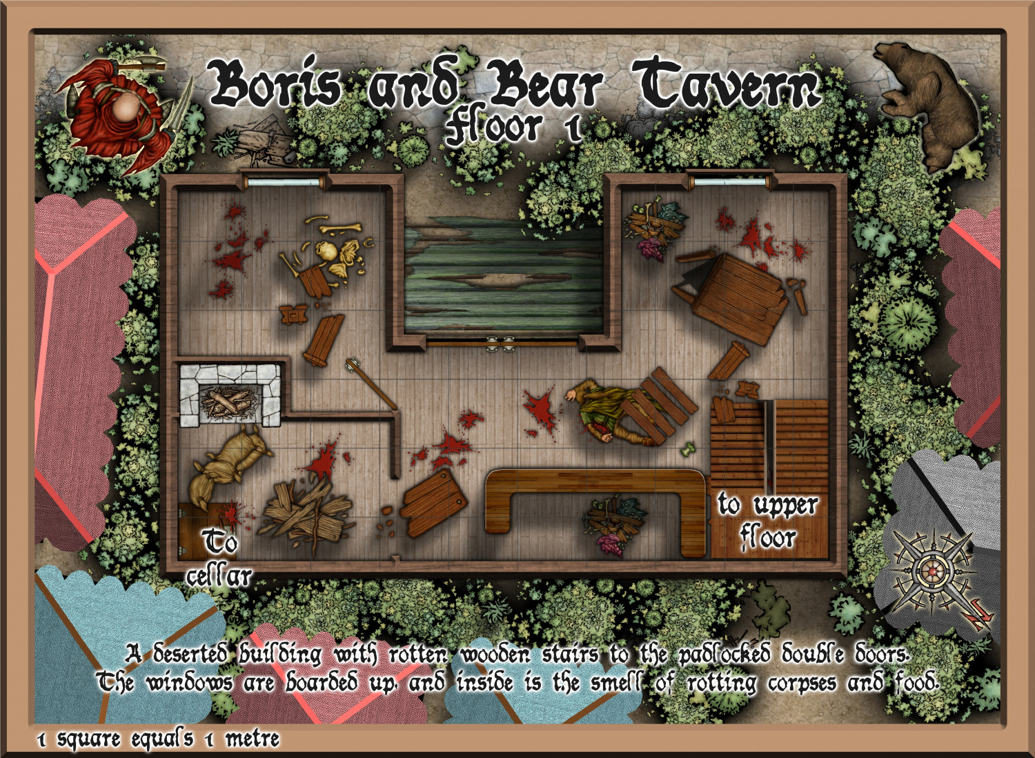
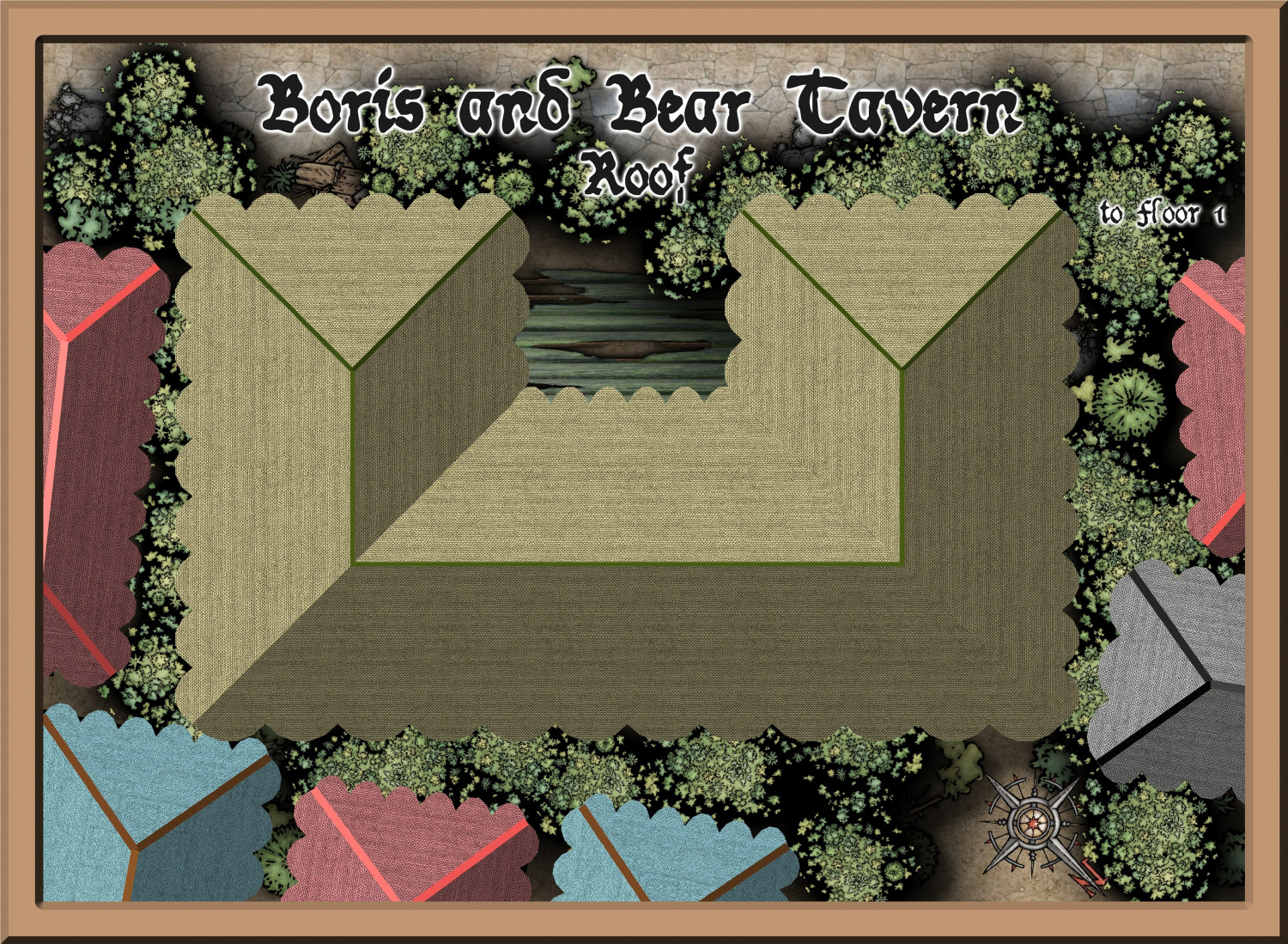
Vejorvik - Boris and Bear Tavern
This is a run down (totally wrecked) tavern in a VERY disreputable part of Vejorvik, ready for my D&D group to adventure in.
I will also make some necessary adjustments to put it in the community Atlas, in the city of Vertshusen in Ezrute, when it is finished - just 2nd storey to go.
The roof:
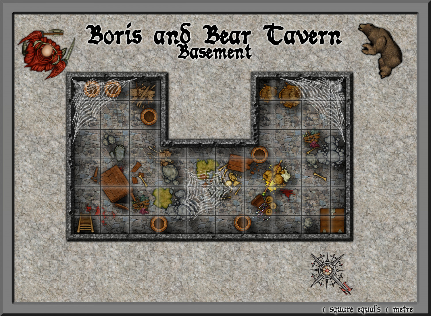
And the Players' map of the basement

-
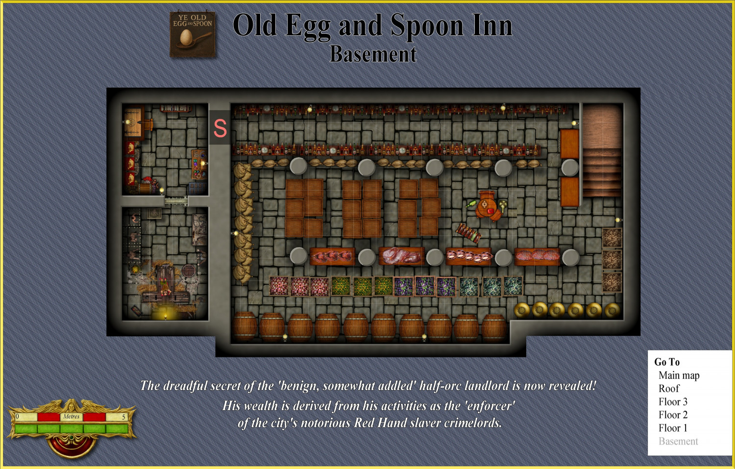
Vejorvik - Ye Old Spoon and Egg Inn
THE SECRET IS REVEALED!!!! X-RATED!!! CRIME LORD BUSTED!!! IMPEACHMENT PENDING!!!