Quenten
Quenten
About
- Username
- Quenten
- Joined
- Visits
- 4,717
- Last Active
- Roles
- Member
- Points
- 2,246
- Birthday
- November 29, 1950
- Location
- Australia
- Real Name
- Quenten Walker
- Rank
- Mapmaker
- Badges
- 15
Reactions
-
Watabou City REVISED (annual 157)
Since this great annual came out, Watabou had done heaps of modifications. And as a result, the SVG to DXF conversion doesn't work as seamlessly as before, making everything lines, and therefore unable to use the method as outlined in the annual.
I have experimented with this, and come up with the following solution, which makes everything relatively easy again.
Please try it out, and let me know if there are any bugs. Perhaps we can convince Ralf to do a revision of this.
I have also added a few of my own idiosyncrasies in the sheet naming.
This is the png of the city I generated.
I also attach the SVG for any interested.
The first most important thing is to just export as a SVG the actual elements you want and cut out all the pretty stuff. It is, after all, the street and building layout that we really want.
So ... in the generator, first check colour - make this either B&W, or Ink in the Presets.
Next, click on Style, and make sure you check or uncheck the following. Whatever I don't mention, you can choose as you wish.
- GRAPHICS: Check thin lines, leave the rest unchecked.
- ELEMENTS: Districts Hidden. Check scalebar only (if you want it, leave the rest unchecked
- BUILDINGS: Roofs plain, leave Raised unchecked. Otherwise, choose what you want.
- OUTLINE: Check buildings, water and roads
- MISC: Check Solids; Uncheck Show alleys and Show trees. I advise against choosing farms - they can be added as you wish, and I use the farms from other styles, especially where I can easily align the furrows using Shaded Polygons.
You should get something like the png above. ie B&W, no text or trees or extraneous lines.
The number of Buildings and suggested population is available on the Settlement menu:
-
Asunta Town - parchment city style
-
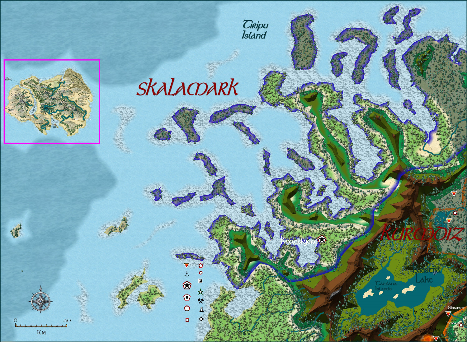
Community Atlas - Forlorn archipelago - The Bleakness, 2 villages and 2 keeps
-
Deithardt-Kolsven Region
This is the thread where all discussion on this region will now be held.
Here are three regions fairly completely mapped - the last being the least complete.
First, the 'Viking' kingdom of Kolsven
Next, the once great empire of Deithardt
With a close up of the remnants of Deithardt itself
Two nations to the north of Deithardt - Varnavna - not so complete
And Vuksatem
Finally, the least complete (what I am working on at present, East Bolasov (I had to divide Bolasov into two, as otherwise the overall map became too large - and perhaps that will make for a regional and perhaps ethnic difference - eg like East and West Ukraine).
-
Weldarmon-Gyaflaggio region
This stream will be dedicated to this region only.
I am still undecided whether to use Schley Symbols for the structures, or more generic ones, as shown here. Opinions very welcome, and in fact necessary. In places I have used both, with one or other to be removed once you all help me make my decision.
Here are a few areas already mapped out fairly completely, with the last the least complete to date.
This is THE core area, with many adventure sites already mapped and keyed in with both map and text links.
This is the whole of Gyaflaggio - not complete in the western area of the map.
These are small nations to the north of Gyaflaggio
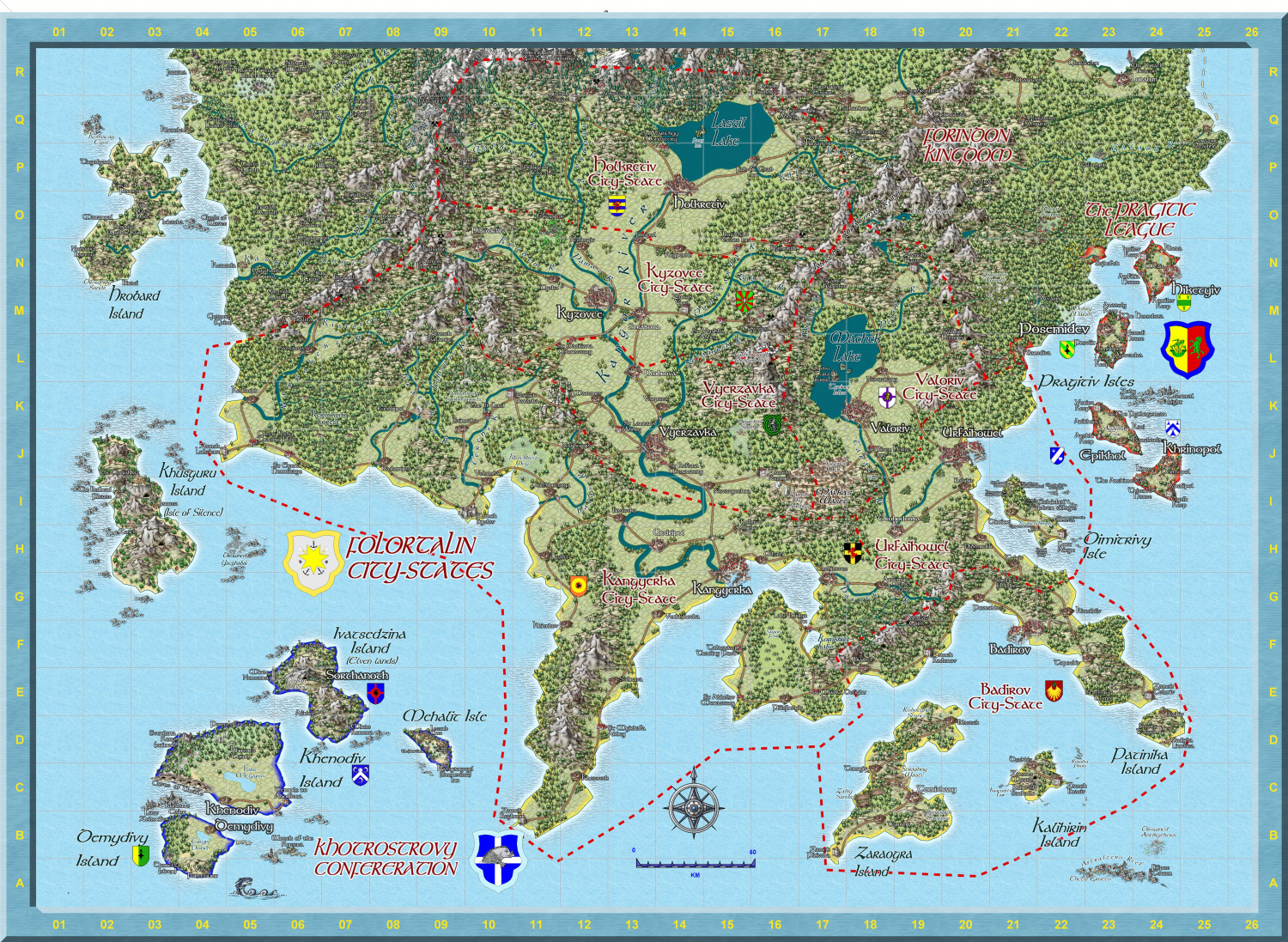
This is Western Bolasov - the least complete so far, and no use of Schley structure symbols. Comments on that please.