Quenten
Quenten
About
- Username
- Quenten
- Joined
- Visits
- 8,064
- Last Active
- Roles
- Member
- Points
- 3,090
- Birthday
- November 29, 1950
- Location
- Australia
- Real Name
- Quenten Walker
- Rank
- Mapmaker
- Badges
- 16
Latest Images


Reactions
-
The World of Falkney
Got a bit bored with my other mapping projects, so i decided to create a world, using real world Falkland Islands and Orkney. Hence the name.
Not finished, but just rivers and big cities and countries to go. Decided to set it in a Bronze age era, so not that many contiguous countries, and quite a few 'empires'. So far, Sumer in the northern continent, and ancient Egypt in the southern continent.
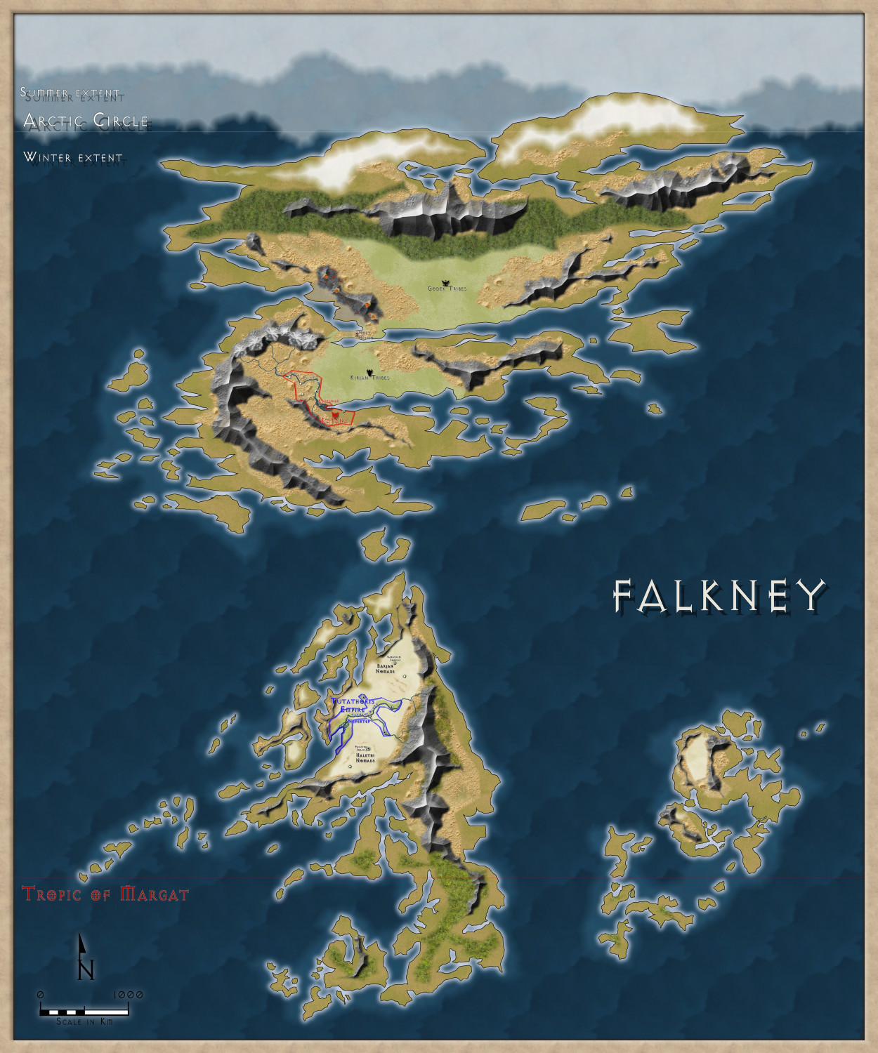
Here it is in the Gallery: https://forum.profantasy.com/profile/gallery/12400/Quenten/388


-
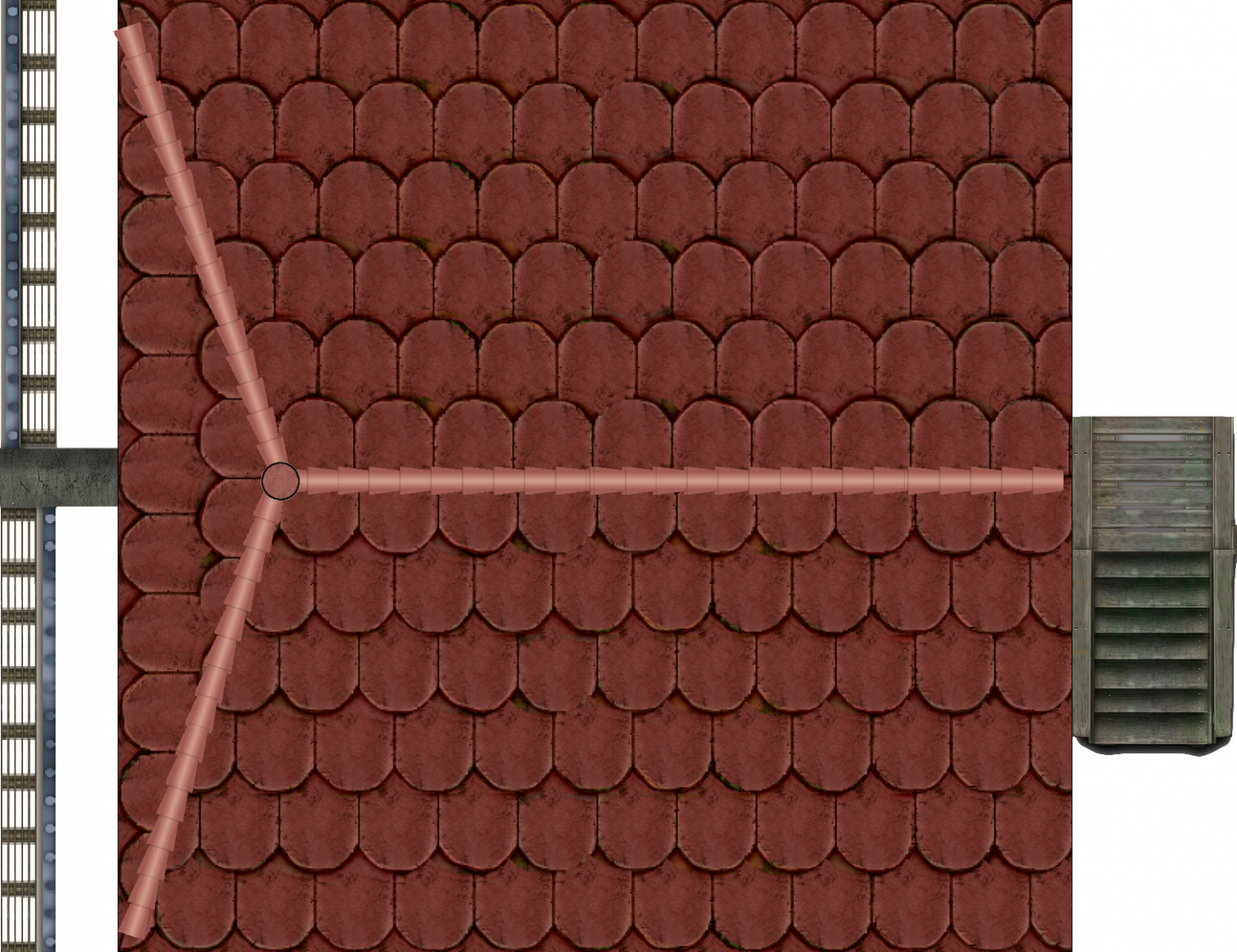
Looking for Symbols
There are also topdown mills in the Vintyri collection
eg
-
Howdy ! from Jim P
Just want to say something here, so people can get some sense of the sort of person Jim was. I am very sad today, as are his family and friends, of course. He gave so much to the mapping community here. And was always a true gentleman.


-
Jim Pierce 1947 - 2024
A very sad moment and I will miss Jim in so many ways. He was a friend to me when I needed one. We had great chats about so many things, not just cartography.
@Monsen Could we have a competition for the Atlas in the new Year in honour of Jim?
-
Starfinder rpg site, with maps
Jim is in hospice care, at his own request. I think Sue is in constant communication with his sister, as am I. He can talk and is sort of with it. I am sure that if any of you would like to write him a letter or card, he would appreciate it. The address to send any mail is
Jim Pierce
c/o 2955 Gladden Lane West
Alexandria
Alabama 36250
USA
His sister feels that contact with people from his hobby would help cheer him up. I have received permission from her to give out this address.