Quenten
Quenten
About
- Username
- Quenten
- Joined
- Visits
- 7,215
- Last Active
- Roles
- Member
- Points
- 2,865
- Birthday
- November 29, 1950
- Location
- Australia
- Real Name
- Quenten Walker
- Rank
- Mapmaker
- Badges
- 16
Reactions
-
[WIP] Haunted Mansion
I appreciate the reflection of the stained glass windows shining OUT from the church at night, when the light is from inside, but in the day, the reflection is to the INSIDE of the church, because of the superior power of the sun's light. First hand experience as organist and choirmaster at my father's church in Stdney.
-
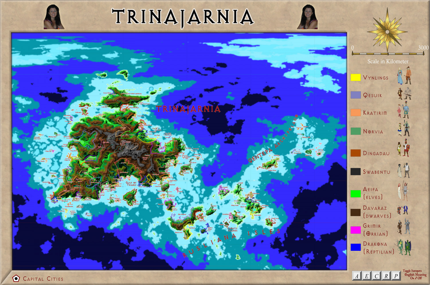
Trinajarnia
This is a revision of a continent in a previous world I started. I think this will be my main project. The main land mass is about 25% bigger than Australia, and extends from the arctic north to the tropics. And has all biomes represented.
I have already started on smaller areas.
All the names mean something in English, but I have used various languages (via Google Translate) to represent the various ethnic groups, eg Ukrainian for Kratirim, Icelandic for Vynlings, Georgian for Dwarves, Hungarian for orcs, Persian for reptilians, Irish for Elves, Italian for Norvians, Swahili for Swabentu and Maori or Yamatji for Dingadau.
All the 'civilized' nations are marked in with their capital cities.
A larger version is in the Gallery.
-
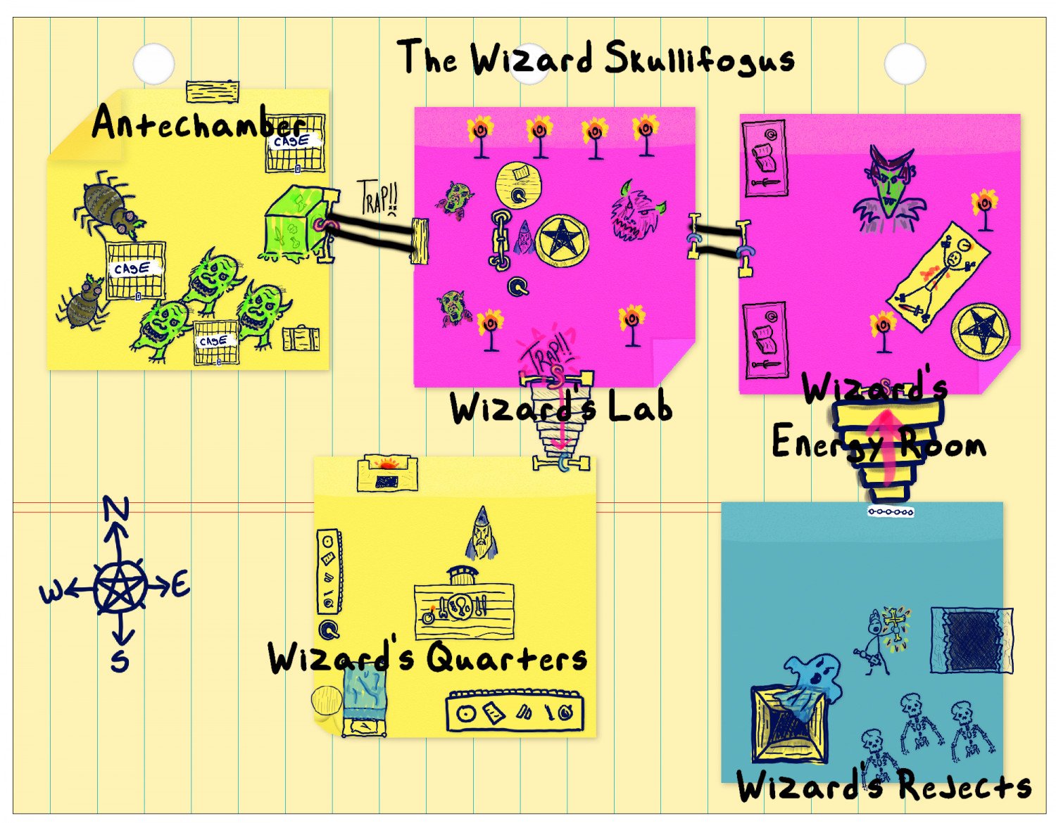
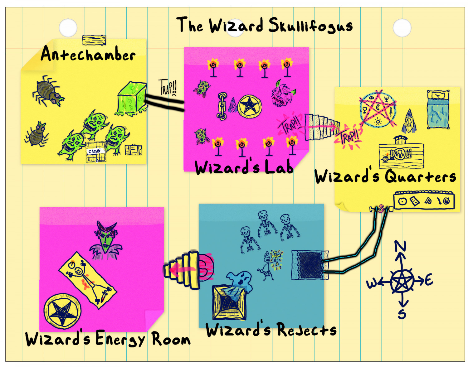
Sticky Note Dungeon - the evil Wizard Skullifogus
-
Sticky Note Dungeon - the evil Wizard Skullifogus
-
Sticky Note Dungeon - the evil Wizard Skullifogus


