Quenten
Quenten
About
- Username
- Quenten
- Joined
- Visits
- 7,194
- Last Active
- Roles
- Member
- Points
- 2,859
- Birthday
- November 29, 1950
- Location
- Australia
- Real Name
- Quenten Walker
- Rank
- Mapmaker
- Badges
- 16
Reactions
-
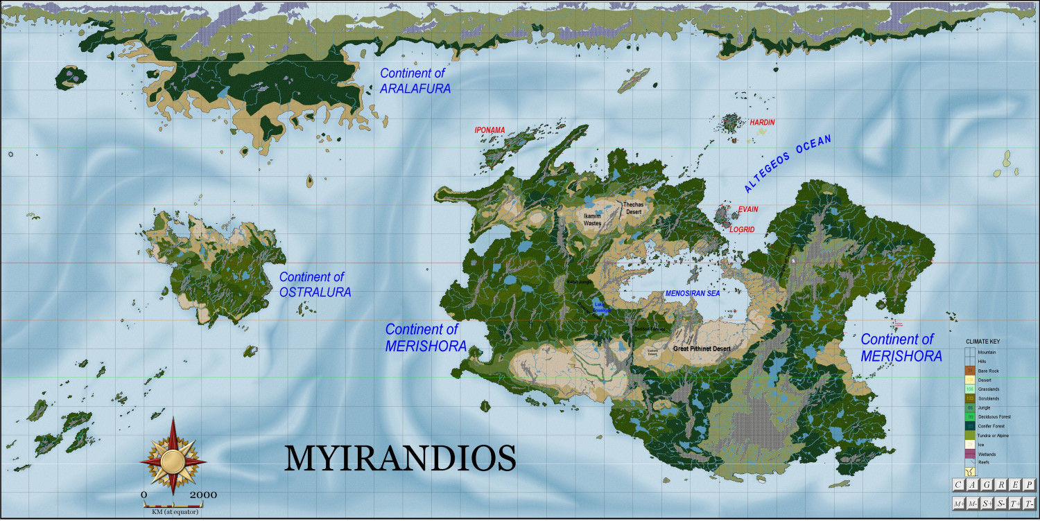
Myirandios in the new Birdseye style
-
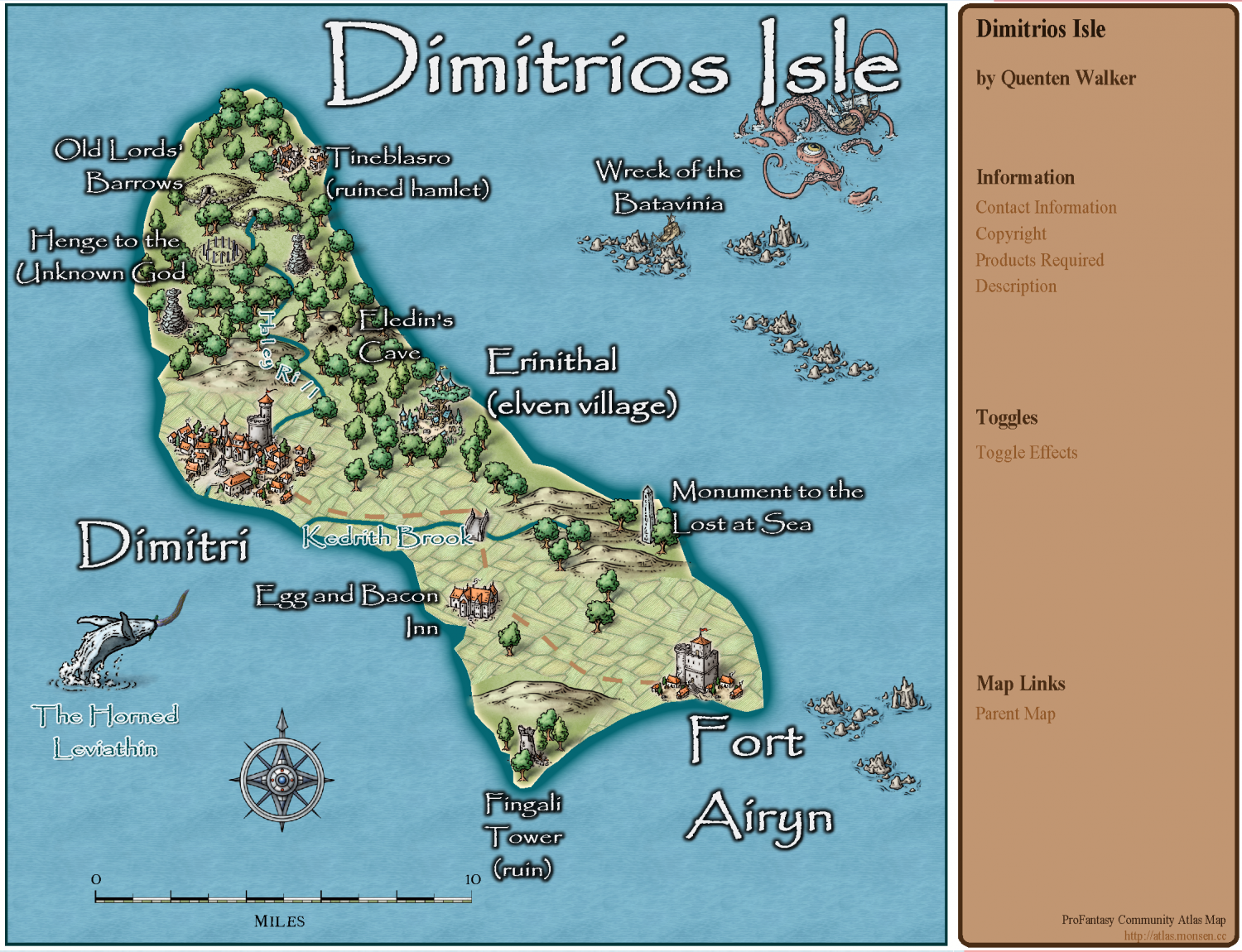
Community atlas - Tombs
-
What's your favourite overland style?
As far as fills go, (not taking symbols into account), my favourite is clearly Spectrum. Schley has Some nice fill, others not so. I do like toe forest fills in 13th Age.
But regardless, I think my clear favourite author of fills is Sue's - all her creations have wonderful fills.
My only real request is that all biomes be represented, and several options for each - as she has done in the Spectrum particularly with deserts.
Sorry Sue about talking about you in third person, but I wanted everyone to know exactly who I was referring to.
-
What's your favourite overland style?
@Calibre, I am 100% in agreement with you about Herwin Weilink. If only the Jon Roberts had many more symbols and fills, it would be my favourite, but in the meantime, it is Mike Schley, though it needs many more fills (and better ones).
With Spectrum coming close second - again, it needs heaps more symbols though the fills are tremendous. I am super excited thet the author of that style is now going to do the main style of CC4.
-
What's your favourite overland style?


