


Quenten
Quenten
About
- Username
- Quenten
- Joined
- Visits
- 8,061
- Last Active
- Roles
- Member
- Points
- 3,088
- Birthday
- November 29, 1950
- Location
- Australia
- Real Name
- Quenten Walker
- Rank
- Mapmaker
- Badges
- 16
Latest Images


Reactions
-
[WIP] Villa Citri (Roman-style villa)
Guards' House should be custodum Domus; The plural of Stable is Stabulae. Love the design.


-
Advice for planning a major city?
As a person who has done a big city with vectors, i can certainly say vectors are slower the bigger the city gets, whereas using pngs means the map has a pointer to that symbol just once, no matter how many times you use the symbol.


-
WIP: Bleakmoor Harrow - Continent of Estonisch
Oh, what a dill I was. I didn't realise you were being ironic. It is so sad - and stupid - what we are doing to the major forests of the world. And in a way, what you have done is good- it highlights what we have done to kill off this world.


-
WIP: Bleakmoor Harrow - Continent of Estonisch
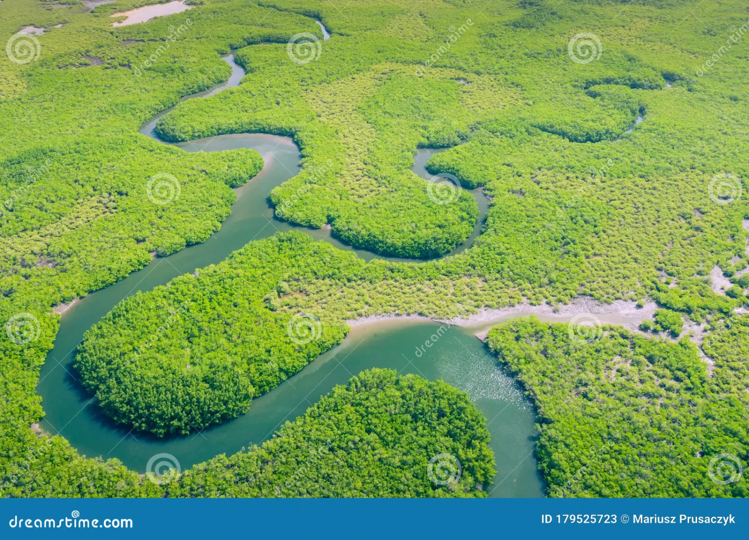
OK, then if that is the case, nothing needs changing - though perhaps the open areas need explaining. Google maps shows the true density of the Amazon, and the open spaces are either economic activities or settlements or tribal lands (though the latter are also quite densely covered with forest).
This is just one aerial view of the Amazon - so if anything, your jungle is less dense!!! LOL

-
Is there a runic font?
That is exactly what Explode Text does, but it makes editing them more difficult. SO make sure you get it right before exploding. I did that in the Atlas Magumul Empire of minotaurs in the north-western part of Artemisia.
https://atlas.cdn.monsen.cc/atlas/artemisia/hi/magumul%20empire.png
