

Calibre
Calibre
About
- Username
- Calibre
- Joined
- Visits
- 1,367
- Last Active
- Roles
- Member
- Points
- 965
- Rank
- Mapmaker
- Badges
- 8
Latest Images
Reactions
-
City Cliffs - Incorrect Textures and other problems.
I did, thanks, Sue and Ralf fixed.
thanks
Cal


-
Regular poly vs Irregular (shape)
Thanks again, everyone.
Because of Sue and Ralf, I will keep the original shape. It's just my OCD kicking in again. 😁
thanks
Cal

-
Trying to salvage a very old map....
Umm, should I explain how I did this, you think, Ms. Sue or anyone?
I'm not sure it would be helpful or redundant 😁
I've often wondered if anyone would like to know how I do my maps. Only Dak has expressed a brief interest and I got that post late so felt it would be pompous to answer well after the fact heh heh.
So, I'll just put this out there: if you want the FCWs of any of my maps, I'd be happy to oblige. Or, any explanations, etc.
thanks
Geoff

-
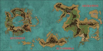
WIP: Now, for something completely different...
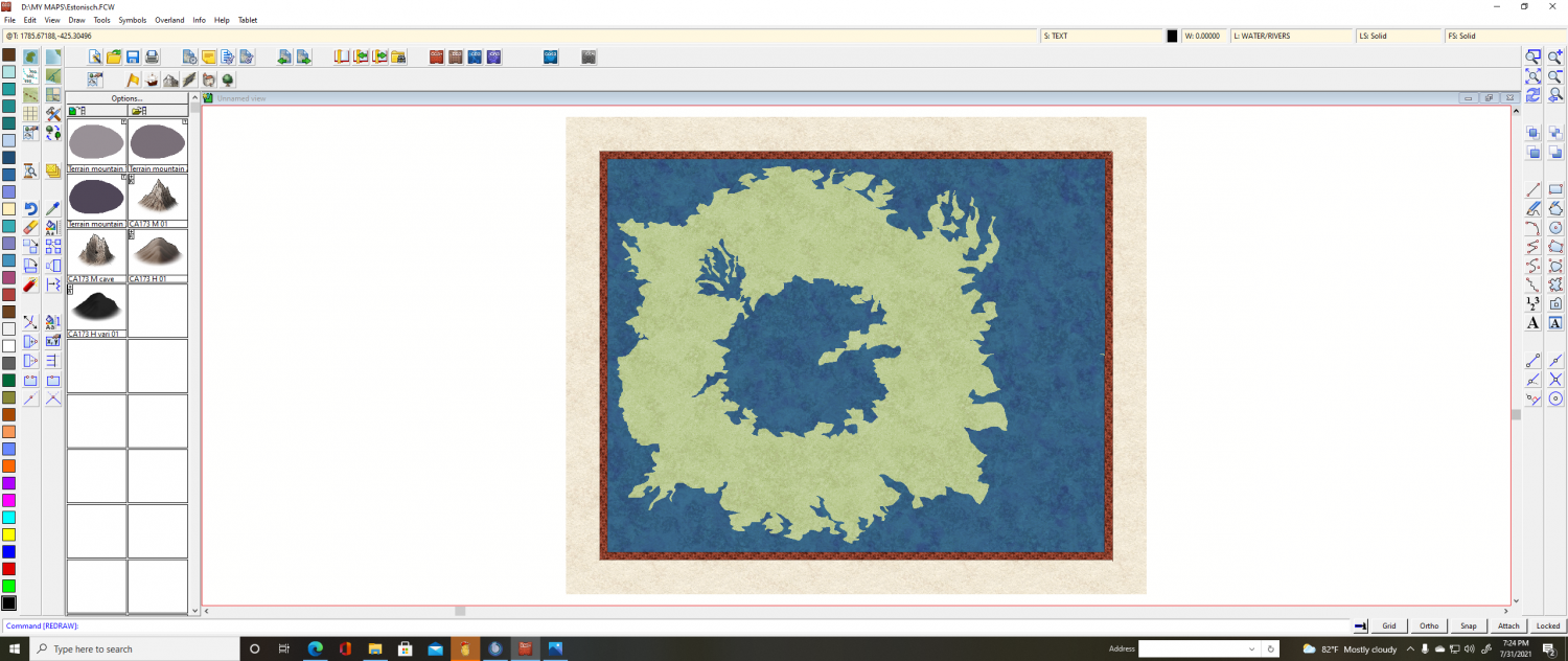
Estonisch is a continent of strange magick on the world of Arcandus. It lies behind extraordinary Bounds of Flux. These are varying barriers of essaence which alter the thrust of the Power. Mages from other continents who come here will realize that their powers alter, their arcane knowledge is not what they thought it was. What they relied on, is no more. Instead, only elemental magick operates on Estonisch. This is an ancient land of mystery, elemental power, and destruction and remaking on an epic scale. Its history stretches back aeons and its future is uncertain as the denizens battle age-old evil and political wars.
Cal

-
WIP: Now, for something completely different...

-
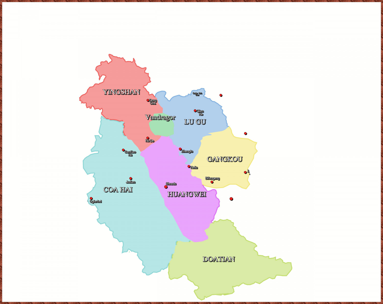
WIP: New Map, New Issues...
The Borders:
![[Deleted User]](https://secure.gravatar.com/avatar/c75d9a245b74d9c59be0999ea81ca541/?default=https%3A%2F%2Fvanillicon.com%2F92add7f8c954488718110edc4896ad39_200.png&rating=g&size=200)
-
What I've been working on
Updated version:
I'll do the no effects asap...
Cal

-
Troy Map for Game
Thanks, everybody.
It's post-apocalyptic Earth set in the US. GM is using 5E rules for it. Basically, the Solar System has entered a region of space where the laws of physics have changed so that magick works, supernatural creatures exist and so on. Fun, so far heh heh.
thanks
Cal

-
What games do you use ProFantasy to create maps for?
AD&D various editions, RoleMaster various, and GURPS.
😁
Cal

-
WIP: Local Map Ice Caves Exterior
The scale follows the tome: width/1000 and is automatically set. For Local Maps (which I am calling Area Maps) it says new map width/old map width. There is no old map ?
This is the first problem. The scale of 0.05 (auto set by CC3+ but also equals Remy's formula) is perfect for trees, ridiculous for mountains. Besides, I need to see the entirely of the terrain and placing mountain symbols would obscure too much of the area. So, I am going to have to draw the contour lines. This, then, is my question. How best to do this?
Things I've tried:
1: Draw out each contour area as polygons and each with it's own color.
2: Draw out each contour area as polygons and all of the same color.
3: Draw paths and try to edit the widths of the paths.
Each of the attempts was kinda meh.
What do you guys think?
thanks
Cal
PS: Oh, almost forgot. I saw on the forums a mapper draw and print out a huge map with contours used for military strategy game, I believe. I can't find it and in any case, I don't recall him explaining how he did it heh.

