


Loopysue
Loopysue
About
- Username
- Loopysue
- Joined
- Visits
- 9,992
- Last Active
- Roles
- Member, ProFantasy
- Points
- 9,868
- Birthday
- June 29, 1966
- Location
- Dorset, England, UK
- Real Name
- Sue Daniel (aka 'Mouse')
- Rank
- Cartographer
- Badges
- 27
Latest Images


-
[WIP] Greco-Roman Inspired Temple
Another way to deal with redundancy like that is to add a couple more sheets with Edge Fade, Inner sheet effects on them and draw irregular patches of different grass textures on them.

-
Best ways to use stairs (Mike Schley Dungeon style)
It's very much a personal thing, and because of that you may or may not find this png useful depending on what you decide to do. It's a gradient shadow that you could use to make the 'down' appearance of the down stairs more obviously 'down', though it may have the result of making the up stairs look a bit flat.
As for leaving space for the landing - that again is up to you. I have a personal preference for the second image, but other's may disagree.

-
Live Mapping: Local Area Overland
Hi everyone! :D
This week, Ralf will be using an older Annual style by Pär Lindström to create a local area overland map. Come and join us live on YouTube to join in the chat here:
https://www.youtube.com/watch?v=FMKFaFqSkew
Or you can watch it here on the forum, though there's no live chat here.

-
This file won't save properly with the upper land mass
I don't think the polygons were outside the edge of the map. The entities I deleted were symbols, I believe. You can paste symbols anywhere, and it's easy enough to do. I've found trees and mountains and all sorts in strange places where I must have mis-clicked at some point.
EDIT: The SCREEN is to hide the bits of symbol that stick out when you paste symbols on the edge of the map, or when you deliberately draw polygons outside the edge to counteract an Edge Fade, Inner sheet effect. It doesn't chop things off, but only covers them up. You will see what falls outside the edge if you zoom to extents and hide the SCREEN sheet.
EDIT2: The drawing tools used to draw things like land and terrain are often limited to the map border, which usually coincides with the inner edge of the screen. However, you can override that behaviour where you want the polygon to go over the edge.

-
This file won't save properly with the upper land mass
Thanks - it was a team effort. Remy (Monsen) found the sheet before I got there :)
The issue would seem to be one or more of the nodes that were deleted by SIMPLIFY, though quite why CC3 didn't like those particular nodes is unknown.
SIMPLIFY is a keyboard command. If you type it and hit enter, then read the command line you will see CC3 prompt you for a distance. This distance is the minimum distance you want between the nodes of your line or polygon. So if I'd typed "10" and hit enter a huge number of nodes would have vanished from that polygon and none of the remaining ones would have been closer than 10 map units.
The reason I tried zero first was to preserve the drawing the way you wanted it if possible. If it hadn't worked I might have tried 0.1 next.
-
This file won't save properly with the upper land mass
Remy identified the TERRAIN WASTE sheet, and in particular that topmost polygon of it. I used SIMPLIFY on that one poly with the distance set to zero, so that it only removed nodes that are exactly right on top of one another. I then had to put the top left corner of that poly back in.
There were also a couple of stray symbols way off the map bottom left. I just deleted those.
You can probably do this yourself anyway, but in case my success was a fluke here is the FCW
-
This file won't save properly with the upper land mass
No, there's no Discord that I know of.
The best technical help is more available on the forum right here, where it's also possible to upload many more file types and much larger images than on other platforms.
There is an FB Group, but you will have to answer the questionnaire before you are accepted.
-
It there a way to turn lights off?
Hiding the sheet the lights are on should deactivate them, so you could set up more than one LIGHTS sheet and split the lighting between those sheets to be able to have different lighting setups.
If you want to deactivate lighting, theoretically it's possible by opening the Global Sun settings (in the right click menu of the sheets and effects button) and turning the shadow transparency up to 100%.
-
WIP - first crack at a larger scale city
If you don't like the water texture in that style you could try importing an alternative water texture from another style. It's probably going to be preferable to using blurs on the existing one.

-
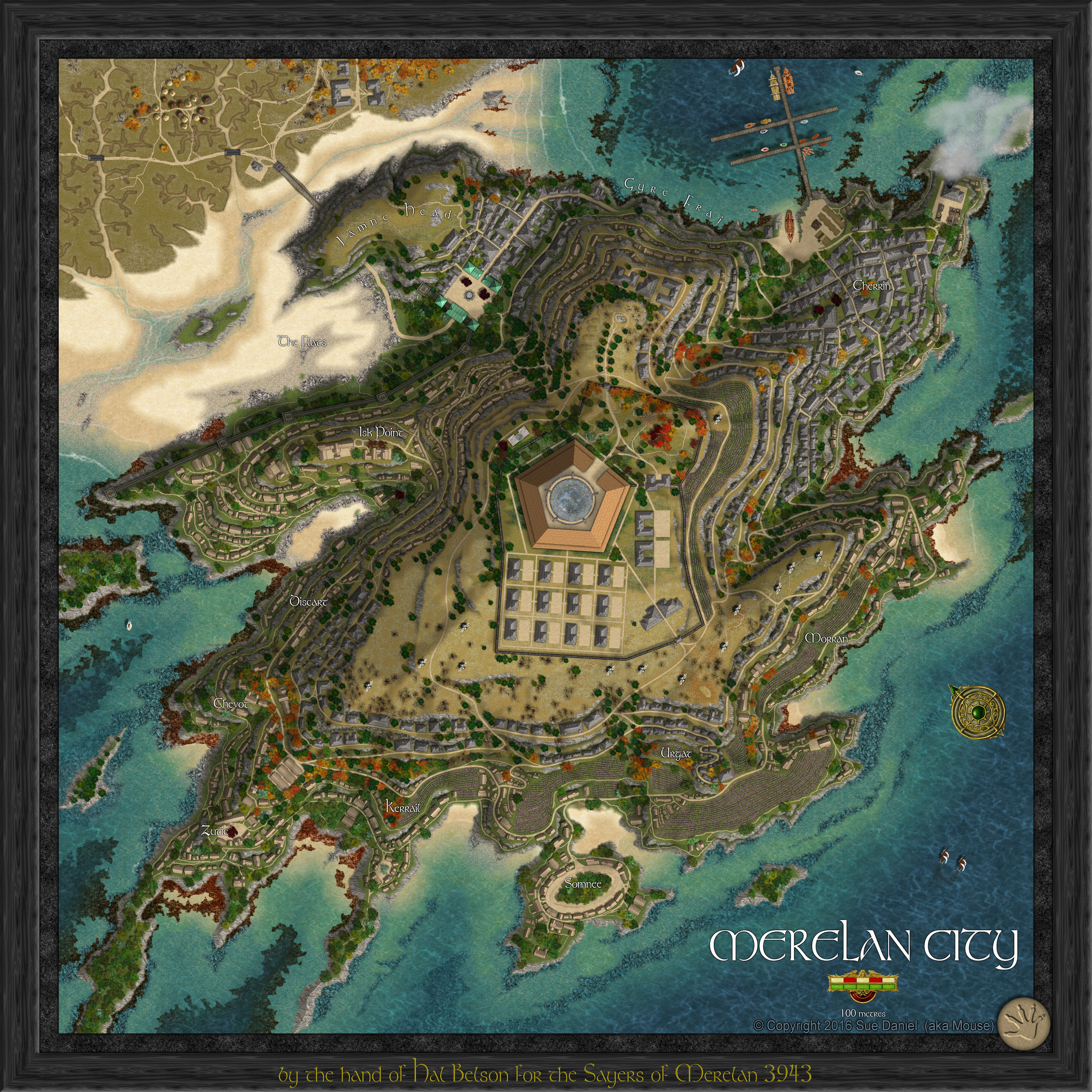
Creating greater depth
That was Merelan City, and the thread is hugely long and would take about a year to read.
But to answer your question succinctly - yes each tier was smaller like a very steep hill. Each tier also had it's own set of subsheets so that the roads and buildings for each tier were 'on' that tier. I think it has about 135 sheets in all. The export is too large except in my album here, and the FCW has too many unpublished textures in it to be of much use.
