


Monsen
Monsen
About
- Username
- Monsen
- Joined
- Visits
- 660
- Last Active
- Roles
- Administrator
- Points
- 8,858
- Birthday
- May 14, 1976
- Location
- Bergen, Norway
- Website
- https://atlas.monsen.cc
- Real Name
- Remy Monsen
- Rank
- Cartographer
- Badges
- 27
Latest Images


-
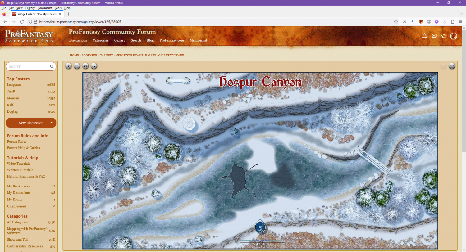
Changes to the Gallery Image Viewer
Made another tiny change to make the the forum fill the full browser width when the image viewer is loaded. This doesn't make sense for regular forum posts, because it is really hard reading texts that have lines as wide as a wide monitor, but for the image viewer, it made for a much nicer initial landing page, making it much nicer to use without having to go full screen (of course, full screen is still the nicest view of them all, and highly recommended on mobile devices)


-
SS6 - Northern Scar: Village of Orin
And here we go, now part of the atlas. Thanks Shessar.


-
August Mapping Competition - The Results
And here's @Maidhc O Casain's entry added to the atlas:
-
About map printing
The only difference between regular image exporting and rectangular section is that after you have clicked save in the save as dialog, instead of starting the export immediately, you will be prompted (on the CC3+ command line) to pick two opposite corners of your export (by clicking your mouse in the drawing or typing in the coordinates, either works). CC3+ will then export only the parts that is within the area defined by those points instead of the entire map.
The export process is explained in detail with images in the user manual, starting on page 47.

-
CD3: Advanced Street Settings
The only way is really to just load them up in the house style editor [HOUSEOPT] and look at them one by one.
To quickly look through them without clicking yourself to death, take advantage of the fact that Windows GUI components are keyboard friendly. Simply use the top dropdown and click on the very first style in the list to select it and collapse the list, then as long as you don't click any other controls, it will be the active control, and you can go through the styles using the arrow keys.


-
August Mapping Competition - The Results
This time @Jeff B's entry, The Jenin River Whiskey Distillery have been added:


-
JPG Fill Different from Editor
This happens if the fill style doesn't have a specified scale in the fill style dialog.
Just open the Fill style dialog (FS: in top right), go to the bitmap files tab, find your fill in the dropdown, enable the scaled checkbox and provide appropriate values for the scale. Some experimentation may be needed.
Once a fill is scaled, it should always fill the same area no matter the zoom or export level.


-
Live Mapping: The Silver Mine
This Thursday's session at 18:00 CET, Monsen will dig out SS4 and Munsons Mines and go dig a little silver mine into a mountain somewhere.
Find your local time and enable notifications by visiting the YouTube video below.

![[Deleted User]](https://secure.gravatar.com/avatar/c75d9a245b74d9c59be0999ea81ca541/?default=https%3A%2F%2Fvanillicon.com%2F92add7f8c954488718110edc4896ad39_200.png&rating=g&size=200)

-
HELP - My houses are a single color block, still pretty new
Your buildings have entities on the wrong layer. This is probably caused to how the random building/street command works. The correct layer is set when the symbol catalog is loaded, so if it changes after that, it can cause issues with this command. It can be worth checking that the correct layer is set every so often.
Fortunately, it is easy to fix.
To fix it for future placements, simply change the layer shown in the status bar to one of the city demographics layers; the ones named BLDNG (XXX).
To fix buildings already placed in the map, either simply delete and recreate them, or use the Change House Layer command found in the City menu on them. Note that after selecting the buildings and Do It, the command line will prompt for a layer. the easiest is to right click inside the map to get the layer dialog, then pick the appropriate demographic layer, hit OK, and when back in the map, hit the refresh button to update the display to actually see the change.
-
Community Atlas 1000th Map Competition - The Winners
Finally was able to process a few more maps. This time, it is the contributions from @cyrion , @Quayuazue and @Mathieu Gans .
Thanks for contributing.


