Ricko Hasche
Ricko Hasche
About
- Username
- Ricko Hasche
- Joined
- Visits
- 4,085
- Last Active
- Roles
- Member
- Points
- 8,039
- Birthday
- February 7, 1977
- Location
- merlo san luis argentina
- Rank
- Mapmaker
- Badges
- 20
-
A1 Inn and Stable Battlemap
Of course, the U-turn in this case of 10x5 is possible, although "complicated" depending on the size of the animal... but they are not there on vacation and where they sleep... it is possibly better than most places where travelers sleep in this world of pain and uncertainty.
But, as I said, this is a (temporary) inn stable and not a farm shed - which in this world would surely belong to a noble or high merchant with enough money to build a very large building.... all this to house only 8 animals maximum = 4 rooms of 10x10 on each side + corridor at least 5 feet wide - recommended would be 40x25 minimum space... I see a lot of GP there that most inhabitants of my world... a dirty and miserable medieval would see this stable (ideal) as a nobleman's mansion by his own standards.
-
Frozen Wasteland
-
Castle in a Cloud
Hy @JimP !
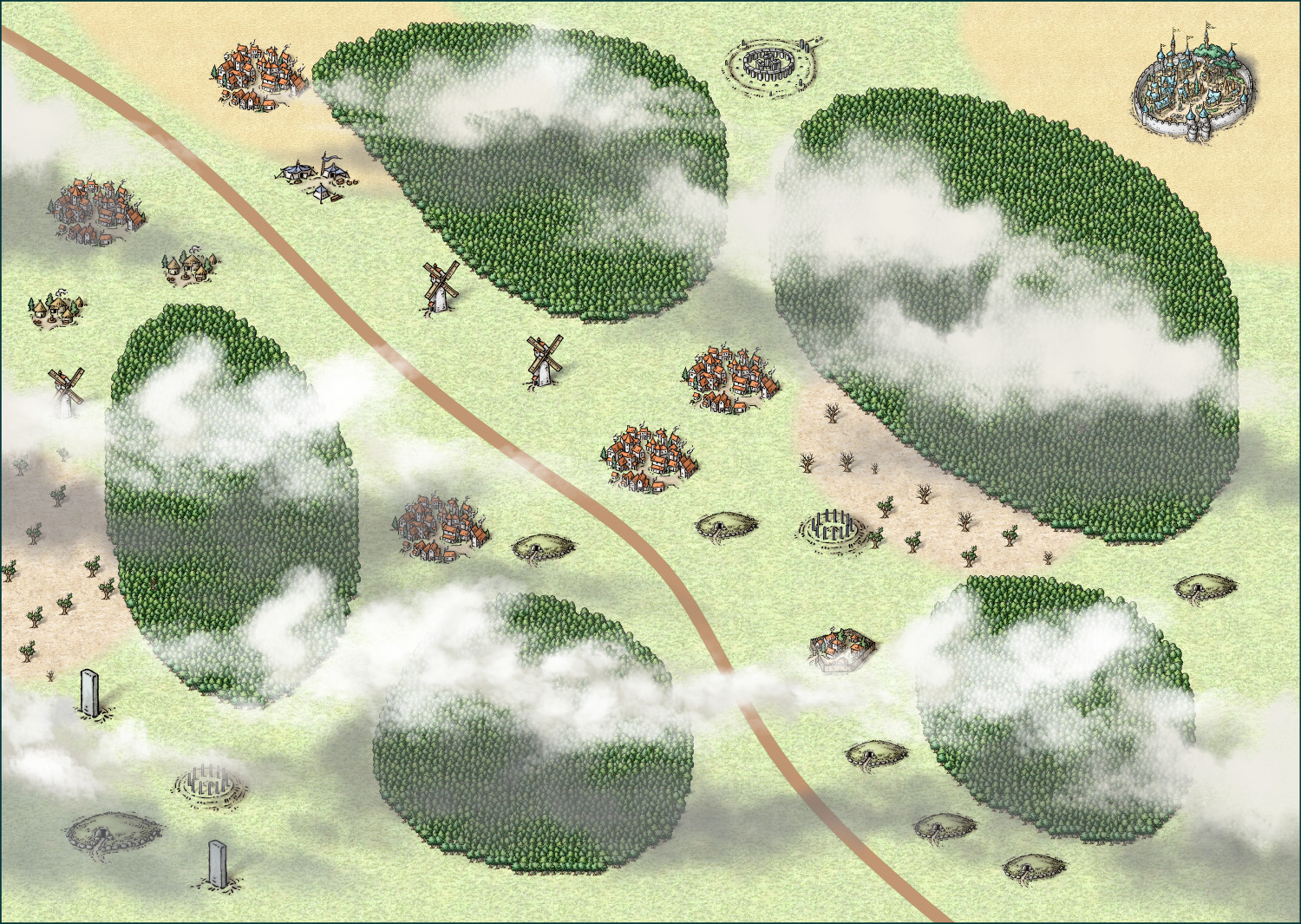
I typically use alycia clouds in horizontal orientation in my maps. I always try to vary their size and also, in some cases, use more than one image to make a larger cloud.
Normally i choose placing them to cover free spaces but without disturbing the necessary parts of the map.
After finish the clouds you can put your names with contrast in the glow to stand out over the clouds.
-
MY MUNDI IS READY!
-
Sheet Effects stop working consistently
I always start with the mountains when I make my maps. Some styles trees and icons go on the same Sheet = SYMBOLS, in other styles, for example Mike Schley, the trees always go on the SYMBOLS TREES sheet. This initially makes it difficult to "place symbols behind the mountains", so you can create symbols back or symbol trees back to automatically position them behind and give better depth to your drawing.
https://forum.profantasy.com/discussion/12585/working-fast-kinda-tutorial#latest
-
The Lands of Strauvuvrorr
-
New user from the Netherlands, nice to meet you all!
-
Community Atlas - Irisian City States - Dimitrios island
-
floathing Island and Babel Tower style city
Some time ago I made a "similar" image. Due to the absence of floating islands in the CC3 images, I also inverted a mountain for this purpose.
-
Community Atlas - Berenur - Urtrah Desert
I understand your point of view and thank you very much for the suggestions.
I also consider that distances on maps, especially "medieval" ones, are anything but accurate, since at that time there was no geolocation. :D
Having a scale that indicates approximately how many kilometers are from one point to another is valid, but disregards the distance variables such as the number of curves, ups and downs that demand the relief and that directly influence the final distance. that is, one way or another the distance will never be exact. an example of this are mountain scales, it shows the physical distance from point A to B, but the complexity of the relief will directly influence the final distance, since more zigzag will be needed to cross the mountain.
since I was little I use these rpg story maps as references that don't influence my story much if city A or B is 53.7 kilometers or 64.9. This difference of approximately 10km represents approximately 1.5 hours of walking and does not change the total context of the story. normally I would take a ruler and measure the scale, then measure point A to B and convert to distance. added 15% more distance (through the curves) and divided by 30km/day = so many travel days.
not using the grid above all, and only below the cartoons and text is a matter of personal aesthetic choice.
for example where I live, it is 800 meters above sea level and the top of the mountains is 2200 meters. by the scale of a medieval map it would be only 1.4 kilometers of ascent, but the path to the top is 18 kilometers only to climb on one side, on the other side of the mountains there are approximately 60 kilometers of lowland and on the google earth scale they represent only 12 km.
As Sutat now have sheeps with shadows 🤣


