Ricko
Ricko
About
- Username
- Ricko
- Joined
- Visits
- 6,740
- Last Active
- Roles
- Member
- Points
- 10,565
- Birthday
- February 7, 1977
- Location
- merlo san luis argentina
- Rank
- Mapmaker
- Badges
- 22
Latest Images
Reactions
-
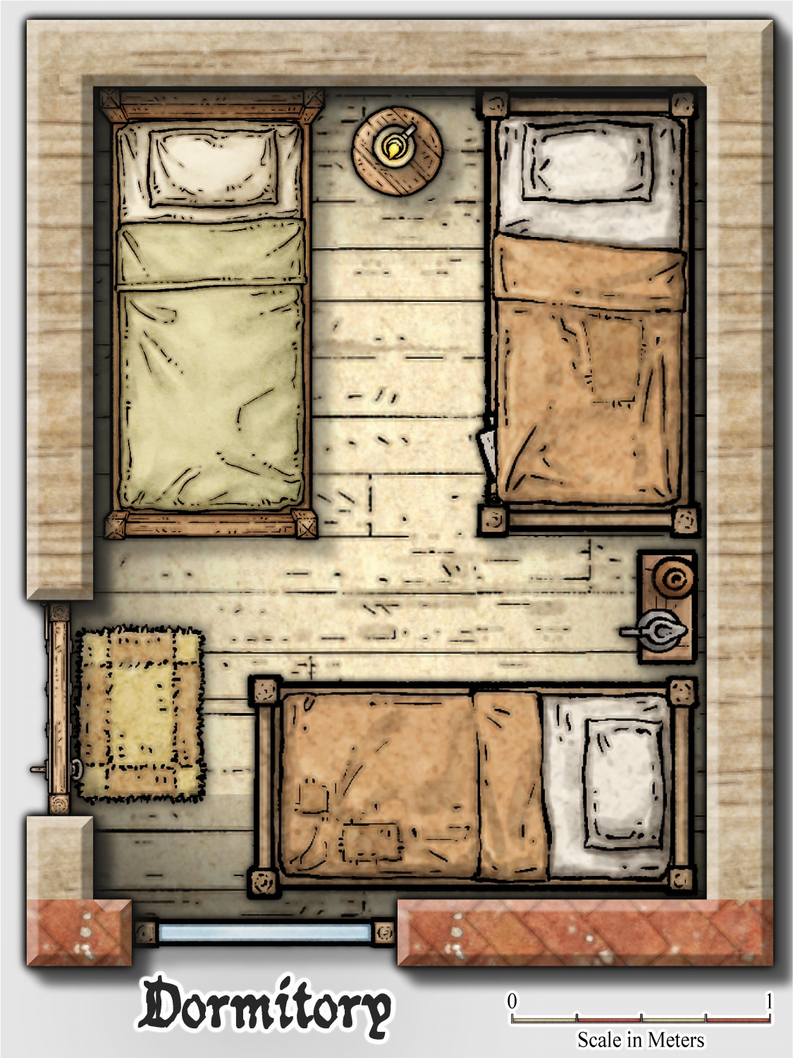
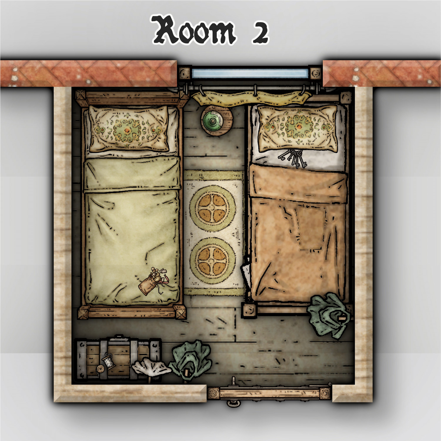
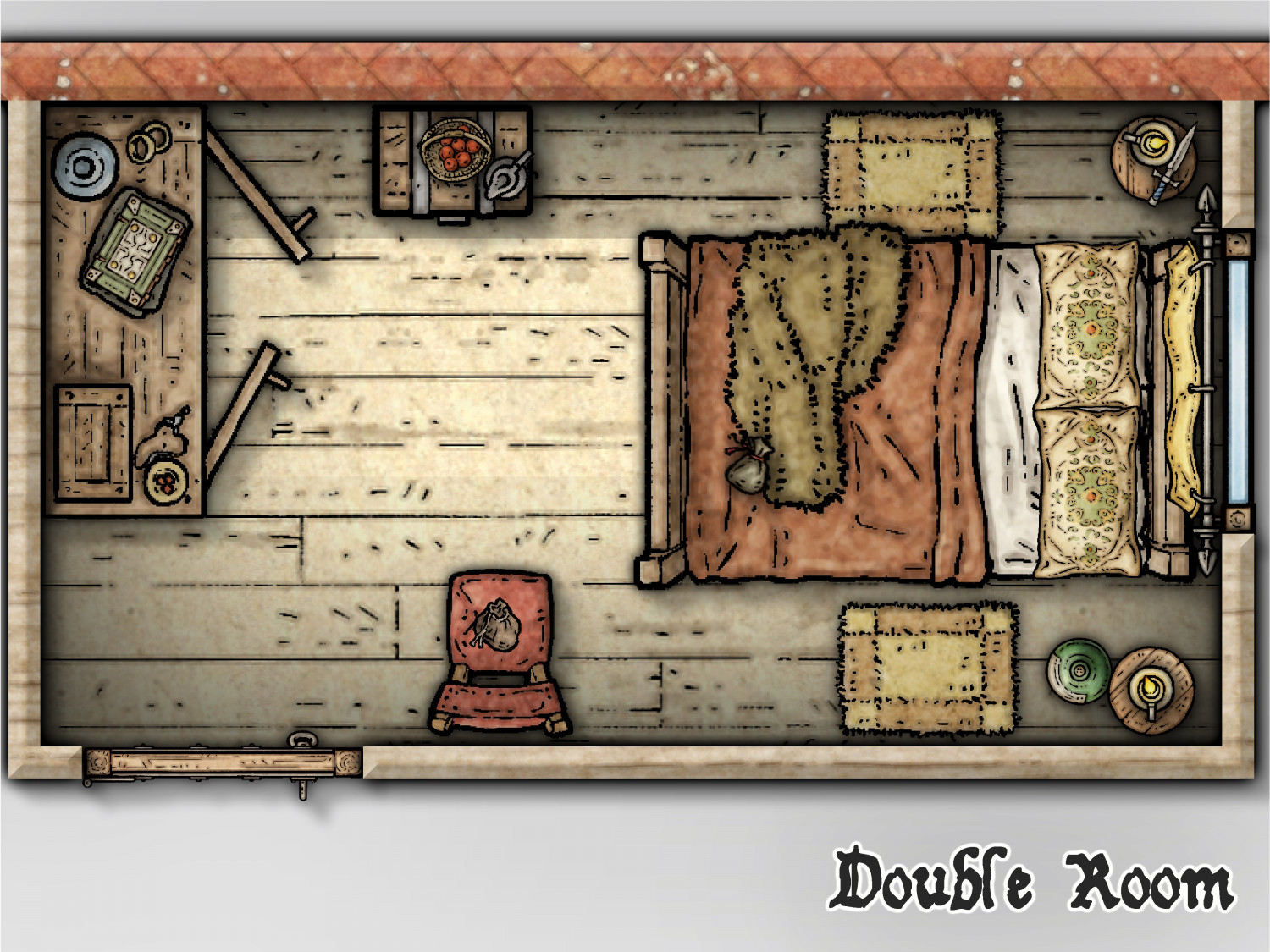
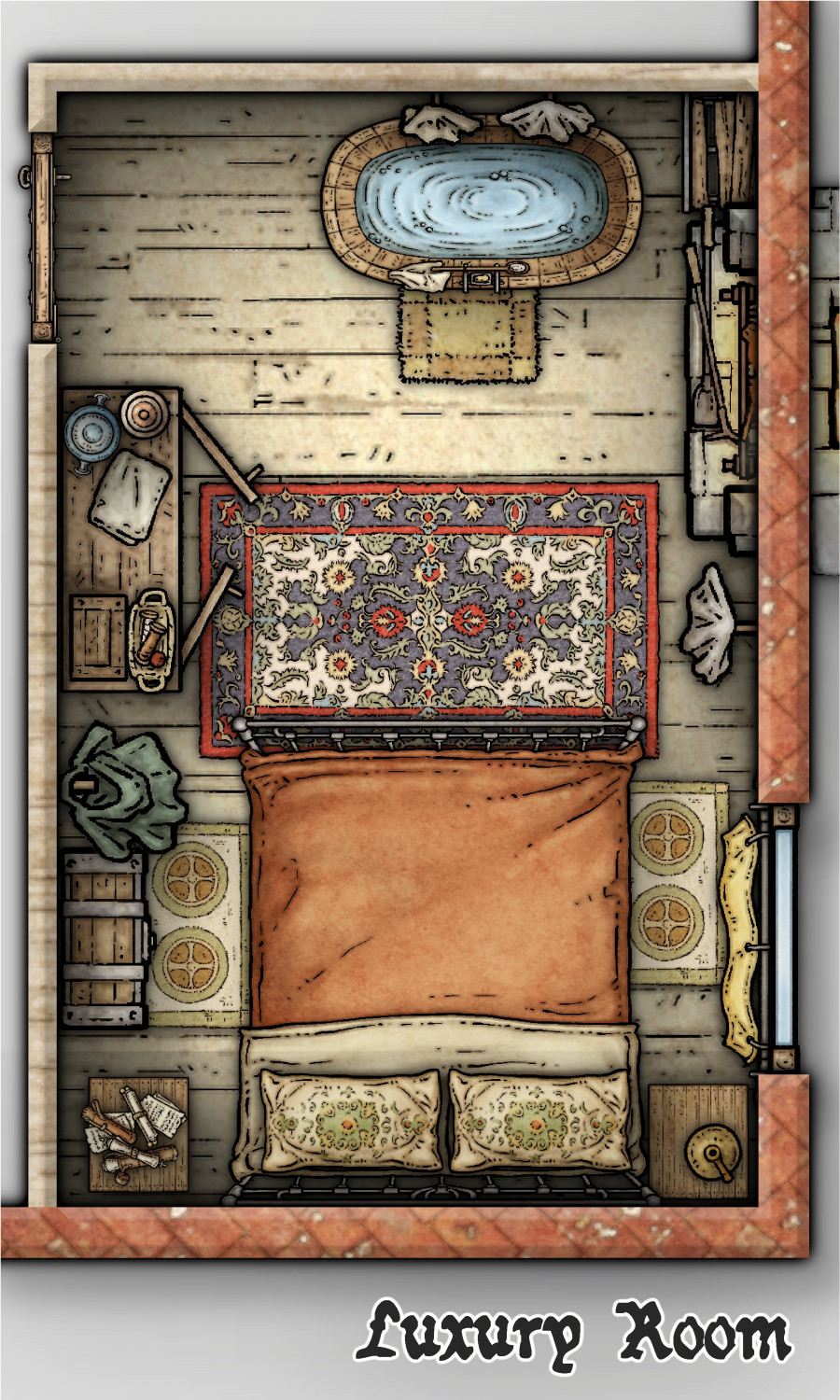
Community Atlas - Torstan Holy District - the Frog Tavern - a joint collaberation
-
Community Atlas - Torstan Holy District - the Frog Tavern - a joint collaberation
-
Community Atlas - Torstan Holy District - the Frog Tavern - a joint collaberation
-
Community Atlas - Torstan Holy District - the Frog Tavern - a joint collaberation
-
Community Atlas - Torstan Holy District - the Frog Tavern - a joint collaberation
-
[WIP] The Candle & Kettle Inn in the village of Mapleford
This is great stuff II! The small village reveals itself as pleasing to the eye, with a harmonious arrangement of houses set at non-rectangular angles, giving the scene a peculiar charm. The careful choice of colors for the different parts of the painting brings a vibrancy that enriches the composition. Varied details are distributed throughout the image, capturing the eye and encouraging exploration of each sector, providing a dynamic and engaging visual experience.
The same is true for the interior of the tavern.


-
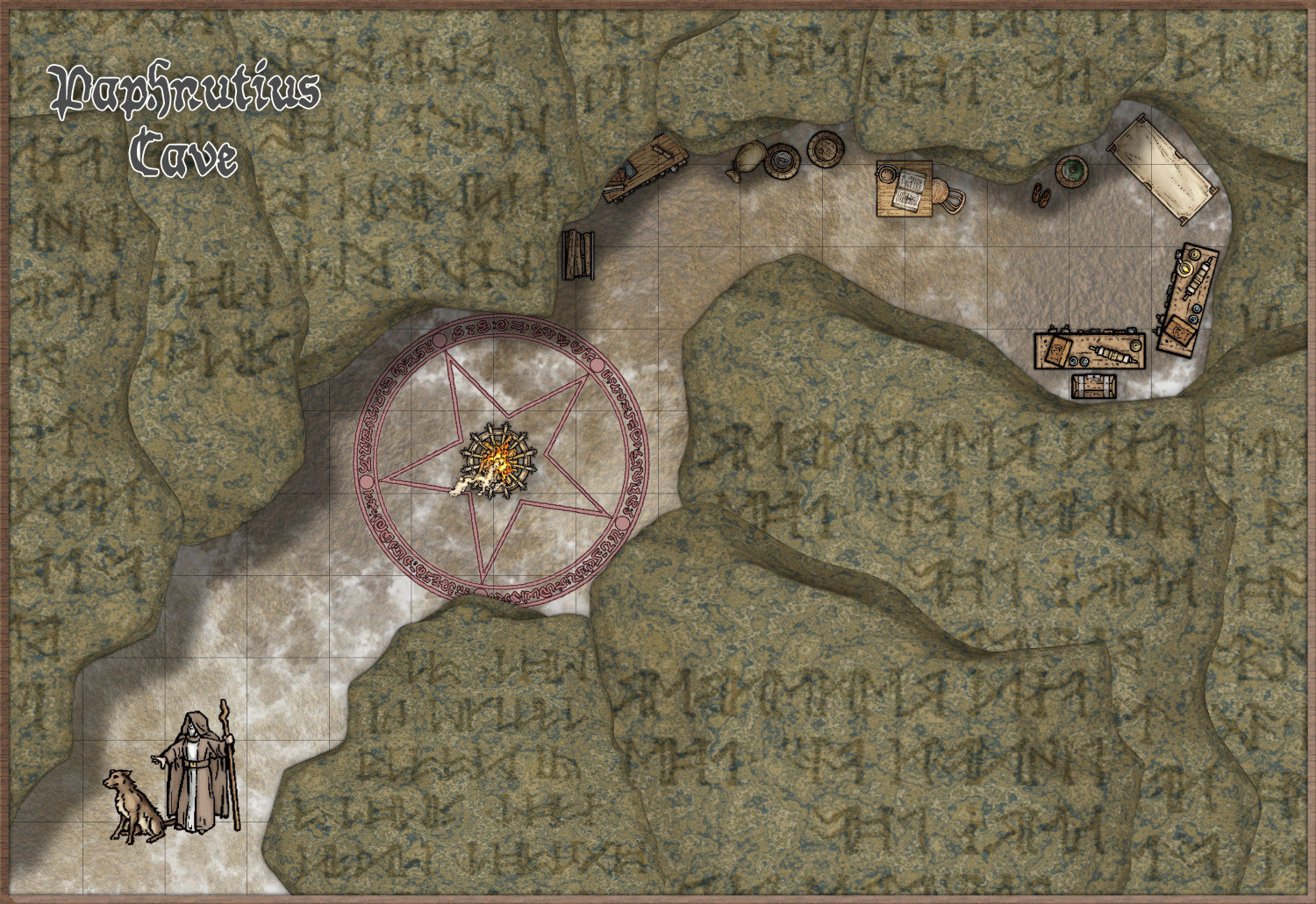
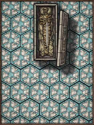
Community Atlas - Berenur - Urtrah Desert - Khala-te Talkh Oasis - Paphnutis Cave
-
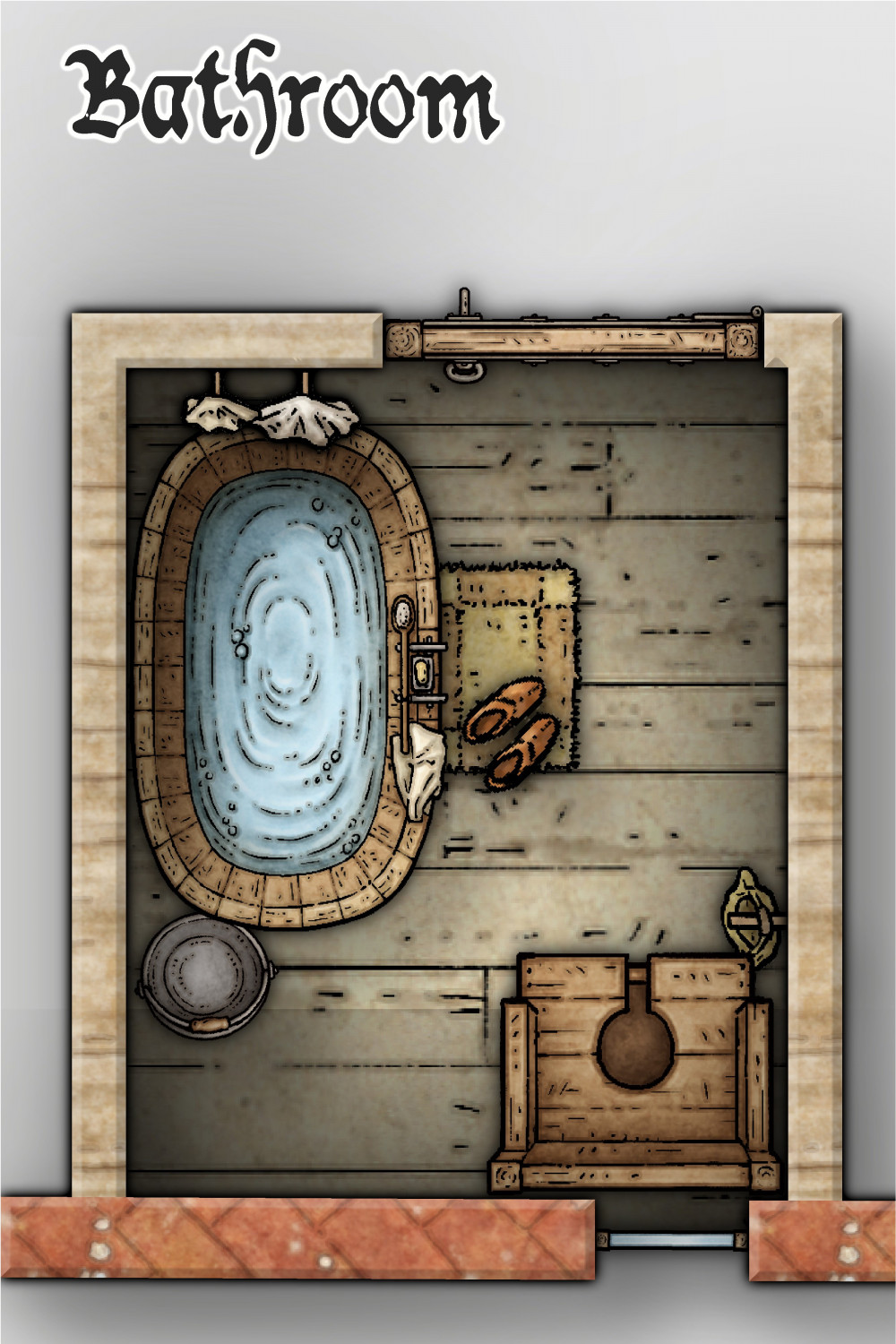
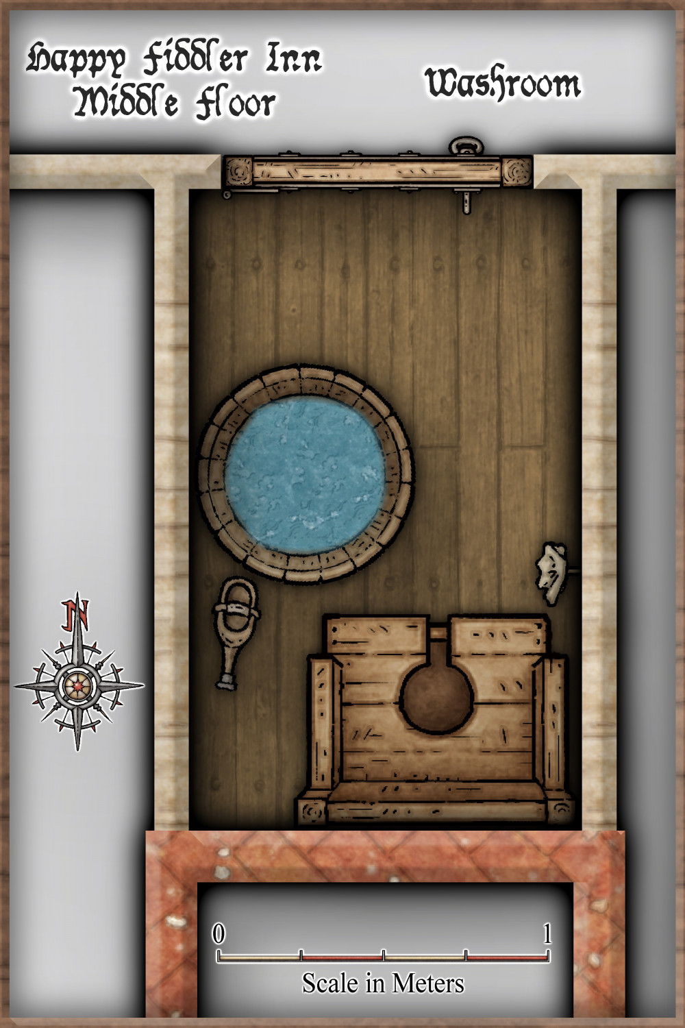
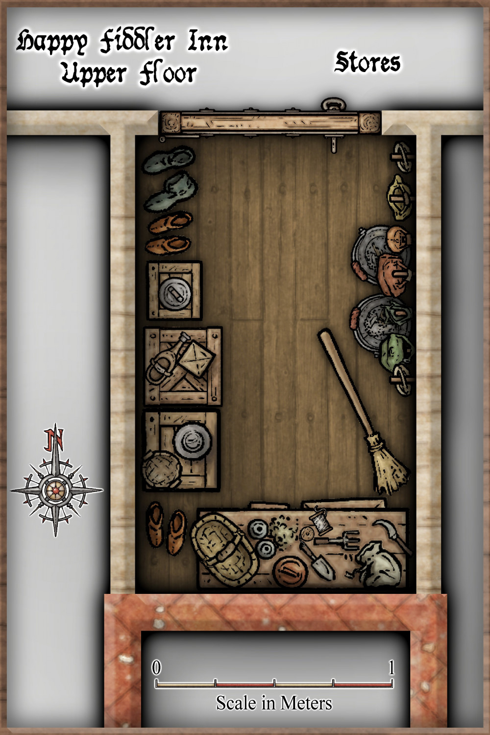
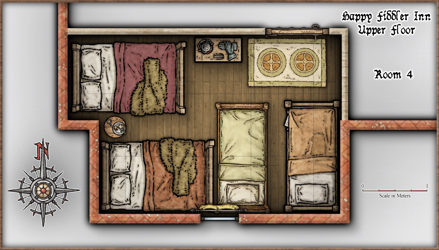
Community Atlas - Torstan Holy District - Happy Fiddler's Inn - a joint collaboration.
-
Community Atlas - Torstan Holy District - Happy Fiddler's Inn - a joint collaboration.
-
Community Atlas - Torstan Holy District - Happy Fiddler's Inn - a joint collaboration.